Gebhard

DE / NL

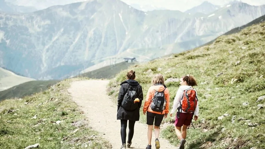
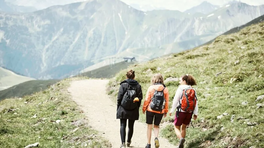
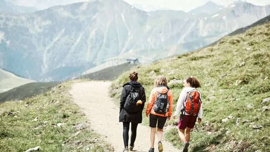
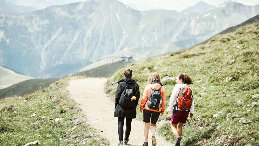
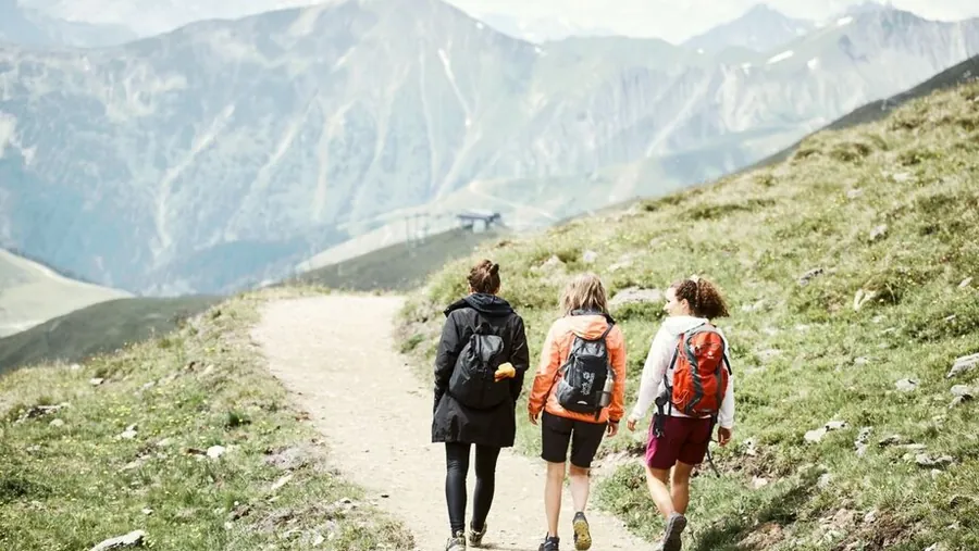
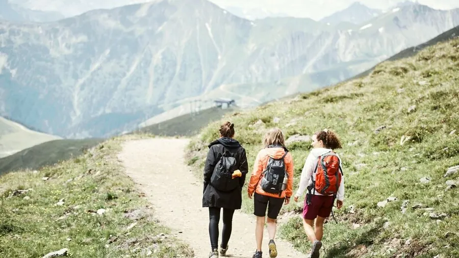
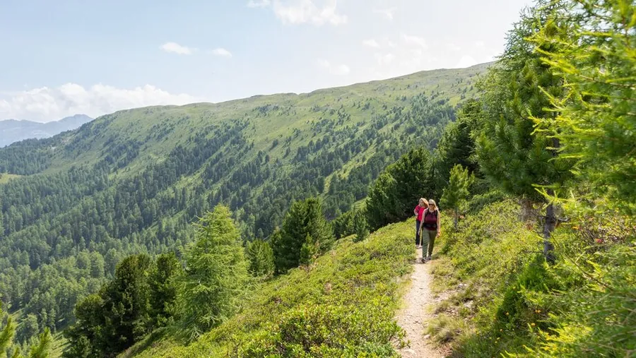
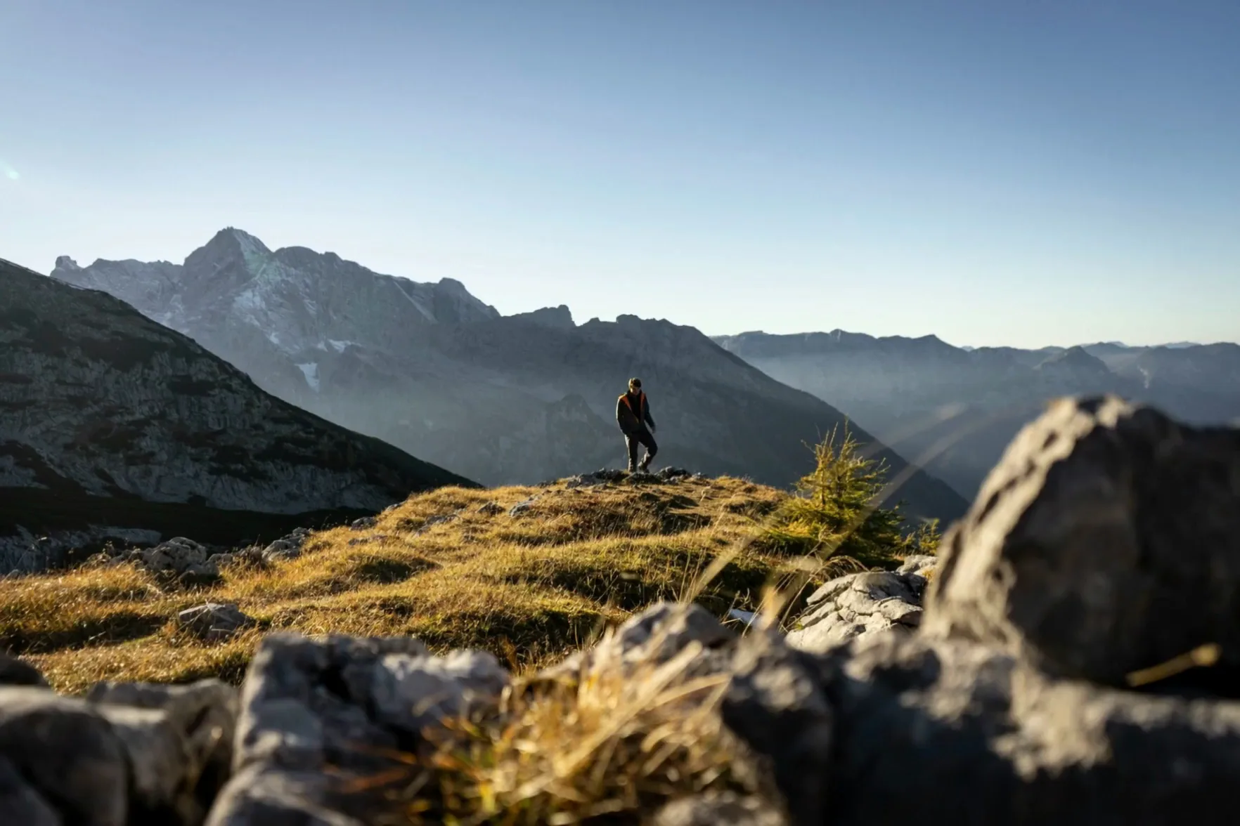
Hikers backlit on a ridge, with the mountain range behind them in the haze
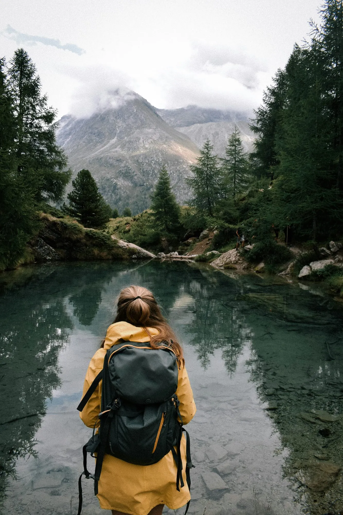
Woman hiking in a yellow jacket on the shore of a mountain lake in a larch forest

01 — Hiking

Hiking in Fiss. Over 500 kilometres of trails. Mountain lift travel included.

Serfaus-Fiss-Ladis has over 500 kilometres of marked trails, from level paths at altitude to high alpine hikes. Eleven mountain lifts take you up.

The Super. Sommer. Card. is included in your room rate: use it to ride as often as you like. The walkers’ bus between Serfaus, Fiss and Ladis is included too.

TRAILS
over 500 kilometres of marked trails
LIFTS
eleven, included in your room rate
HIKING BUS
between the three villages
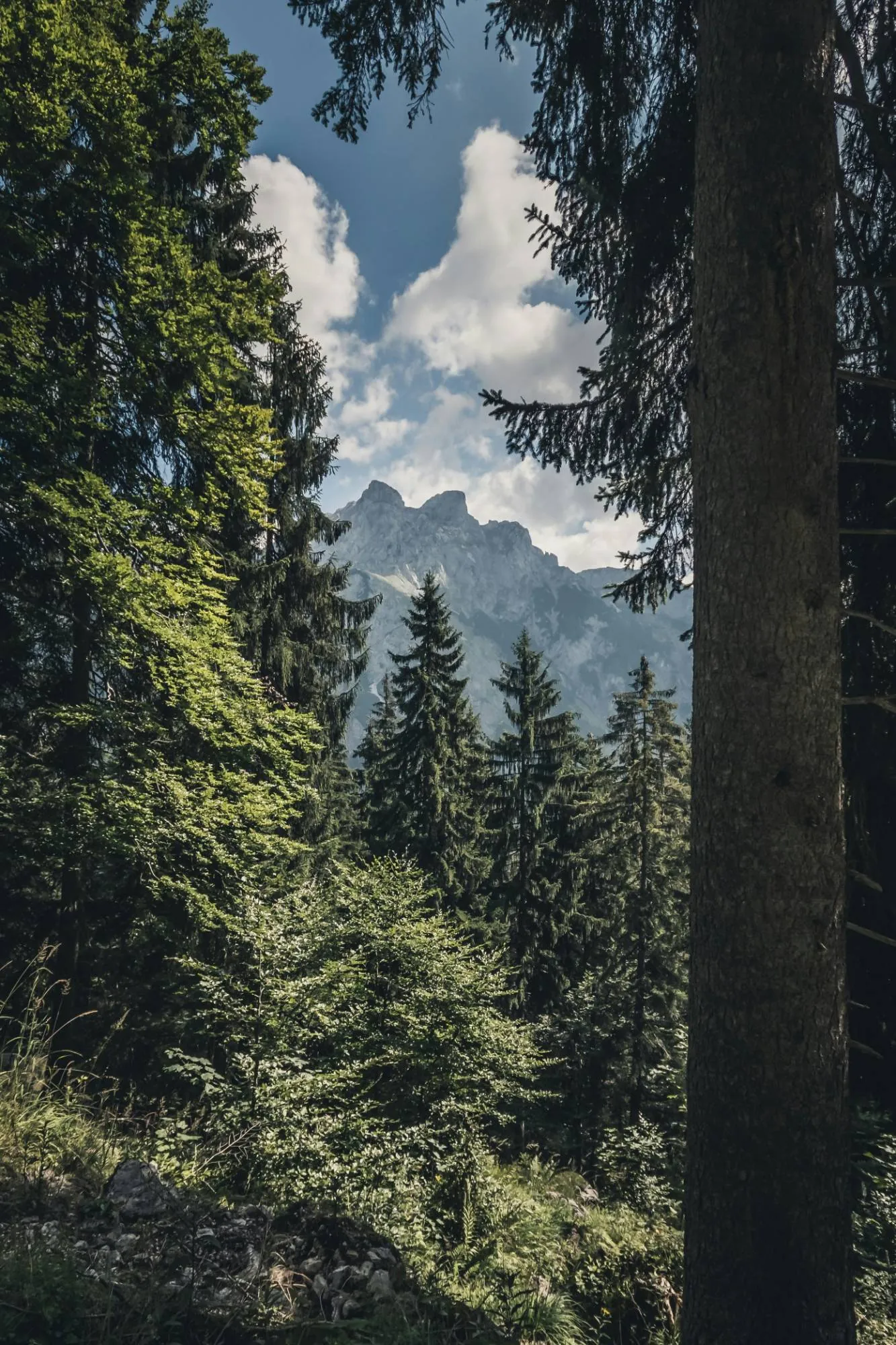
View between tall spruce trees towards a rocky summit and white clouds
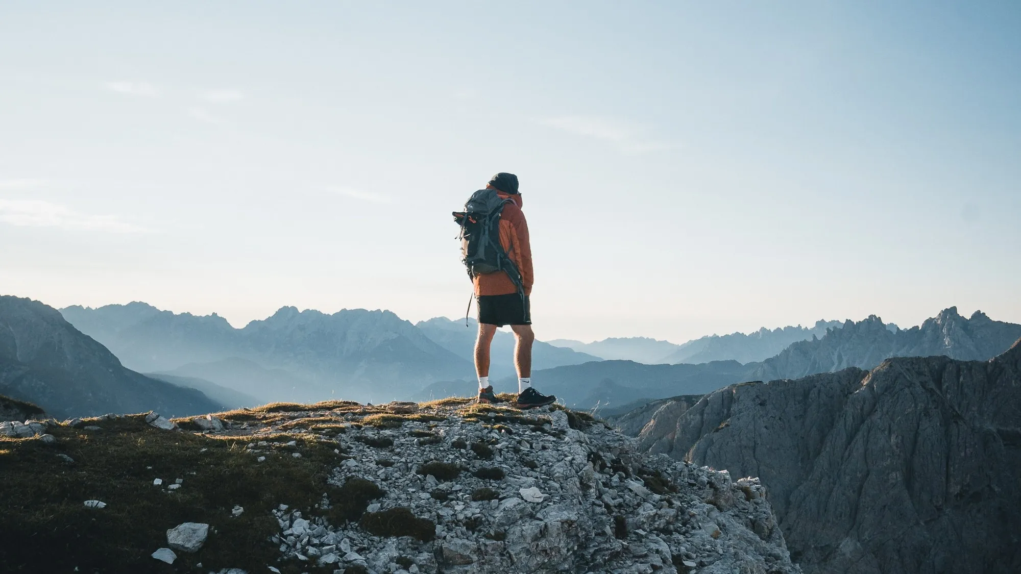
Hiker with a backpack and orange jacket standing on a rocky summit above blue mountain ranges

02 — Included in your room rate

Every mountain lift that’s open. Included.

The Super. Sommer. Card. is included in your room rate. You can collect it from reception from 8 am, even before you check in, and use it that same day.

You get unlimited travel on all mountain lifts that are open in Serfaus-Fiss-Ladis. Transport for bikes and dogs is not included. You can take the walkers’ bus between Serfaus, Fiss and Ladis as often as you like.

Village tours and guided mountain walks are included, as is childcare for children aged three and over at the Mini & Maxi Club in Fiss-Ladis and the Murmli Club in Serfaus. For cycling, there’s a discounted All-Mountain-Ticket and reduced rates on courses at the bike school.

SUMMER 2026
13 June to 11 October
COLLECT
from 8 am at reception
DEPOSIT
two euros, refunded at the turnstile
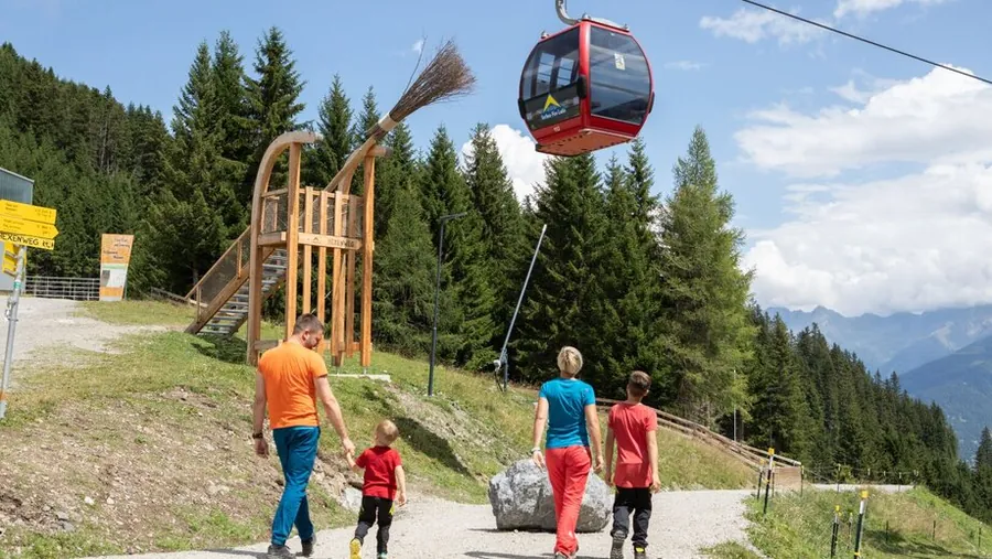
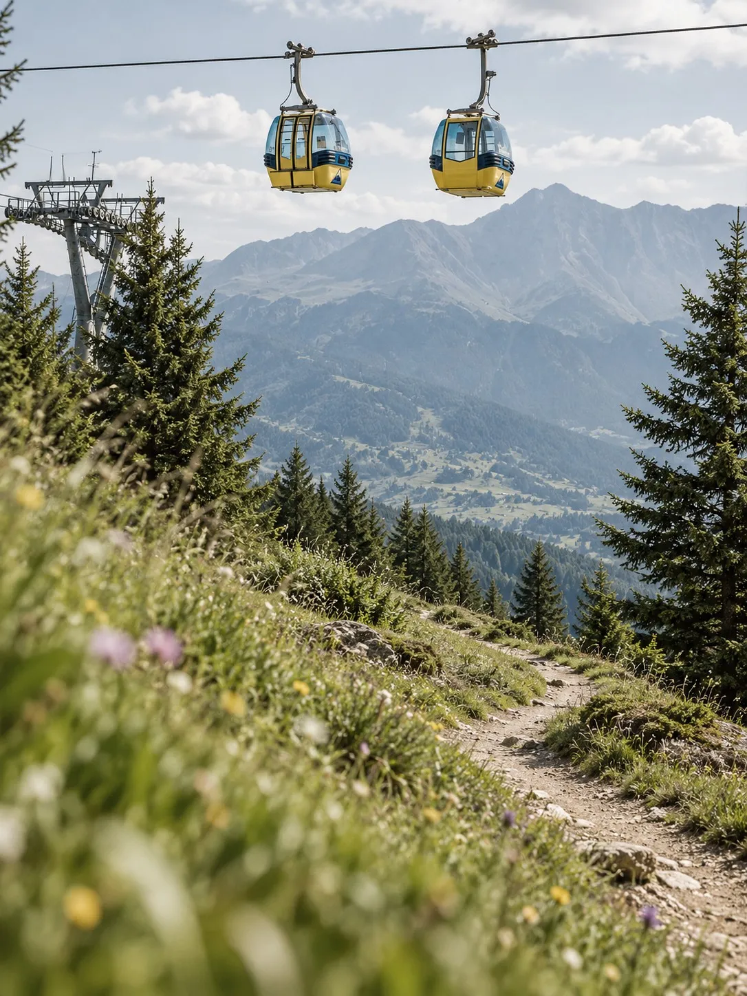
Two cable car gondolas above a mountain path lined with wildflowers, with a mountain range behind

03 — On your doorstep

Walk to the cable car in just a few minutes, at no extra charge.

From Fiss, you can walk to the Waldbahn and Schönjochbahn cable cars in just a few minutes: no car, no shuttle, no searching for parking. You decide in the morning whether to walk or take the cable car, rather than working out the cost the evening before.

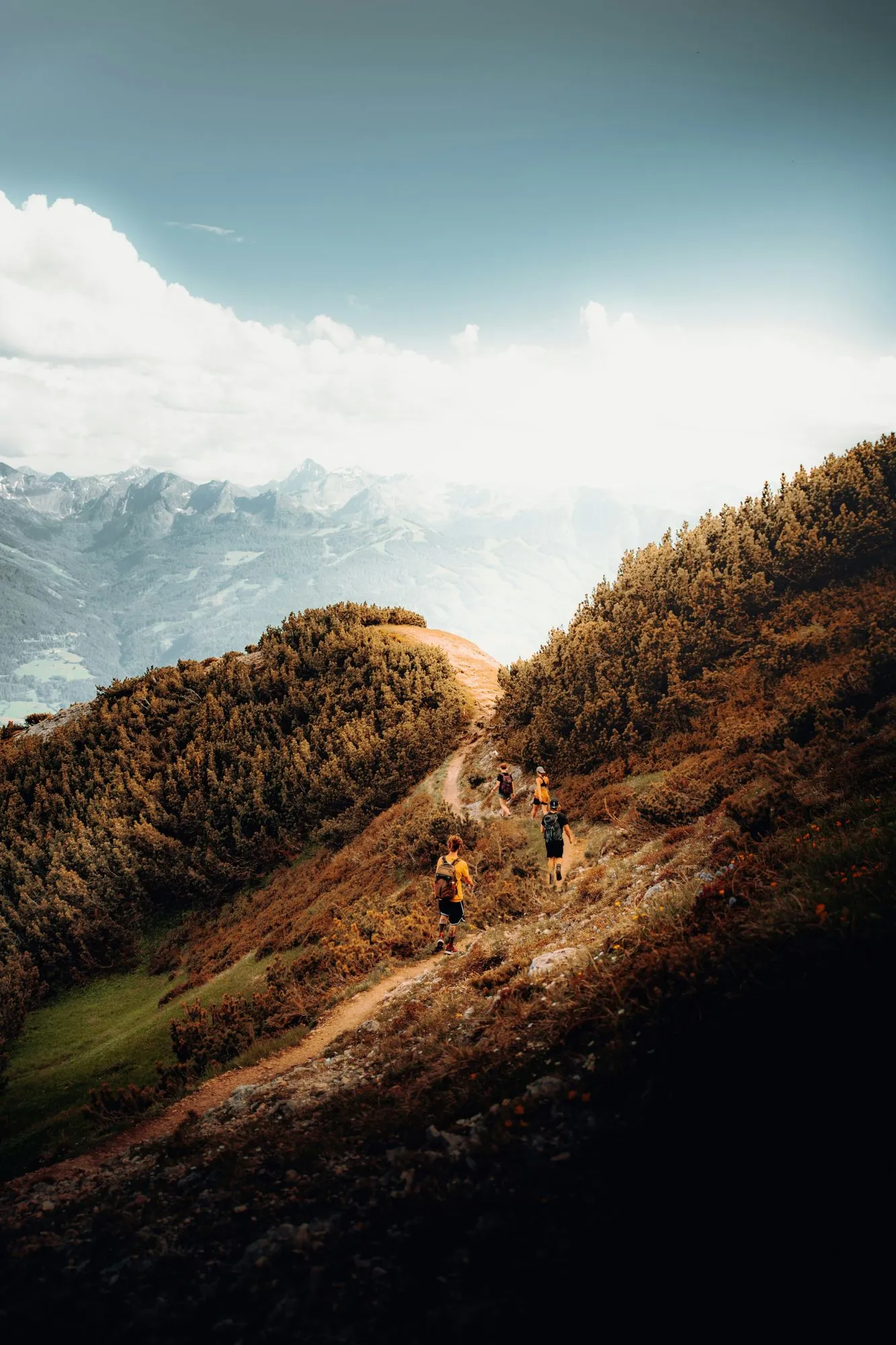
Three hikers climbing a path along a ridge turned yellow by autumn, with a mountain range and clouds behind
Two women hiking with backpacks, one pointing into a rocky valley with forest and mist

28

Tours from the hotel

From the hotel

Tour tips

Every hike starts at our front door, no car, no drive. Pick the level that suits your day.

  • Easy18
  • Moderate7
  • Difficult3

Clicking loads content from komoot.com. Data (e.g. your IP address) is transmitted to Komoot. More in the privacy policy.

Komoot guide, publicly available. See all tours from the hotel on komoot.com

01

Leichte Wanderungen18

01.01

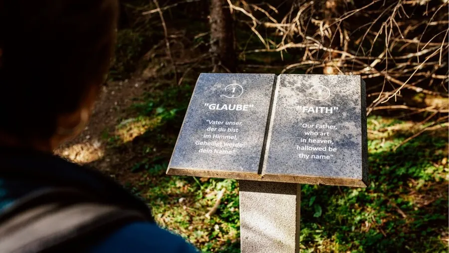
On the wayBesinnungswegFaith
01 / 03

Photo: Serfaus-Fiss-Ladis Marketing GmbH, Rene Raggl

Easy

Besinnungsweg

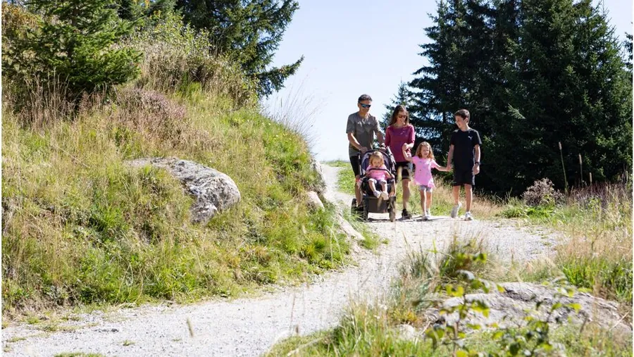
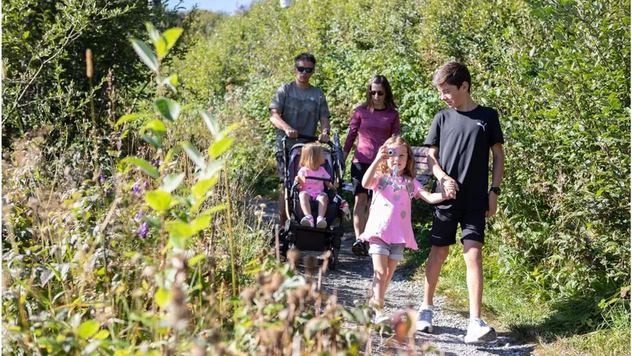
Loop from Seealm Hög, pushchair-friendly

Length
0.45km
Duration
0:30h
Ascent
47m
Descent
50m

0.45 km, 0:30 h, 47 m up, 50 m down

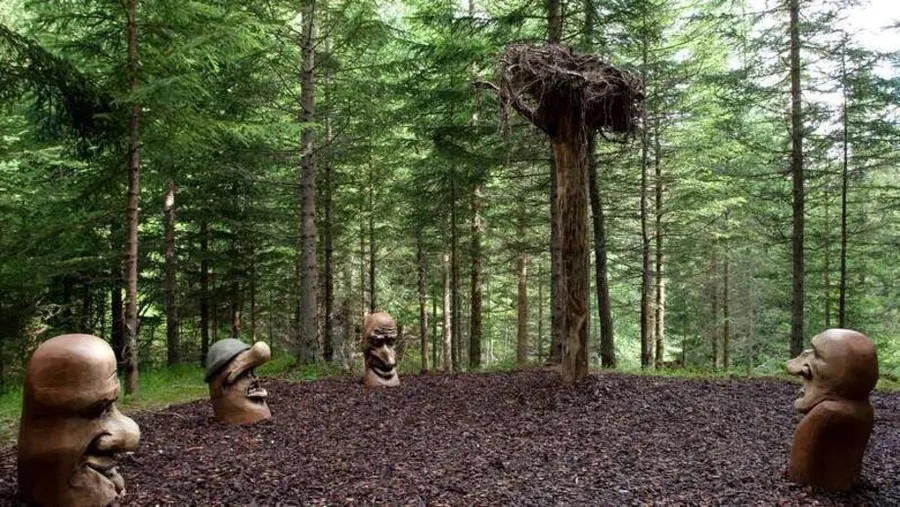
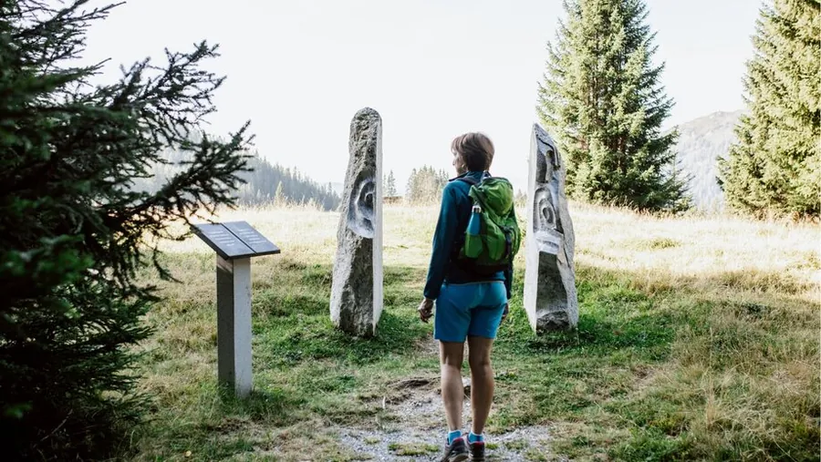
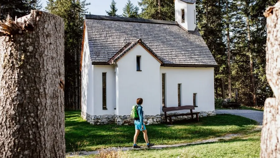
A quiet themed trail at Lake Hög with seven sculptures depicting the Lord's Prayer. On the east shore, surrounded by tall trees, stands the Familien-Lichter-Kapelle Hög.

Photo: Serfaus-Fiss-Ladis Marketing GmbH, Rene Raggl

Description

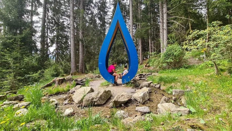
A quiet themed trail at Lake Hög with seven artistic sculptures depicting the Lord's Prayer, and the idyllic Familien-Lichter-Kapelle Hög.

Over 450 metres, seven sculptures give artistic form to the Lord's Prayer. A romantic gem on the east shore of Lake Hög, surrounded by tall trees, is the Familien-Lichter-Kapelle Hög, a chapel that puts the family in all its colourful facets centre stage.

Key facts

Start
Seealm Hög
Finish
Hög family chapel of lights
Tour
pushchair-friendly, loop
Difficulty
easy

Nearby

Food and stops
  • Erlebnispark HögSerfaus
  • Seealm HögSerfaus
  • Hög AlmRied im Oberinntal
Parking and service
  • Car park Ortseinfahrt - SerfausSerfaus

From the hotel

  1. From the hotel
  2. On footHotel Gebhard to Seealm Hög6320 m, about 79 min
  3. The tour
  4. S
    StartSeealm Hög0.45 km, 0:30 h
  5. Z
    FinishHög family chapel of lights
Hotel 1.433 mFinish 1.821 m0 km123456
Map key

on footMountain lift (dashed)Tour, light = low, dark = high (1808 to 1826 m)

Paths: OpenStreetMap contributors (ODbL), tour map Hotel Gebhard. Elevations and contour lines: EU-DEM 25 m (Copernicus)
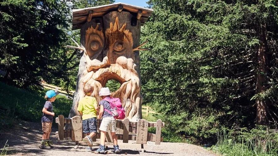
01.02

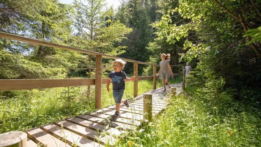
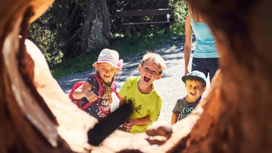
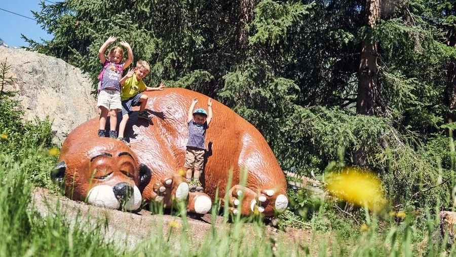
The Murmliweg in SerfausThrowing cones on the MurmliwegFun on the Murmliweg
01 / 03

Photo: Serfaus-Fiss-Ladis Marketing GmbH

Easy

Murmliweg

Bergstation Komperdellbahn to Waldweg, pushchair-friendly

Length
0.57km
Duration
0:20h
Ascent
12m
Descent
6m

0.57 km, 0:20 h, 12 m up, 6 m down

A short, varied themed trail in the world of Murmli with exciting stations for little explorers. It starts about 20 minutes below the Komperdell top station.

Photo: Serfaus-Fiss-Ladis Marketing GmbH

Description

A short, varied themed trail in the world of Murmli with exciting stations for little explorers.

The Murmliweg starts about 20 minutes below the Komperdell top station. Depending on which direction you walk it, you can then hike back to Serfaus on forest path no. 11 or meadow path no. 9.

Key facts

Start
Bergstation Komperdellbahn
Finish
Waldweg
Tour
pushchair-friendly
Difficulty
easy

Nearby

Parking and service
  • Car park Ortseinfahrt - SerfausSerfaus

From the hotel

  1. From the hotel
  2. On footHotel Gebhard to Talstation Waldbahn966 m, about 13 min
  3. 2
    Mountain liftWaldbahn upfrom 1411 m to 1827 m, 416 m elevation
  4. 3
    On footBergstation Waldbahn to Bergstation Sunliner33 m, about 1 min
  5. 4
    Mountain liftSunliner downfrom 1828 m to 1439 m, 389 m elevation
  6. 5
    On footTalstation Sunliner to Talstation Komperdellbahn95 m, about 2 min
  7. 6
    Mountain liftKomperdellbahn upfrom 1445 m to 1974 m, 529 m elevation
  8. The tour
  9. S
    StartBergstation Komperdellbahn0.57 km, 0:20 h
  10. Z
    FinishWaldweg
WALDBAHNSUNLINERKOMPERDELLBAHNHotel 1.433 mWaldbahn 1.827 mSunliner 1.439 mKomperdellbahn 1.974 mFinish 1.885 m0 km123456
Map key

on footMountain lift (dashed)Tour, light = low, dark = high (1847 to 1885 m)

Paths: OpenStreetMap contributors (ODbL), tour map Hotel Gebhard. Elevations and contour lines: EU-DEM 25 m (Copernicus)
01.03

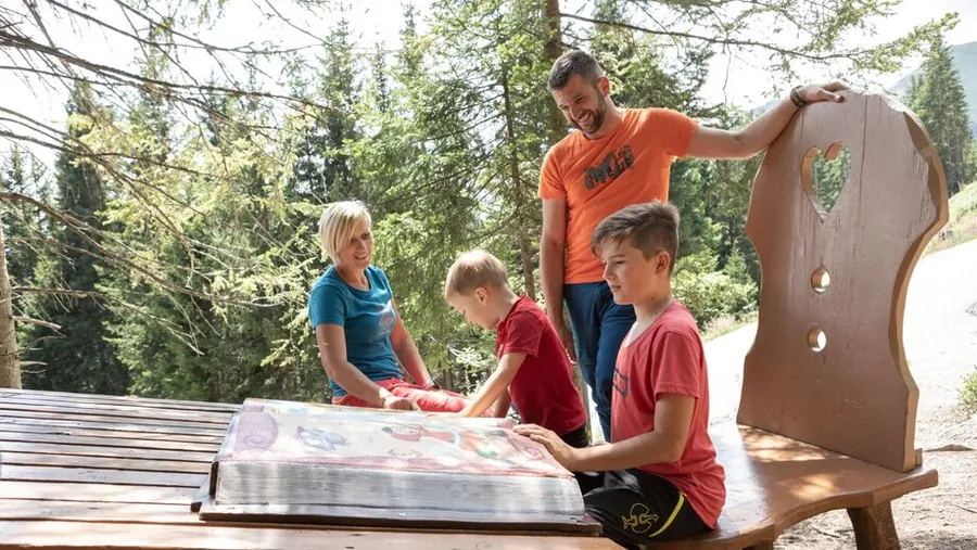
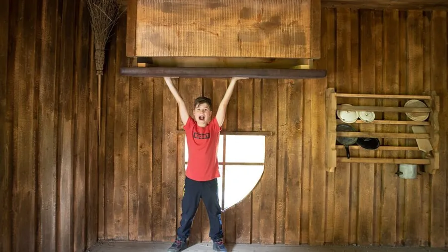
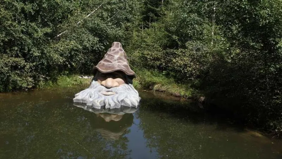
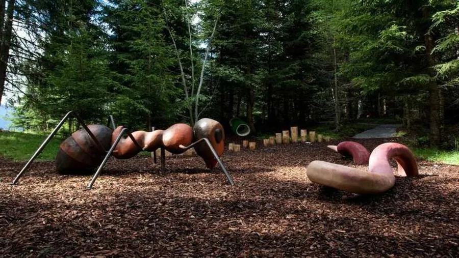
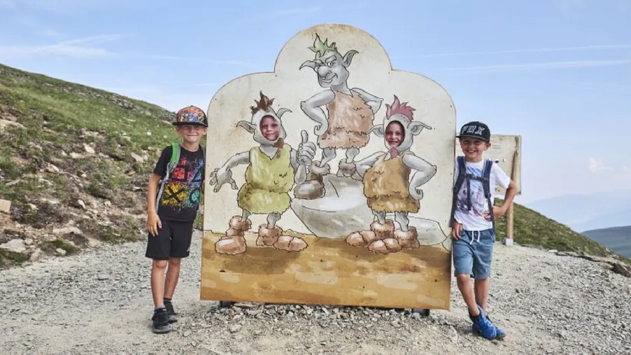
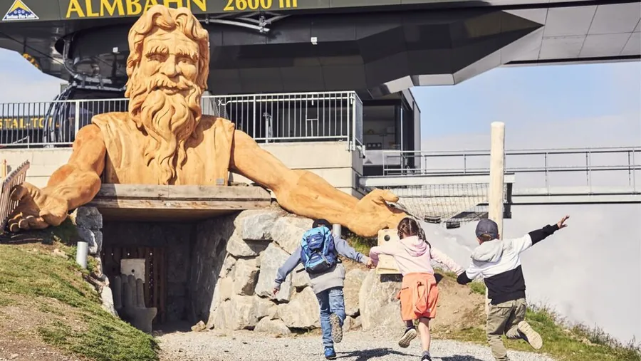
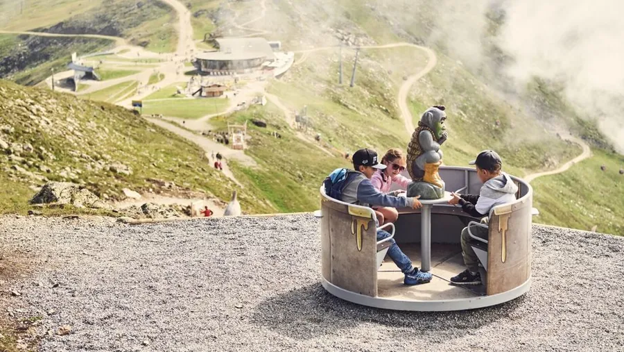
Station on the Goldener-Mann-WegThe Goldener-Mann-WegThe mighty giantPlay station on the Goldener-Mann-WegGoldener-Mann-Weg in FissClimbing stationFun and games at the Fisser JochGoldener-Mann-WegPuzzle station on the Goldener-Mann-WegGoldener-Mann-Weg on the Fisser Joch
01 / 10

Photo: Serfaus-Fiss-Ladis Marketing GmbH

Easy

Goldener-Mann-Weg

Kinder-Bergwerk am Schönjoch to Bergstation der Almbahn

Length
0.93km
Duration
0:36h
Ascent
144m

0.93 km, 0:36 h, 144 m up

Magic on the trail! Get the audio play and set off on an adventure.

Photo: Serfaus-Fiss-Ladis Marketing GmbH

Description

Magic on the trail! Get the audio play and set off on an adventure.

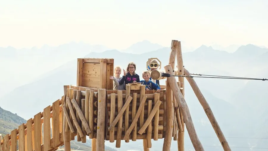
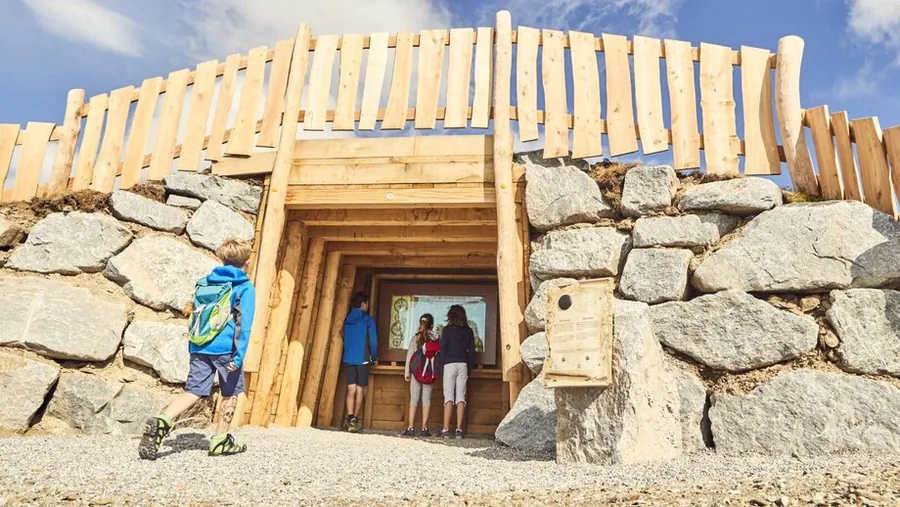
A mighty giant known by the resounding name of the "Golden Man" once roamed the mountains of Fiss. After some years the Golden Man settled down and slowly grew into the Fiss mountains. But the myth of the Golden Man, said to lie hidden deep in the earth, sent greedy gnomes searching for him night after night. To stop these sly creatures, the young shepherd Fulgenz teamed up with his friends and stood in their way. Join them on their mission to put an end to the greedy gnomes and defeat them with the knowledge of nature. From the children's mine at the Schönjoch in Fiss, eleven educational stations lead over mountain paths and wobbly bridges, play stations and climbing courses to the finish.

Key facts

Start
Kinder-Bergwerk am Schönjoch
Finish
Bergstation der Almbahn
Tour
family-friendly
Difficulty
easy

Nearby

Food and stops
  • Panoramarestaurant BergDiamantFiss
Parking and service
  • Short-stay parking Cable car car park P1 - FissFiss
  • Cable car car park P1-P3 - FissFiss

From the hotel

  1. From the hotel
  2. On footHotel Gebhard to Kinder-Bergwerk am Schönjoch6450 m, about 81 min
  3. The tour
  4. S
    StartKinder-Bergwerk am Schönjoch0.93 km, 0:36 h
  5. Z
    FinishBergstation der Almbahn
Hotel 1.433 mFinish 2.576 m0 km1234567
Map key

on footMountain lift (dashed)Tour, light = low, dark = high (2432 to 2576 m)

Paths: OpenStreetMap contributors (ODbL), tour map Hotel Gebhard. Elevations and contour lines: EU-DEM 25 m (Copernicus)
01.04

Mountain hike in summer

Photo: Serfaus-Fiss-Ladis Marketing GmbH

Easy

Alpine promenade

Loop from Bergstation Komperdellbahn, pushchair-friendly

Length
1.5km
Duration
0:45h
Ascent
27m
Descent
39m

1.5 km, 0:45 h, 27 m up, 39 m down

A lovely hike from the Komperdell top station through the alpine mountains of Serfaus with impressive views. The path passes the Schalber Alm to the reservoir and on to the Cervosa Alm.

Photo: Serfaus-Fiss-Ladis Marketing GmbH

Description

A lovely hike from the Komperdell top station through the alpine mountains of Serfaus with impressive views.

An easy walk leads from the top station past the Schalber Alm to the reservoir, on to the Cervosa Alm and back to the starting point below the Kölner Haus. Along the way there is interesting information on the history of Serfaus and skiing.

Key facts

Start
Bergstation Komperdellbahn
Finish
Bergstation Komperdellbahn
Tour
pushchair-friendly, loop
Difficulty
easy

Nearby

Food and stops
  • Hugo's Cervosa AlmSerfaus
  • Kölner HausSerfaus
  • Schalber AlmSerfaus
Parking and service
  • Car park Ortseinfahrt - SerfausSerfaus

From the hotel

  1. From the hotel
  2. On footHotel Gebhard to Talstation Waldbahn966 m, about 13 min
  3. 2
    Mountain liftWaldbahn upfrom 1411 m to 1827 m, 416 m elevation
  4. 3
    On footBergstation Waldbahn to Bergstation Sunliner33 m, about 1 min
  5. 4
    Mountain liftSunliner downfrom 1828 m to 1439 m, 389 m elevation
  6. 5
    On footTalstation Sunliner to Talstation Komperdellbahn95 m, about 2 min
  7. 6
    Mountain liftKomperdellbahn upfrom 1445 m to 1974 m, 529 m elevation
  8. The tour
  9. S
    StartBergstation Komperdellbahn1.5 km, 0:45 h
  10. Z
    FinishBergstation Komperdellbahn
  11. A
    Mountain liftKomperdellbahn downfrom 1974 m to 1445 m, 529 m elevation
  12. B
    On footTalstation Komperdellbahn to Talstation Sunliner95 m, about 2 min
  13. C
    Mountain liftSunliner upfrom 1439 m to 1828 m, 389 m elevation
  14. D
    On footBergstation Sunliner to Bergstation Waldbahn33 m, about 1 min
  15. E
    Mountain liftWaldbahn downfrom 1827 m to 1411 m, 416 m elevation
  16. F
    On footTalstation Waldbahn to Hotel Gebhard966 m, about 13 min
WALDBAHNSUNLINERKOMPERDELLBAHNHotel 1.433 mWaldbahn 1.827 mSunliner 1.439 mKomperdellbahn 1.974 mFinish 1.958 m0 km1234567
Map key

on footMountain lift (dashed)Tour, light = low, dark = high (1928 to 1979 m)

Paths: OpenStreetMap contributors (ODbL), tour map Hotel Gebhard. Elevations and contour lines: EU-DEM 25 m (Copernicus)
01.05

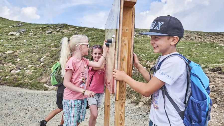
Station on the Fisser Gonde nature trailFisser Gonde themed trailThemed trail through natureFisser Gonde natural monumentFisser Gonde themed trailPlants and grasses on the Fisser Gonde nature trailStation on the Fisser Gonde themed trailStation at the Fisser GondeView from the Fisser Gonde
01 / 09

Photo: Serfaus-Fiss-Ladis Marketing GmbH

Easy

Naturthemensteig Fisser Gonde

Loop from Möseralm

Length
1.57km
Duration
1:30h
Ascent
163m
Descent
131m

1.57 km, 1:30 h, 163 m up, 131 m down

The fascination of the Fisser Gonde, pure nature up close! Discover the protected natural monument above the Möseralm and marvel at the impressive slopes of the Samnaun range.

Photo: Serfaus-Fiss-Ladis Marketing GmbH

Description

The fascination of the Fisser Gonde, pure nature up close! Discover the protected natural monument above the Möseralm and marvel at the impressive slopes of the Samnaun range. A nature experience that leaves a lasting impression!

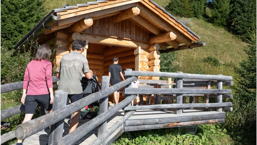
The themed trail starts right at the Möseralm mountain restaurant (F113). You first walk across mountain meadows and, after crossing a small stream, enter the tall spruce forest below the Gonde through the entrance gate (F114). From there you always follow the historic mountain path that farmers once used to climb to their hay meadows. At one point a spur branches off that leads you directly onto the Gonde and gives you an impressive panoramic view of this natural phenomenon (F115). At the highest point of the route, a cosy resting place with a hut invites you to linger (F116), in the middle of these slightly overgrown hay meadows. On the way down you can walk along the new route.

Key facts

Start
Möseralm
Finish
Möseralm
Tour
Loop
Difficulty
easy

Nearby

Food and stops
  • Bergrestaurant MöseralmFiss
  • Sommer-Funpark FissFiss
Parking and service
  • Short-stay parking Cable car car park P1 - FissFiss
  • Cable car car park P1-P3 - FissFiss

From the hotel

  1. From the hotel
  2. On footHotel Gebhard to Talstation Möseralmbahn562 m, about 8 min
  3. 2
    Mountain liftMöseralmbahn upfrom 1464 m to 1818 m, 354 m elevation
  4. The tour
  5. S
    StartMöseralm1.57 km, 1:30 h
  6. Z
    FinishMöseralm
  7. A
    Mountain liftMöseralmbahn downfrom 1818 m to 1464 m, 354 m elevation
  8. B
    On footTalstation Möseralmbahn to Hotel Gebhard562 m, about 8 min
MÖSERALMBAHNHotel 1.433 mMöseralmbahn 1.818 mFinish 1.840 m0 km123
Map key

on footMountain lift (dashed)Tour, light = low, dark = high (1812 to 1954 m)

Paths: OpenStreetMap contributors (ODbL), tour map Hotel Gebhard. Elevations and contour lines: EU-DEM 25 m (Copernicus)
01.06

Wasserwandersteig in LadisWasserwandersteig in LadisWasserwandersteig in LadisWasserwandersteig in LadisWasserwandersteig in LadisWasserwandersteig in Ladis
01 / 06

Photo: Serfaus-Fiss-Ladis Marketing GmbH

Easy

Wasserwandersteig

Oberer Dorfbrunnen to Obladis

Length
1.82km
Duration
2:00h
Ascent
249m
Descent
57m

1.82 km, 2:00 h, 249 m up, 57 m down

From healing and mineral water to the castle pond. Energy for body and mind.

Photo: Serfaus-Fiss-Ladis Marketing GmbH

Description

From healing and mineral water to the castle pond. Energy for body and mind. Hike in the footsteps of the "Tiroler Sauerbrunnquelle" spring, with stations on the importance and many uses of water. The trail was refreshed with new attractions by the two artists Manfred Hellweger and Sandra Brugger. Even in the old legends of Ladis, water has a mystical meaning. In "The Nixie Pond near Obladis" a young man dies, enchanted by the beauty of the nixie queen. "The Last Knight of Laudeck" sinks into the castle pond because he cannot wait to be in his beloved's arms.

At the start of the trail, a water wheel (L007) shows you how the power of water was once used for mills and saws. The path continues over the "Wave" and to the "Water Curtain", followed by the "Water Channels" and the newly designed "Giant Spring". In the water loop a "Water Drop" invites you to linger. Listen to the melody of the water: depending on its mood it plays cheerfully, thoughtfully or sadly and adapts to yours. The passing stream is the accompanying orchestra, with millions of water drops as musicians. Past the "Fanggaloch" tufa grotto you reach the sulphur spring. The red colour of the brook does not come from the sulphur but from the high iron content, which is why you can even smell the water here. At the end of the trail is the Sauerbrunn spring. Writings from as early as 1571 mention that strangers and princes from South Tyrol, Switzerland and Bavaria came to use the healing power of the water. Today the "Tiroler Sauerbrunn" is still used for complaints of the kidneys, liver, intestines and stomach, congested airways, asthma and more. You can buy the water in bottles or taste it directly at the fountain.

Key facts

Start
Oberer Dorfbrunnen
Finish
Obladis
Tour
Themed trail
Difficulty
easy

Nearby

Food and stops
  • Café ObladisLadis
Parking and service
  • Short-stay parking oberhalb Pavillon - LadisLadis
  • Short-stay parking Infobüro - LadisLadis
  • Short-stay parking neben Café-Pub Castellino - LadisLadis

From the hotel

  1. From the hotel
  2. On footHotel Gebhard to Oberer Dorfbrunnen4630 m, about 58 min
  3. The tour
  4. S
    StartOberer Dorfbrunnen1.82 km, 2:00 h
  5. Z
    FinishObladis
Hotel 1.433 mFinish 1.393 m0 km123456
Map key

on footMountain lift (dashed)Tour, light = low, dark = high (1195 to 1404 m)

Paths: OpenStreetMap contributors (ODbL), tour map Hotel Gebhard. Elevations and contour lines: EU-DEM 25 m (Copernicus)
01.07

Mountain hiking in Serfaus-Fiss-Ladis

Photo: Serfaus-Fiss-Ladis Marketing GmbH

Easy

Weg der Verliebten

Loop from Apart Moos (Planq. I7)

Length
2.73km
Duration
1:30h
Ascent
112m
Descent
127m

2.73 km, 1:30 h, 112 m up, 127 m down

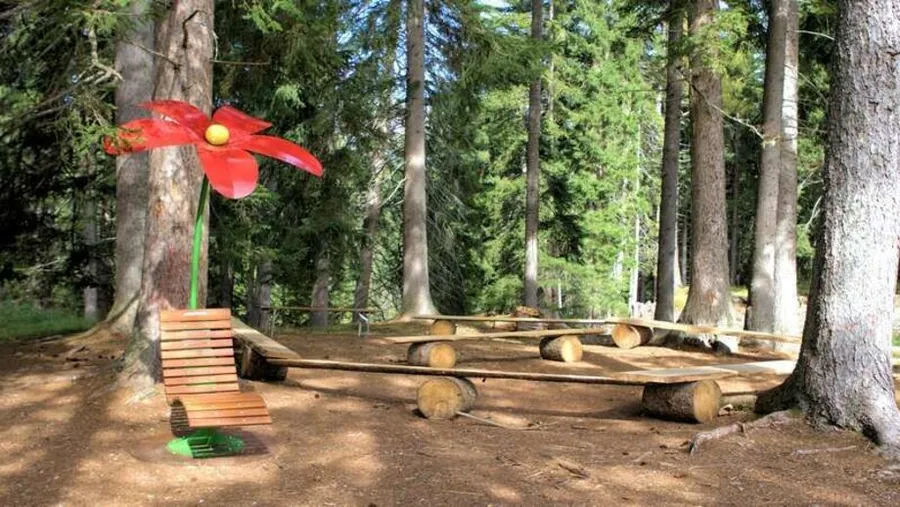
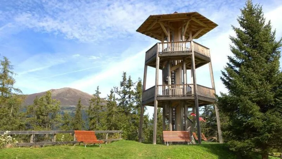
Relaxation with a view: the easy path leads through flowering meadows to the viewing pavilion with a wonderful view of the Inn valley. Along the way, plenty of relax benches invite you to linger.

Photo: Serfaus-Fiss-Ladis Marketing GmbH

Description

Relaxation with a view: the easy path leads through flowering meadows to the viewing pavilion with a wonderful view of the Inn valley. Plenty of relax benches along the way invite you to linger and enjoy.

The path starts at Apart Moos (S001) on a tarmac road through flowering meadows to the junction (S003). There, turn left onto the gravel path, past the viewing pavilion with a wonderful view of the Inn valley. Plenty of relax benches along the way invite you to rest. From Pearfl (S008) the wide tractor track continues and turns into a tarmac path. Past the football pitch (S007) the path finally leads back to Serfaus.

Key facts

Start
Apart Moos (Planq. I7)
Finish
Apart Moos (Planq. I7)
Tour
Loop
Difficulty
easy

Nearby

Parking and service
  • Car park Ortseinfahrt - SerfausSerfaus

From the hotel

  1. From the hotel
  2. On foot or by busHotel Gebhard to Apart Moos (Planq. I7)about 2.2 km as the crow flies, please follow the signs
  3. The tour
  4. S
    StartApart Moos (Planq. I7)2.73 km, 1:30 h
  5. Z
    FinishApart Moos (Planq. I7)
Hotel 1.433 mFinish 1.406 m0 km1234
Map key

on footMountain lift (dashed)Tour, light = low, dark = high (1306 to 1408 m)

Paths: OpenStreetMap contributors (ODbL), tour map Hotel Gebhard. Elevations and contour lines: EU-DEM 25 m (Copernicus)
01.08

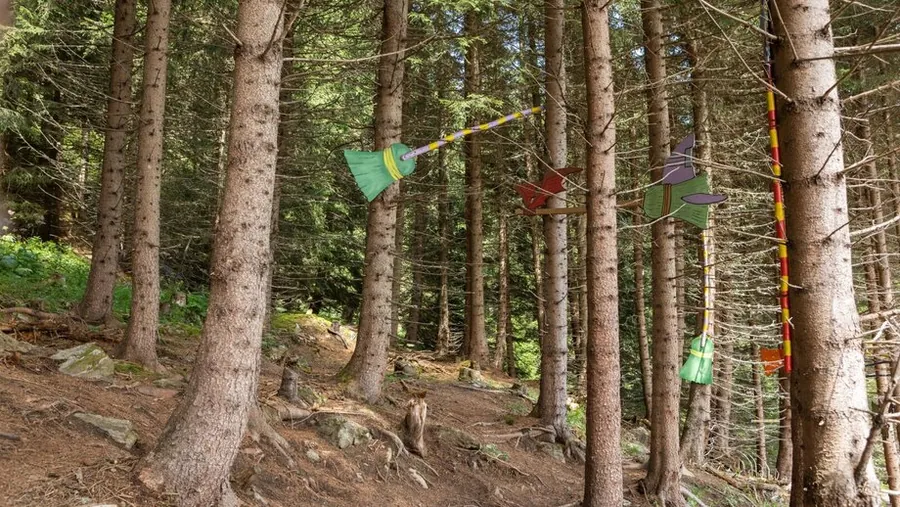
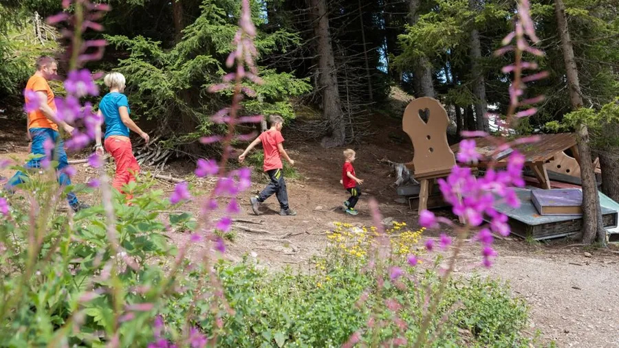
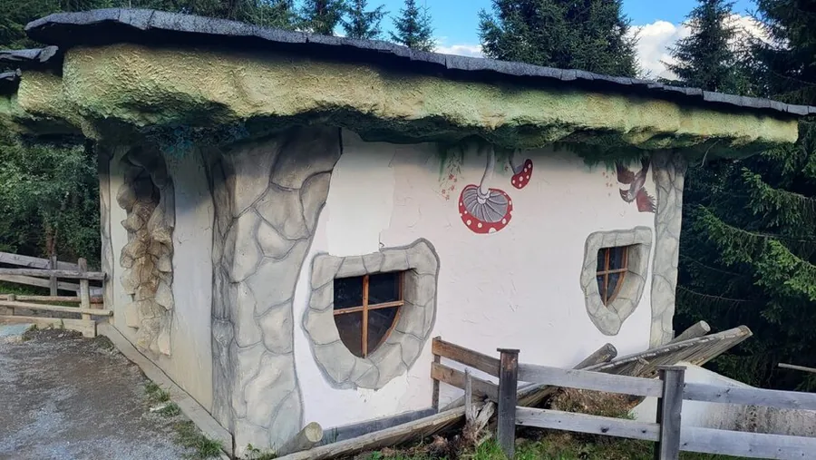
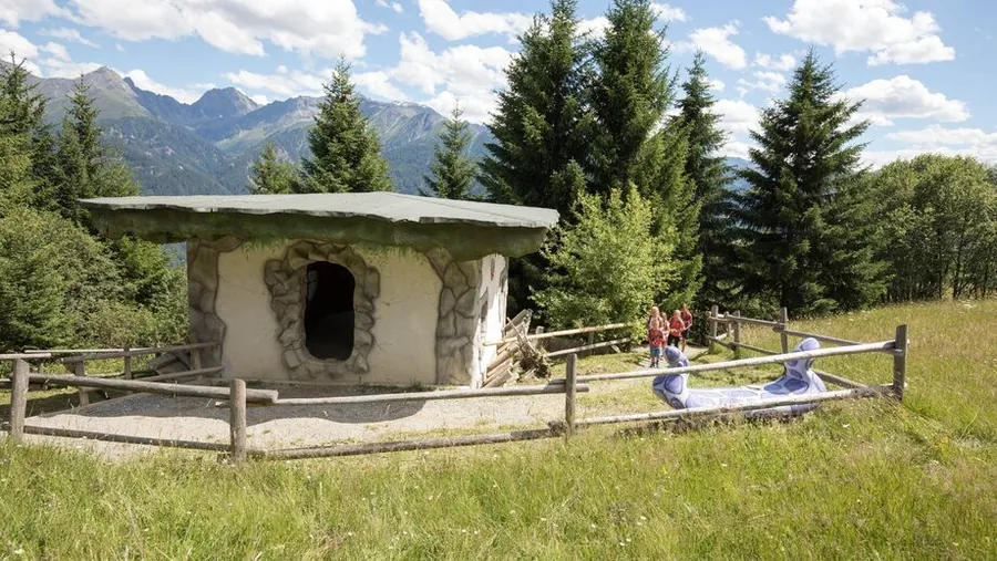
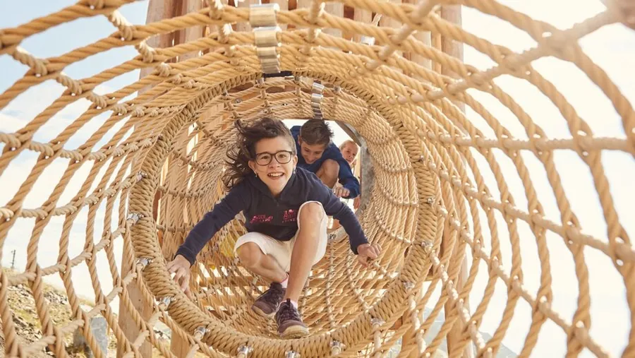
Hexenweg themed trail in FissHexenweg in FissFloating brooms on the HexenwegFamily hiking on the HexenwegFairy-tale HexenwegUpside-down witch's house on the HexenwegWitch's hutWitches' Trail
01 / 08

Photo: Serfaus-Fiss-Ladis Marketing GmbH, Andreas Kirschner

Easy

Witches' Trail

Schönjochbahn Mittelstation to Familienrestaurant Sonnenburg

Length
3.01km
Duration
1:15h
Ascent
22m
Descent
466m

3.01 km, 1:15 h, 22 m up, 466 m down

Fairies, elves and witches have always been at home on the high plateau. The puzzle booklet with colourful stickers is available at the lift ticket offices and in the tourist offices.

Photo: Serfaus-Fiss-Ladis Marketing GmbH, Andreas Kirschner

Description

The puzzle booklet with colourful stickers is available at the lift ticket offices and in the tourist offices of Serfaus-Fiss-Ladis. The "Adventure Mountains" experiences are also available in the SFL app.

Fairies, elves and witches have always lived on the Serfaus-Fiss-Ladis high plateau. This themed trail is dedicated to the doings of the witches. The children start their adventure in Fiss at the middle station of the Schönjochbahn (F061) and walk through the forest towards the Kuhalm (F121). The trail holds many puzzles and challenges, but also fairy-tale apparitions that have to be solved with skill and ingenuity. Unusual noises and sounds can be heard, and obstacles have to be overcome by balancing and climbing. Situational thinking, creativity and stamina are the virtues the children need before they finally reach the witch's house (F123). There they unravel the story of the witch Peppina Glockenkuss, who made a mistake while experimenting. Her little house flew into the air and landed upside down on the ground. The objects standing and hanging along the trail, which are part of the puzzle, all come from the witch's house. Once all puzzles are solved, the children can collect their certificate at the following places: in the tourist offices of Serfaus-Fiss-Ladis and at the Familienrestaurant Sonnenburg.

Key facts

Start
Schönjochbahn Mittelstation
Finish
Familienrestaurant Sonnenburg
Tour
family-friendly
Difficulty
easy

Nearby

Food and stops
  • Bergrestaurant SteineggFiss
  • Kuh AlmFiss
  • Familienrestaurant SonnenburgFiss
Parking and service
  • Short-stay parking Cable car car park P1 - FissFiss
  • Cable car car park P1-P3 - FissFiss

From the hotel

  1. From the hotel
  2. On footHotel Gebhard to Talstation Schönjochbahn I613 m, about 8 min
  3. 2
    Mountain liftSchönjochbahn I upfrom 1473 m to 1912 m, 439 m elevation
  4. The tour
  5. S
    StartSchönjochbahn Mittelstation3.01 km, 1:15 h
  6. Z
    FinishFamilienrestaurant Sonnenburg
SCHÖNJOCHBAHN IHotel 1.433 mSchönjochbahn I 1.912 mFinish 1.544 m0 km12345
Map key

on footMountain lift (dashed)Tour, light = low, dark = high (1544 to 1911 m)

Paths: OpenStreetMap contributors (ODbL), tour map Hotel Gebhard. Elevations and contour lines: EU-DEM 25 m (Copernicus)
01.09

Mountain hiking in Serfaus-Fiss-Ladis

Photo: Serfaus-Fiss-Ladis Marketing GmbH

Easy

Wiesenweg to Ladis

Josefskapelle to Ladis, pushchair-friendly

Length
3.15km
Duration
1:00h
Ascent
231m
Descent
260m

3.15 km, 1:00 h, 231 m up, 260 m down

The meadow path leads from Fiss to Ladis on quiet meadow and field paths. The connection runs at a relaxed pace through the farming landscape.

Photo: Serfaus-Fiss-Ladis Marketing GmbH

Description

The meadow path leads from Fiss to Ladis on quiet meadow and field paths. The pleasant connection between the two villages is ideal for a relaxed hike through the farming landscape.

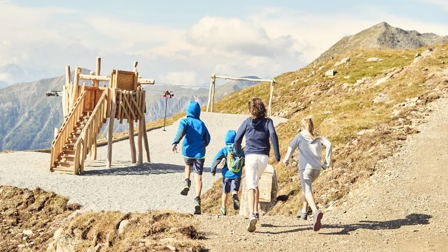
At the Josefskapelle (F001) take the left path and stay straight on the main path, walking through farmland tended by farmers for centuries. At the last flat meadows you reach a distinctive fork (F003). Here the connecting path to the Langenweg (F004) branches off to the left, which also leads to Ladis or to the Falterjöchl and Obladis (a slightly longer route). The right path now descends a little more steeply past the Urschbühel directly to Ladis (L002). For the way back, take the cable car or the post or hiking bus.

Key facts

Start
Josefskapelle
Finish
Ladis
Tour
pushchair-friendly
Difficulty
easy

Nearby

Food and stops
  • Familienidylle WolfseeFiss
  • Reblaus by BonderosaLadis
  • R35 by Patrick LandererLadis
Parking and service
  • Short-stay parking Kulturhaus - FissFiss
  • Short-stay parking Gemeindeamt - FissFiss
  • Parking garage Kulturhaus - FissFiss

From the hotel

  1. From the hotel
  2. On footHotel Gebhard to Bergstation Sonnenbahn Ladis-Fiss550 m, about 7 min
  3. 2
    Mountain liftSonnenbahn Ladis-Fiss downfrom 1462 m to 1223 m, 239 m elevation
  4. The tour
  5. S
    StartJosefskapelle3.15 km, 1:00 h
  6. Z
    FinishLadis
SONNENBAHN LADIS-FISSHotel 1.433 mSonnenbahn Ladis-Fiss 1.223 mFinish 1.432 m0 km123456
Map key

on footMountain lift (dashed)Tour, light = low, dark = high (1191 to 1432 m)

Paths: OpenStreetMap contributors (ODbL), tour map Hotel Gebhard. Elevations and contour lines: EU-DEM 25 m (Copernicus)
01.10

Mountain hiking in Serfaus-Fiss-Ladis

Photo: Serfaus-Fiss-Ladis Marketing GmbH

Easy

Asterhöfe via Greitweg - Neuegg

Loop from Lader Schlossweiher

Length
3.45km
Duration
1:15h
Ascent
110m
Descent
87m

3.45 km, 1:15 h, 110 m up, 87 m down

A varied hike through the idyllic landscape around Fiss to the Asterhöfe farms, with lovely views and easy paths. The flat Greitweg follows the slope to the Kneipp water-treading pool.

Photo: Serfaus-Fiss-Ladis Marketing GmbH

Description

A varied hike through the idyllic landscape around Fiss to the Asterhöfe farms, with lovely views and easy paths.

At the Lader Schlossweiher pond (L009) turn left towards Obladis into the Greit district (L057). At the last houses the flat Greitweg branches off to the right, following the slope to the Kneipp water-treading pool and on to the middle Asterhof (L052) (35 minutes). From here, turn left onto the forest road for an easy return to Ladis, or at the slightly lower junction (L051) continue to the upper Asterhof and steeply up to Neuegg (1½ hours).

Key facts

Start
Lader Schlossweiher
Finish
Lader Schlossweiher
Tour
family-friendly, loop
Difficulty
easy

Nearby

Food and stops
  • WodebadLadis
Parking and service
  • Short-stay parking oberhalb Pavillon - LadisLadis
  • Short-stay parking Infobüro - LadisLadis
  • Short-stay parking neben Café-Pub Castellino - LadisLadis
  • Cable car car park P1-P3 - LadisLadis

From the hotel

  1. From the hotel
  2. On footHotel Gebhard to Bergstation Sonnenbahn Ladis-Fiss550 m, about 7 min
  3. 2
    Mountain liftSonnenbahn Ladis-Fiss downfrom 1462 m to 1223 m, 239 m elevation
  4. The tour
  5. S
    StartLader Schlossweiher3.45 km, 1:15 h
  6. Z
    FinishLader Schlossweiher
SONNENBAHN LADIS-FISSHotel 1.433 mSonnenbahn Ladis-Fiss 1.223 mFinish 1.195 m0 km123456
Map key

on footMountain lift (dashed)Tour, light = low, dark = high (1176 to 1299 m)

Paths: OpenStreetMap contributors (ODbL), tour map Hotel Gebhard. Elevations and contour lines: EU-DEM 25 m (Copernicus)
01.11

Mountain hiking in Serfaus-Fiss-Ladis

Photo: Serfaus-Fiss-Ladis Marketing GmbH

Easy

Truienweg

Altes Elektrizitätswerk (Planq. B2) to Bergstation Komperdellbahn

Length
3.7km
Duration
1:30h
Ascent
509m

3.7 km, 1:30 h, 509 m up

An easy hike on a wide path with a lovely view of the impressive earth pyramids. It starts at the old power station and continues up to Komperdell.

Photo: Serfaus-Fiss-Ladis Marketing GmbH

Description

An easy hike on a wide path with a lovely view of the impressive earth pyramids.

The start is at the old power station (S065), a little steeper uphill, past the wayside cross and the turn-off to the Leiteweg (S068). Follow the Truienweg to the Stockigatter (S071) and continue on the wide track no. 9 up to Komperdell (Kölner Haus).

Key facts

Start
Altes Elektrizitätswerk (Planq. B2)
Finish
Bergstation Komperdellbahn
Difficulty
easy

Nearby

Food and stops
  • Kölner HausSerfaus
  • MurmliwasserSerfaus
  • MurmlikioskSerfaus
Parking and service
  • Car park Ortseinfahrt - SerfausSerfaus

From the hotel

  1. From the hotel
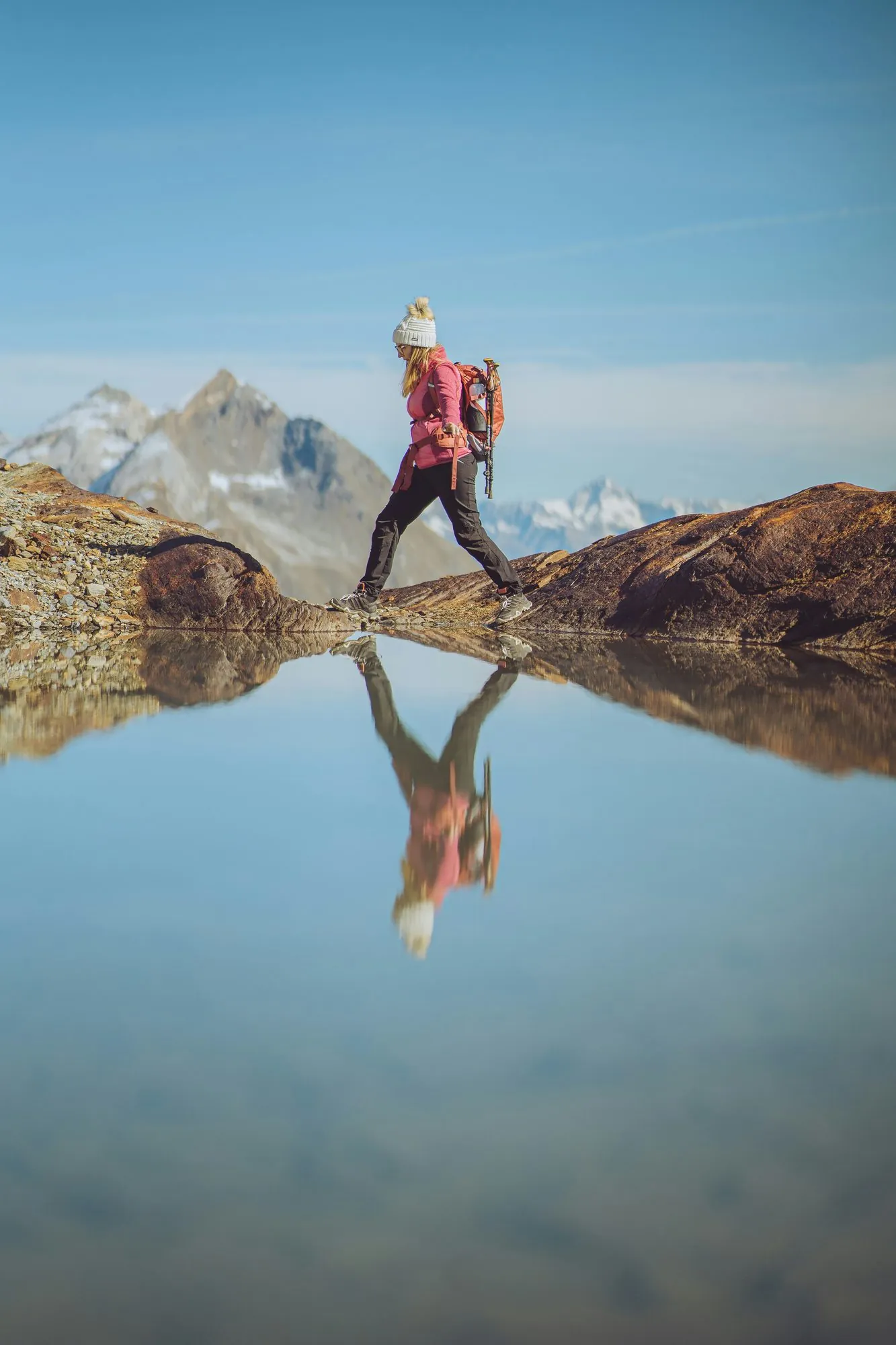
  2. On footHotel Gebhard to Altes Elektrizitätswerk (Planq. B2)4330 m, about 55 min
  3. The tour
  4. S
    StartAltes Elektrizitätswerk (Planq. B2)3.7 km, 1:30 h
  5. Z
    FinishBergstation Komperdellbahn
  6. A
    Mountain liftKomperdellbahn downfrom 1974 m to 1445 m, 529 m elevation
  7. B
    On footTalstation Komperdellbahn to Talstation Sunliner95 m, about 2 min
  8. C
    Mountain liftSunliner upfrom 1439 m to 1828 m, 389 m elevation
  9. D
    On footBergstation Sunliner to Bergstation Waldbahn33 m, about 1 min
  10. E
    Mountain liftWaldbahn downfrom 1827 m to 1411 m, 416 m elevation
  11. F
    On footTalstation Waldbahn to Hotel Gebhard966 m, about 13 min
Hotel 1.433 mFinish 1.975 m0 km12345678
Map key

on footMountain lift (dashed)Tour, light = low, dark = high (1477 to 1975 m)

Paths: OpenStreetMap contributors (ODbL), tour map Hotel Gebhard. Elevations and contour lines: EU-DEM 25 m (Copernicus)
01.12

BifangrundeFlower meadowBifangrunde in SerfausSpring in Serfaus-Fiss-LadisWiese
01 / 05

Photo: Serfaus-Fiss-Ladis Marketing GmbH, Andreas Kirschner

Easy

Bifangrunde

Loop from Apart Rubin (Planq. H4), pushchair-friendly

Length
4.17km
Duration
1:30h
Ascent
194m
Descent
193m

4.17 km, 1:30 h, 194 m up, 193 m down

A varied loop around Serfaus with lovely views, idyllic paths and a wonderful mountain backdrop. After half an hour, benches and loungers with a view of Serfaus await you.

Photo: Serfaus-Fiss-Ladis Marketing GmbH, Andreas Kirschner

Description

A varied loop around Serfaus with lovely views, idyllic paths and a wonderful mountain backdrop.

Starting at the junction next to the Hotel Bär (S026), follow tarmac path 4 past the Hotel Castel, about half an hour uphill to the benches and loungers with a lovely view of Serfaus (S031). Continue westwards on the gravel path, climbing gently past several benches and the reservoir to the junction (S033). Go downhill on the wide track 9 back to Serfaus.

Key facts

Start
Apart Rubin (Planq. H4)
Finish
Apart Rubin (Planq. H4)
Tour
pushchair-friendly, loop
Difficulty
easy

Nearby

Parking and service
  • Car park Ortseinfahrt - SerfausSerfaus

From the hotel

  1. From the hotel
  2. On footHotel Gebhard to Apart Rubin (Planq. H4)2580 m, about 33 min
  3. The tour
  4. S
    StartApart Rubin (Planq. H4)4.17 km, 1:30 h
  5. Z
    FinishApart Rubin (Planq. H4)
Hotel 1.433 mFinish 1.456 m0 km123456
Map key

on footMountain lift (dashed)Tour, light = low, dark = high (1455 to 1655 m)

Paths: OpenStreetMap contributors (ODbL), tour map Hotel Gebhard. Elevations and contour lines: EU-DEM 25 m (Copernicus)
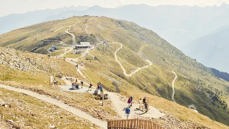
01.13

From the Waalweg to the Leithe WirtLandscape on the WaalwegWaalweg to Leithe WirtLeithe Wirt
01 / 04

Photo: Serfaus-Fiss-Ladis Marketing GmbH

Easy

Waalweg to Leithe Wirt

Bergstation Komperdell to Leithe Wirt

Length
5.09km
Duration
1:30h
Ascent
26m

5.09 km, 1:30 h, 26 m up

A varied hike on the historic Waalweg from Serfaus to the Leithe Wirt inn. The path follows an old irrigation channel, a so-called Waal.

Photo: Serfaus-Fiss-Ladis Marketing GmbH

Key facts

Start
Komperdell top station
Finish
Leithe Wirt
Difficulty
easy

Nearby

Food and stops
  • Panoramarestaurant KomperdellSerfaus
  • Kölner HausSerfaus
  • Restaurant Leithe WirtSerfaus

From the hotel

  1. From the hotel
  2. On footHotel Gebhard to Talstation Waldbahn966 m, about 13 min
  3. 2
    Mountain liftWaldbahn upfrom 1411 m to 1827 m, 416 m elevation
  4. 3
    On footBergstation Waldbahn to Bergstation Sunliner33 m, about 1 min
  5. 4
    Mountain liftSunliner downfrom 1828 m to 1439 m, 389 m elevation
  6. 5
    On footTalstation Sunliner to Talstation Komperdellbahn95 m, about 2 min
  7. 6
    Mountain liftKomperdellbahn upfrom 1445 m to 1974 m, 529 m elevation
  8. The tour
  9. S
    StartKomperdell top station5.09 km, 1:30 h
  10. Z
    FinishLeithe Wirt
WALDBAHNSUNLINERKOMPERDELLBAHNHotel 1.433 mWaldbahn 1.827 mSunliner 1.439 mKomperdellbahn 1.974 mFinish 1.454 m0 km1234567891011
Map key

on footMountain lift (dashed)Tour, light = low, dark = high (1454 to 1979 m)

Paths: OpenStreetMap contributors (ODbL), tour map Hotel Gebhard. Elevations and contour lines: EU-DEM 25 m (Copernicus)
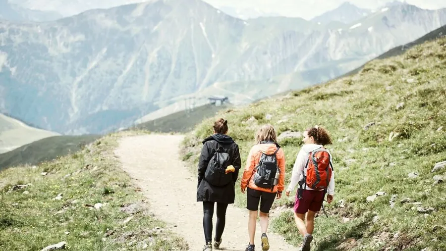
01.14

HütteOut with the familyPanorama Genussweg
01 / 03

Photo: Serfaus-Fiss-Ladis Marketing GmbH, Andreas Kirschner

Easy

Panorama-Genussweg

Bergstation Möseralm to Bergstation Komperdellbahn, pushchair-friendly

Length
5.1km
Duration
1:15h
Ascent
42m
Descent
188m

5.1 km, 1:15 h, 42 m up, 188 m down

A lovely hike through the alpine landscape around Fiss to the idyllically located Möseralm. You can start at the Möseralm or at the Komperdell top station.

Photo: Serfaus-Fiss-Ladis Marketing GmbH, Andreas Kirschner

Description

A lovely hike through the alpine landscape around Fiss to the idyllically located Möseralm. Wonderful mountain views and varied paths make the tour a special experience.

The path can be started from the Möseralm or from the Komperdell top station. Start Möseralm: directly below the cable car station (F113) the path runs flat across alpine pastures and through the rustic Rastwald forest to the Sunliner top station (S055). From there it continues through the Königsleitewald forest and over the Serfaus Jochwiesen meadows to the Gampen (S081), where Komperdell is reached after a short climb. Start Komperdell: from the Komperdell top station (S201) the path leads over the Gampen and flat across the Serfaus Jochwiesen through the Königsleitewald to the Sunliner top station. Then it enters the Rastwald, where the Möseralm is reached after a short climb.

Key facts

Start
Bergstation Möseralm
Finish
Bergstation Komperdellbahn
Tour
pushchair-friendly, family-friendly
Difficulty
easy

Nearby

Food and stops
  • Bergrestaurant MöseralmFiss
Parking and service
  • Short-stay parking Cable car car park P1 - FissFiss
  • Cable car car park P1-P3 - FissFiss

From the hotel

  1. From the hotel
  2. On footHotel Gebhard to Talstation Möseralmbahn562 m, about 8 min
  3. 2
    Mountain liftMöseralmbahn upfrom 1464 m to 1818 m, 354 m elevation
  4. The tour
  5. S
    StartBergstation Möseralm5.1 km, 1:15 h
  6. Z
    FinishBergstation Komperdellbahn
  7. A
    Mountain liftKomperdellbahn downfrom 1974 m to 1445 m, 529 m elevation
  8. B
    On footTalstation Komperdellbahn to Talstation Sunliner95 m, about 2 min
  9. C
    Mountain liftSunliner upfrom 1439 m to 1828 m, 389 m elevation
  10. D
    On footBergstation Sunliner to Bergstation Waldbahn33 m, about 1 min
  11. E
    Mountain liftWaldbahn downfrom 1827 m to 1411 m, 416 m elevation
  12. F
    On footTalstation Waldbahn to Hotel Gebhard966 m, about 13 min
MÖSERALMBAHNHotel 1.433 mMöseralmbahn 1.818 mFinish 1.980 m0 km1234567
Map key

on footMountain lift (dashed)Tour, light = low, dark = high (1786 to 1980 m)

Paths: OpenStreetMap contributors (ODbL), tour map Hotel Gebhard. Elevations and contour lines: EU-DEM 25 m (Copernicus)
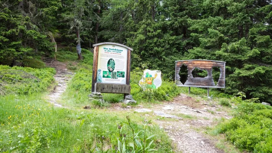
01.15

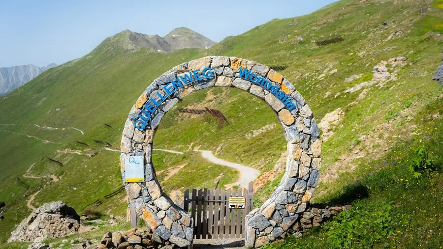
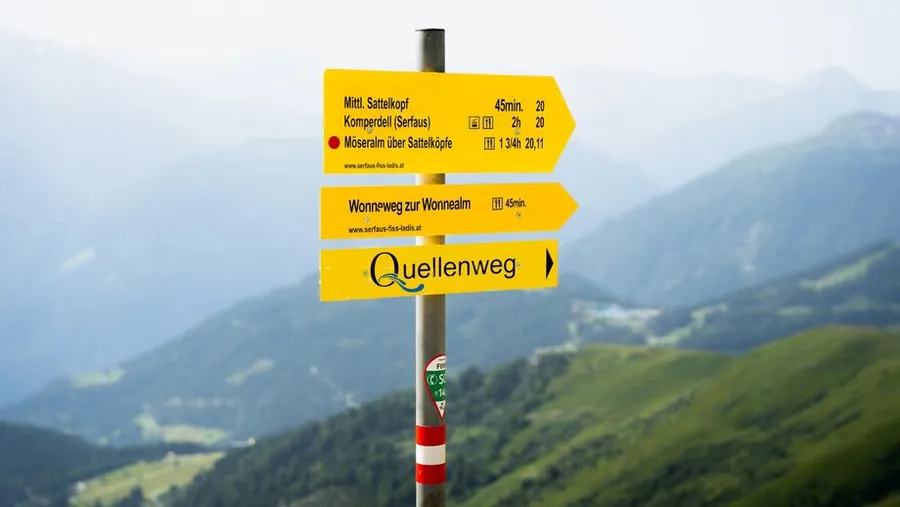
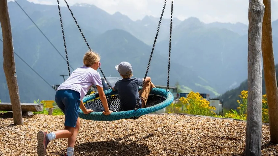
Out with the familyQuellenwegSignpost to the QuellenwegShort breakLeithe Wirt playground
01 / 05

Photo: Serfaus-Fiss-Ladis Marketing GmbH

Easy

Quellenweg

Bergstation Schönjochbahn to Bergstation Komperdell, pushchair-friendly

Length
5.4km
Duration
2:30h
Descent
459m

5.4 km, 2:30 h, 459 m down

A lovely hike through the varied landscape around Fiss with wonderful views and idyllic paths. The themed trail follows the traces of water, from Komperdell or the Schönjoch in both directions.

Photo: Serfaus-Fiss-Ladis Marketing GmbH

Description

A lovely hike through the varied landscape around Fiss with wonderful views and idyllic paths.

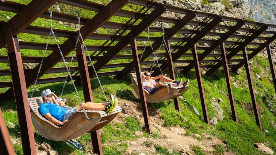
The curious can follow the traces of water in Serfaus-Fiss-Ladis. The themed trail, which you can walk in both directions from the Komperdell top station or the Schönjochbahn top station, offers many stations that tell you exciting chapters about water on the high plateau. At every station you will find information boards and cosy places to rest. A special highlight of the Quellenweg are the wave loungers in the avalanche barriers: in winter they break the force of an avalanche, in summer they invite you to relax. The Quellenweg offers plenty to see, discover and learn, and boredom never sets in.

Key facts

Start
Bergstation Schönjochbahn
Finish
Komperdell top station
Tour
pushchair-friendly, family-friendly
Difficulty
easy

Nearby

Food and stops
  • Panoramarestaurant BergDiamantFiss
  • Kölner HausSerfaus
Parking and service
  • Cable car car park P1-P3 - FissFiss

From the hotel

  1. From the hotel
  2. On footHotel Gebhard to Talstation Schönjochbahn I613 m, about 8 min
  3. 2
    Mountain liftSchönjochbahn I upfrom 1473 m to 1912 m, 439 m elevation
  4. 3
    Mountain liftSchönjochbahn II upfrom 1912 m to 2435 m, 523 m elevation
  5. The tour
  6. S
    StartBergstation Schönjochbahn5.4 km, 2:30 h
  7. Z
    FinishKomperdell top station
  8. A
    Mountain liftKomperdellbahn downfrom 1974 m to 1445 m, 529 m elevation
  9. B
    On footTalstation Komperdellbahn to Talstation Sunliner95 m, about 2 min
  10. C
    Mountain liftSunliner upfrom 1439 m to 1828 m, 389 m elevation
  11. D
    On footBergstation Sunliner to Bergstation Waldbahn33 m, about 1 min
  12. E
    Mountain liftWaldbahn downfrom 1827 m to 1411 m, 416 m elevation
  13. F
    On footTalstation Waldbahn to Hotel Gebhard966 m, about 13 min
SCHÖNJOCHBAHN ISCHÖNJOCHBAHN IIHotel 1.433 mSchönjochbahn I 1.912 mSchönjochbahn II 2.435 mFinish 1.983 m0 km12345678
Map key

on footMountain lift (dashed)Tour, light = low, dark = high (1983 to 2431 m)

Paths: OpenStreetMap contributors (ODbL), tour map Hotel Gebhard. Elevations and contour lines: EU-DEM 25 m (Copernicus)
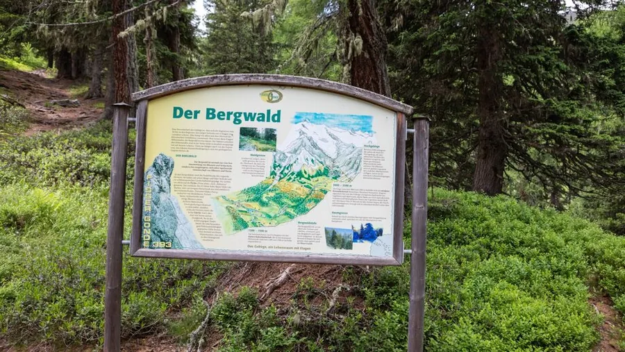
01.16

Mountain hiking in Serfaus-Fiss-Ladis

Photo: Serfaus-Fiss-Ladis Marketing GmbH

Easy

Emmerich-Pale-Weg

Schönjochbahn Bergstation to Schöngampalm, pushchair-friendly

Length
5.55km
Duration
1:45h
Descent
560m

5.55 km, 1:45 h, 560 m down

A wide path with great views along the north side of Fiss and wonderful mountain scenery, ideal for a relaxed tour in nature. It climbs moderately to the rustic Schöngampalm, with benches for a rest along the way.

Photo: Serfaus-Fiss-Ladis Marketing GmbH

Description

A wide path with great views along the north side of Fiss and wonderful mountain scenery, ideal for a relaxed tour in nature.

An easy, moderately steep path to the Schöngampalm (F039). Along the way there are several benches for a rest. The small, rustic and cosy hut on the north side of Fiss serves typical Tyrolean specialities. For children there is a large playground with a petting zoo. You can return comfortably to the Schönjoch with the Almbahn just below (check the operating times!).

Key facts

Start
Schönjochbahn Bergstation
Finish
Schöngampalm
Tour
pushchair-friendly
Difficulty
easy

From the hotel

  1. From the hotel
  2. On footHotel Gebhard to Talstation Schönjochbahn I613 m, about 8 min
  3. 2
    Mountain liftSchönjochbahn I upfrom 1473 m to 1912 m, 439 m elevation
  4. 3
    Mountain liftSchönjochbahn II upfrom 1912 m to 2435 m, 523 m elevation
  5. The tour
  6. S
    StartSchönjochbahn Bergstation5.55 km, 1:45 h
  7. Z
    FinishSchöngampalm
SCHÖNJOCHBAHN ISCHÖNJOCHBAHN IIHotel 1.433 mSchönjochbahn I 1.912 mSchönjochbahn II 2.435 mFinish 1.878 m0 km12345678
Map key

on footMountain lift (dashed)Tour, light = low, dark = high (1878 to 2435 m)

Paths: OpenStreetMap contributors (ODbL), tour map Hotel Gebhard. Elevations and contour lines: EU-DEM 25 m (Copernicus)
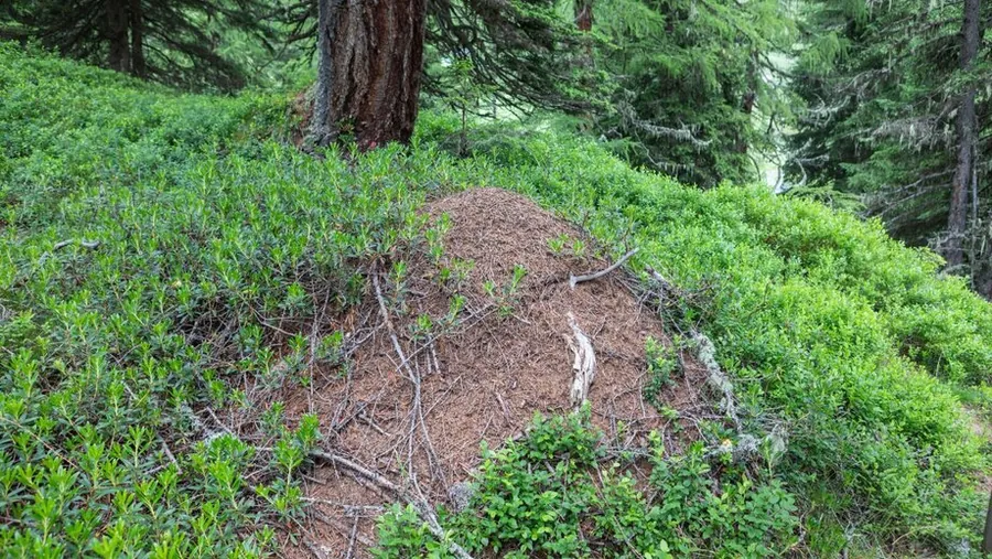
01.17

MythenwegMythenwegMythenwegMythenwegMythenwegWodeturm tower in Ladis
01 / 06

Photo: Serfaus-Fiss-Ladis Marketing GmbH

Easy

Mythenweg

Loop from Lader Schlossweiher

Length
6.35km
Duration
4:30h
Ascent
477m
Descent
438m

6.35 km, 4:30 h, 477 m up, 438 m down

Do you know how the seeds of paradise came to Ladis? In the footsteps of the magician and Wode, the trail leads from the Lader Schlossweiher pond to the Fanggaloch, a tufa grotto.

Photo: Serfaus-Fiss-Ladis Marketing GmbH

Description

Do you know how the seeds of paradise came to Ladis? Walk in the footsteps of the magician and Wode and let the Mythenweg enchant you, a hike full of secrets, legends and magical moments.

We hike from the Lader Schlossweiher pond (L009) via the Wasserwandersteig to the Fanggaloch (tufa grotto) and on to the Paradiesplatz at the Falterjöchl (F006). Go back briefly towards the villa, then take the first turn-off on the left (L017) to the Paradiesblick viewpoint at Schönegg (L020). From here go back and at the first turn-off on the left (L019) continue to the fountain in Obladis. The route continues over the Herrenweg and Wodesteig to the Wodeturm tower (L030) and then along the forest road back to the Wodebad. Return from Neuegg via the Asterhöfe and Greitweg to Ladis, or along the road directly to Ladis.

Key facts

Start
Lader Schlossweiher
Finish
Ladis
Tour
Loop
Difficulty
easy

Nearby

Food and stops
  • Reblaus by BonderosaLadis
  • CastellinoLadis
  • Café ObladisLadis
Parking and service
  • Short-stay parking oberhalb Pavillon - LadisLadis
  • Short-stay parking Infobüro - LadisLadis
  • Short-stay parking neben Café-Pub Castellino - LadisLadis
  • Cable car car park P1-P3 - LadisLadis

From the hotel

  1. From the hotel
  2. On footHotel Gebhard to Bergstation Sonnenbahn Ladis-Fiss550 m, about 7 min
  3. 2
    Mountain liftSonnenbahn Ladis-Fiss downfrom 1462 m to 1223 m, 239 m elevation
  4. The tour
  5. S
    StartLader Schlossweiher6.35 km, 4:30 h
  6. Z
    FinishLadis
SONNENBAHN LADIS-FISSHotel 1.433 mSonnenbahn Ladis-Fiss 1.223 mFinish 1.179 m0 km123456789
Map key

on footMountain lift (dashed)Tour, light = low, dark = high (1179 to 1542 m)

Paths: OpenStreetMap contributors (ODbL), tour map Hotel Gebhard. Elevations and contour lines: EU-DEM 25 m (Copernicus)
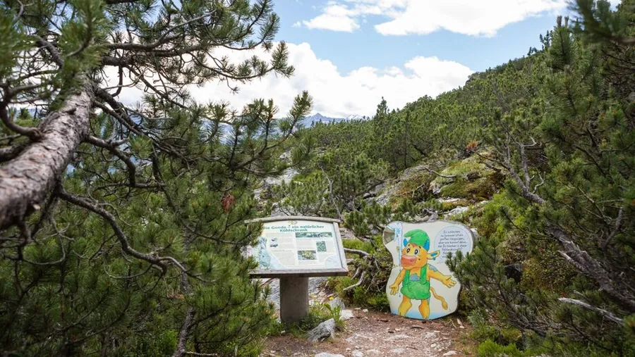
01.18

Mountain hiking in Serfaus-Fiss-Ladis

Photo: Serfaus-Fiss-Ladis Marketing GmbH

Easy

Möseralm to Ladis

Bergstation Möseralm to Ladis, pushchair-friendly

Length
12.72km
Duration
3:30h
Ascent
318m
Descent
934m

12.72 km, 3:30 h, 318 m up, 934 m down

A varied hike from the Möseralm to Ladis through the alpine mountain landscape. Along the way you have lovely views of the Inn valley and the surrounding mountains.

Photo: Serfaus-Fiss-Ladis Marketing GmbH

Description

A varied hike from the Möseralm to Ladis through the alpine mountain landscape. Along the way, lovely views of the Inn valley and the surrounding mountains await you.

To Ladis the path mostly follows agricultural forest and farm tracks. First walk gently uphill to the Steinegg (F061), then follow track no. 9 downhill towards the Kuh Alm Fiss until you reach path no. 10 (F059). This path leads via Gample to the animal nature trail (F056) and to the Frommes-Alp (F055, 1 hour). Continue on path 6 to Rabuschl (F025) and shortly after turn right down (F027) to the Schönegg viewing platform (L020). From there the path continues on no. 33 to the Langenweg (F005) and finally to Ladis (L006).

Key facts

Start
Bergstation Möseralm
Finish
Ladis
Tour
pushchair-friendly
Difficulty
easy

Nearby

Food and stops
  • Bergrestaurant MöseralmFiss
  • Bergrestaurant SteineggFiss
  • Frommes AlpFiss
  • Reblaus by BonderosaLadis
Parking and service
  • Short-stay parking Cable car car park P1 - FissFiss
  • Cable car car park P1-P3 - FissFiss

From the hotel

  1. From the hotel
  2. On footHotel Gebhard to Talstation Möseralmbahn562 m, about 8 min
  3. 2
    Mountain liftMöseralmbahn upfrom 1464 m to 1818 m, 354 m elevation
  4. The tour
  5. S
    StartBergstation Möseralm12.72 km, 3:30 h
  6. Z
    FinishLadis
MÖSERALMBAHNHotel 1.433 mMöseralmbahn 1.818 mFinish 1.196 m0 km1234567891011121314
Map key

on footMountain lift (dashed)Tour, light = low, dark = high (1196 to 1911 m)

Paths: OpenStreetMap contributors (ODbL), tour map Hotel Gebhard. Elevations and contour lines: EU-DEM 25 m (Copernicus)
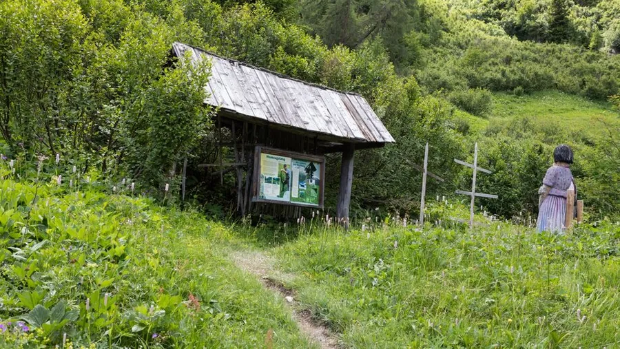
02

Mittelschwere Wanderungen7

02.01

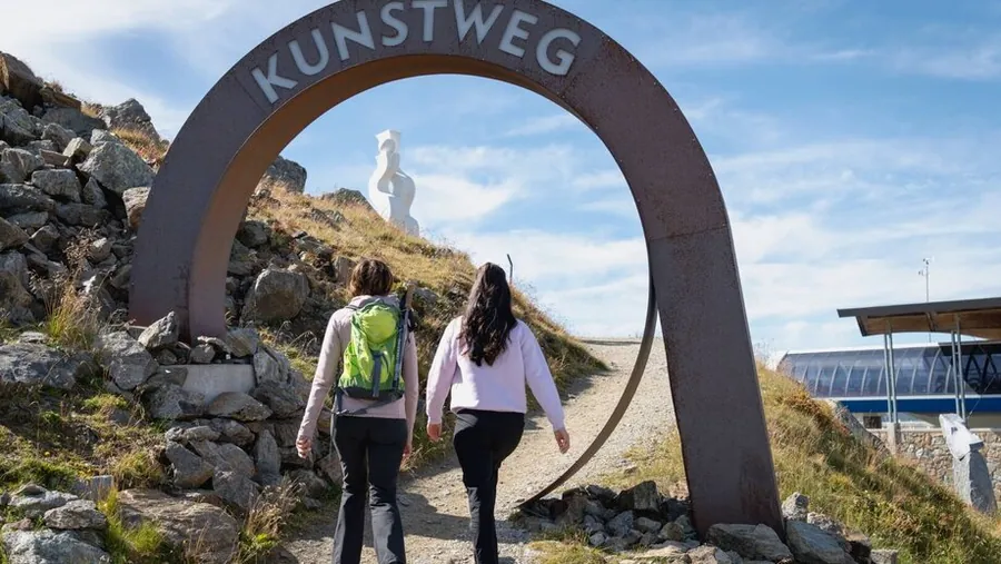
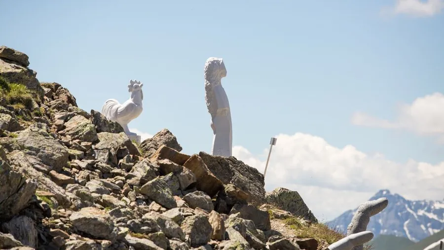
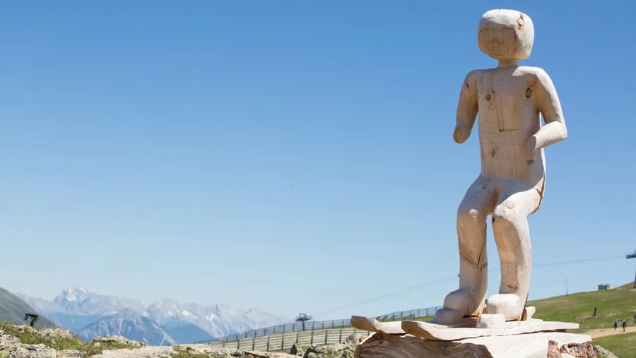
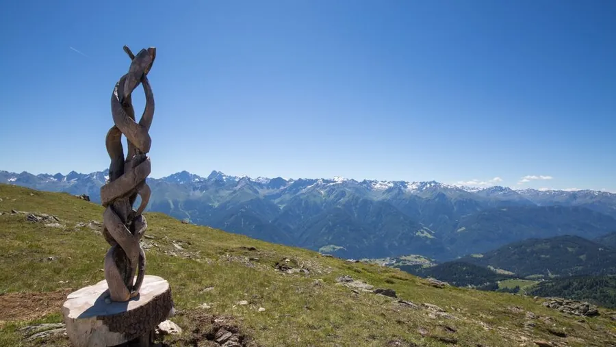
Kunstweg at the SchönjochKunstweg at the Schönjoch in FissSculpture on the KunstwegVarious sculptures on the KunstwegImposing sculptures on the KunstwegKunstweg at the SchönjochKunstweg at the Schönjoch
01 / 07

Photo: Serfaus-Fiss-Ladis Marketing GmbH, Luke Schütz

Moderate

Kunstweg

Loop from Bergstation Schönjochbahn, pushchair-friendly

Length
0.7km
Duration
0:30h
Ascent
44m

0.7 km, 0:30 h, 44 m up

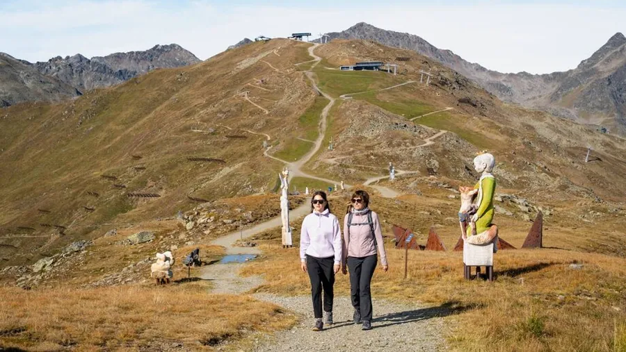
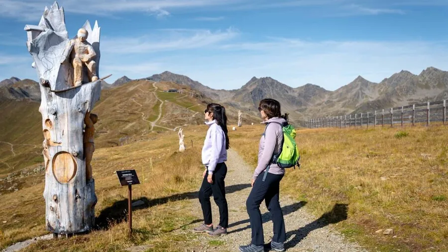
A beautiful themed trail at the Schönjoch with impressive works by renowned artists and wonderful views of the Tyrolean mountains. It leads along the ridge to the top station of the Schöngampbahn.

Photo: Serfaus-Fiss-Ladis Marketing GmbH, Luke Schütz

Description

A beautiful themed trail at the Schönjoch with impressive works by renowned artists and wonderful views of the Tyrolean mountains.

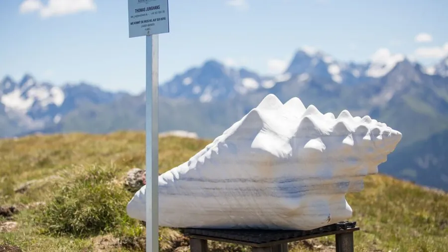
The beautifully laid out Kunstweg leads from the Schönjoch along the ridge to the top station of the Schöngampbahn. Along the way, works of art in materials such as wood, marble, steel, stone and granite are on display, created directly on the Schönjoch by renowned artists as part of the "Kunst am Berg" event. The works are extended or replaced every year and can be purchased.

Key facts

Start
Bergstation Schönjochbahn
Finish
Bergstation Schönjochbahn
Tour
pushchair-friendly, family-friendly, loop
Difficulty
moderate

Nearby

Food and stops
  • Panoramarestaurant BergDiamantFiss
Parking and service
  • Short-stay parking Cable car car park P1 - FissFiss
  • Cable car car park P1-P3 - FissFiss

From the hotel

  1. From the hotel
  2. On footHotel Gebhard to Talstation Schönjochbahn I613 m, about 8 min
  3. 2
    Mountain liftSchönjochbahn I upfrom 1473 m to 1912 m, 439 m elevation
  4. 3
    Mountain liftSchönjochbahn II upfrom 1912 m to 2435 m, 523 m elevation
  5. The tour
  6. S
    StartBergstation Schönjochbahn0.7 km, 0:30 h
  7. Z
    FinishBergstation Schönjochbahn
  8. A
    Mountain liftSchönjochbahn II downfrom 2435 m to 1912 m, 523 m elevation
  9. B
    Mountain liftSchönjochbahn I downfrom 1912 m to 1473 m, 439 m elevation
  10. C
    On footTalstation Schönjochbahn I to Hotel Gebhard613 m, about 8 min
SCHÖNJOCHBAHN ISCHÖNJOCHBAHN IIHotel 1.433 mSchönjochbahn I 1.912 mSchönjochbahn II 2.435 mFinish 2.459 m0 km1234
Map key

on footMountain lift (dashed)Tour, light = low, dark = high (2437 to 2487 m)

Paths: OpenStreetMap contributors (ODbL), tour map Hotel Gebhard. Elevations and contour lines: EU-DEM 25 m (Copernicus)
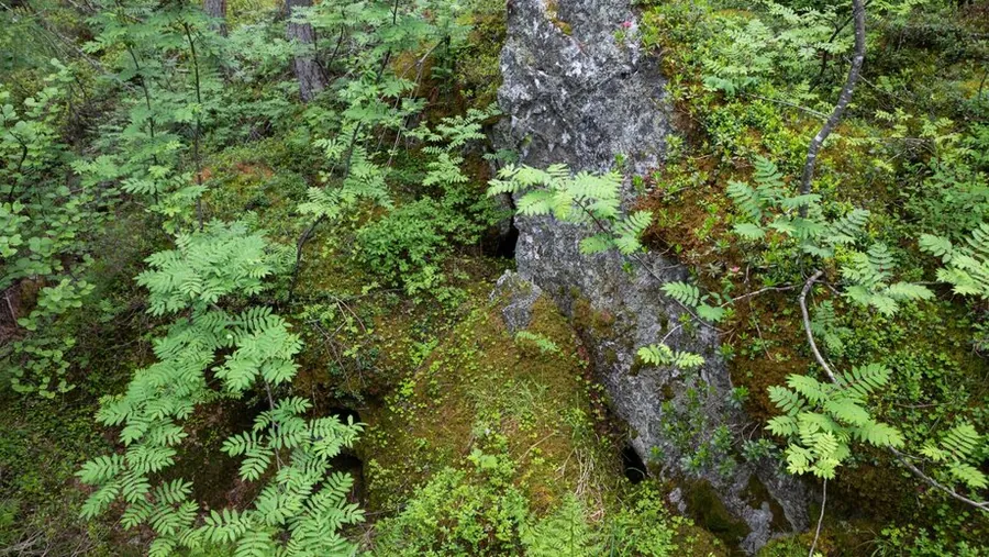
02.02

Mountain hiking in Serfaus-Fiss-Ladis

Photo: Serfaus-Fiss-Ladis Marketing GmbH

Moderate

Argensteig to St. Georgen

Hotel Venier (Planquadrat H6) to St. Georgen

Length
2.05km
Duration
1:00h
Ascent
49m
Descent
356m

2.05 km, 1:00 h, 49 m up, 356 m down

A quiet hike through the idyllic landscape around Serfaus, perfect for enjoying alpine nature away from the main paths. The trail leads through the Argen gorge.

Photo: Serfaus-Fiss-Ladis Marketing GmbH

Description

A quiet hike through the idyllic landscape around Serfaus, perfect for enjoying alpine nature away from the main paths.

The trail starts in front of the Hotel Venier, past Apart Arga / Arga Top. From the signpost (S005) below the old sewage works, the trail leads through the Argen gorge to the road (S174). Follow it downhill to St. Georgen (S175).

Key facts

Start
Hotel Venier (Planquadrat H6)
Finish
St. Georgen
Difficulty
moderate

Nearby

Parking and service
  • Car park Ortseinfahrt - SerfausSerfaus

From the hotel

  1. From the hotel
  2. On foot or by busHotel Gebhard to Hotel Venier (Planquadrat H6)about 2.2 km as the crow flies, please follow the signs
  3. The tour
  4. S
    StartHotel Venier (Planquadrat H6)2.05 km, 1:00 h
  5. Z
    FinishSt. Georgen
Hotel 1.433 mFinish 1.107 m0 km1234
Map key

on footMountain lift (dashed)Tour, light = low, dark = high (1107 to 1407 m)

Paths: OpenStreetMap contributors (ODbL), tour map Hotel Gebhard. Elevations and contour lines: EU-DEM 25 m (Copernicus)
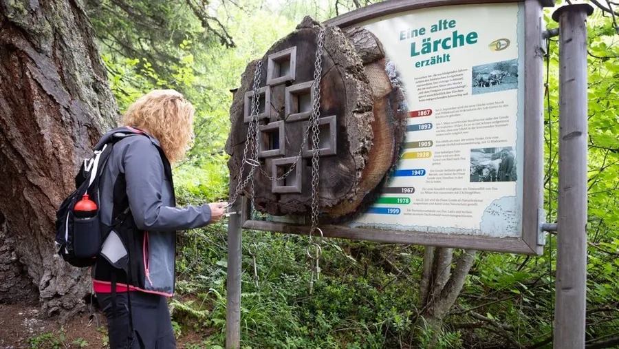
02.03

Path to the ZwölferkopfCairn on the ZwölferkopfView on the mountain tour to the ZwölferkopfZ1 viewing platform at the Zwölferkopf
01 / 04

Photo: Serfaus-Fiss-Ladis Marketing GmbH

Moderate

Zwölferkopf via Panoramasteig

Loop from Bergstation Schönjochbahn

Length
3.22km
Duration
1:30h
Ascent
146m
Descent
137m

3.22 km, 1:30 h, 146 m up, 137 m down

A wonderful loop around the Zwölferkopf with stunning views down into the Urgtal valley and a great mountain panorama. The Panoramasteig crosses the Zwölferbahn and Almbahn lifts and then climbs gently.

Photo: Serfaus-Fiss-Ladis Marketing GmbH

Description

A wonderful loop around the Zwölferkopf with stunning views down into the Urgtal valley and a great mountain panorama.

Behind the cable car station (F087), go a short way down the Plazörweg on the north side (F095), then the Panoramasteig branches off to the left (F096), crosses the Zwölferbahn and Almbahn lifts and climbs gently to a beautiful viewpoint (F099). From here continue along the western slopes to the Zwölferjoch (F101) and return to the starting point (F087) on the southern path.

Key facts

Start
Bergstation Schönjochbahn
Finish
Bergstation Schönjochbahn
Tour
Loop
Difficulty
moderate

Nearby

Food and stops
  • Panoramarestaurant BergDiamantFiss
  • Aussichtsplattform Z1Fiss
Parking and service
  • Short-stay parking Cable car car park P1 - FissFiss
  • Cable car car park P1-P3 - FissFiss

From the hotel

  1. From the hotel
  2. On footHotel Gebhard to Talstation Schönjochbahn I613 m, about 8 min
  3. 2
    Mountain liftSchönjochbahn I upfrom 1473 m to 1912 m, 439 m elevation
  4. 3
    Mountain liftSchönjochbahn II upfrom 1912 m to 2435 m, 523 m elevation
  5. The tour
  6. S
    StartBergstation Schönjochbahn3.22 km, 1:30 h
  7. Z
    FinishBergstation Schönjochbahn
  8. A
    Mountain liftSchönjochbahn II downfrom 2435 m to 1912 m, 523 m elevation
  9. B
    Mountain liftSchönjochbahn I downfrom 1912 m to 1473 m, 439 m elevation
  10. C
    On footTalstation Schönjochbahn I to Hotel Gebhard613 m, about 8 min
SCHÖNJOCHBAHN ISCHÖNJOCHBAHN IIHotel 1.433 mSchönjochbahn I 1.912 mSchönjochbahn II 2.435 mFinish 2.427 m0 km123456
Map key

on footMountain lift (dashed)Tour, light = low, dark = high (2394 to 2533 m)

Paths: OpenStreetMap contributors (ODbL), tour map Hotel Gebhard. Elevations and contour lines: EU-DEM 25 m (Copernicus)
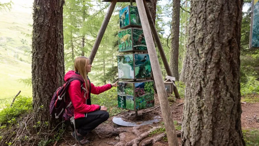
02.04

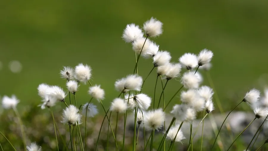
BlumensteigFlowering plants and grassesCotton grass on the Blumensteig
01 / 03

Photo: Serfaus-Fiss-Ladis Marketing GmbH

Moderate

Blumensteig

Loop from Bergstation Komperdellbahn

Length
3.45km
Duration
2:00h
Ascent
222m
Descent
222m

3.45 km, 2:00 h, 222 m up, 222 m down

As if from the paint pot of the great painter Nature. From hawksbeard to deep blue gentian and purple orchids, you will find a great variety in a very small space.

Photo: Serfaus-Fiss-Ladis Marketing GmbH

Description

"As if from the paint pot of the great painter Nature." From richly coloured hawksbeard to deep blue gentian and purple orchids, you will find an impressive variety in a very small space. On a guided walk, participants learn the names and stories of these wonders of nature. For those exploring on their own, signs with the names of the flowers have been put up.

From the Komperdell top station (S201) head north on the wide path to the signpost (S202). Then follow trail 20 (Quellensteig) to the turn-off (S203). From here follow the BW signs. It is a loop: Plojen, towards Plansegg, turning left to "Kearb", Laustal and back to Komperdell.

Key facts

Start
Bergstation Komperdellbahn
Finish
Bergstation Komperdellbahn
Tour
Loop
Difficulty
moderate

Nearby

Food and stops
  • Kölner HausSerfaus
  • Schalber AlmSerfaus
  • Hugo's Cervosa AlmSerfaus
Parking and service
  • Car park Ortseinfahrt - SerfausSerfaus

From the hotel

  1. From the hotel
  2. On footHotel Gebhard to Talstation Waldbahn966 m, about 13 min
  3. 2
    Mountain liftWaldbahn upfrom 1411 m to 1827 m, 416 m elevation
  4. 3
    On footBergstation Waldbahn to Bergstation Sunliner33 m, about 1 min
  5. 4
    Mountain liftSunliner downfrom 1828 m to 1439 m, 389 m elevation
  6. 5
    On footTalstation Sunliner to Talstation Komperdellbahn95 m, about 2 min
  7. 6
    Mountain liftKomperdellbahn upfrom 1445 m to 1974 m, 529 m elevation
  8. The tour
  9. S
    StartBergstation Komperdellbahn3.45 km, 2:00 h
  10. Z
    FinishBergstation Komperdellbahn
  11. A
    Mountain liftKomperdellbahn downfrom 1974 m to 1445 m, 529 m elevation
  12. B
    On footTalstation Komperdellbahn to Talstation Sunliner95 m, about 2 min
  13. C
    Mountain liftSunliner upfrom 1439 m to 1828 m, 389 m elevation
  14. D
    On footBergstation Sunliner to Bergstation Waldbahn33 m, about 1 min
  15. E
    Mountain liftWaldbahn downfrom 1827 m to 1411 m, 416 m elevation
  16. F
    On footTalstation Waldbahn to Hotel Gebhard966 m, about 13 min
WALDBAHNSUNLINERKOMPERDELLBAHNHotel 1.433 mWaldbahn 1.827 mSunliner 1.439 mKomperdellbahn 1.974 mFinish 1.977 m0 km123456789
Map key

on footMountain lift (dashed)Tour, light = low, dark = high (1954 to 2131 m)

Paths: OpenStreetMap contributors (ODbL), tour map Hotel Gebhard. Elevations and contour lines: EU-DEM 25 m (Copernicus)
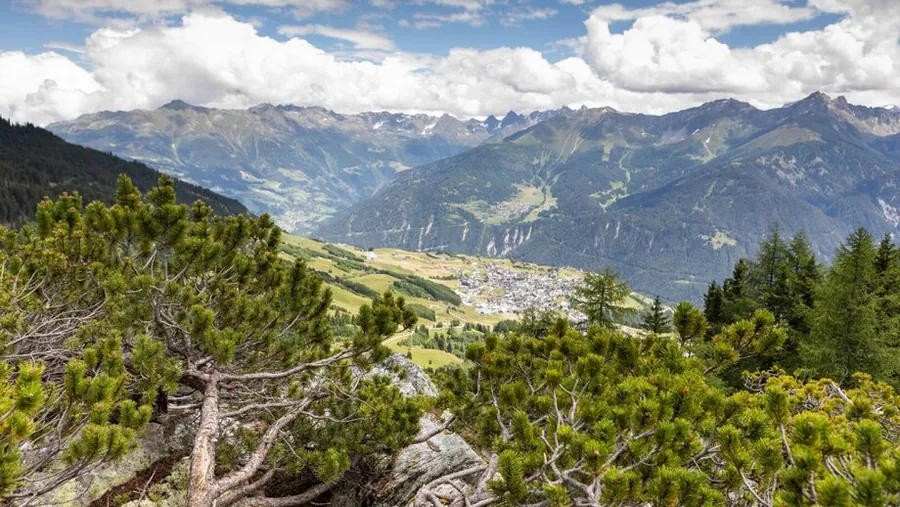
02.05

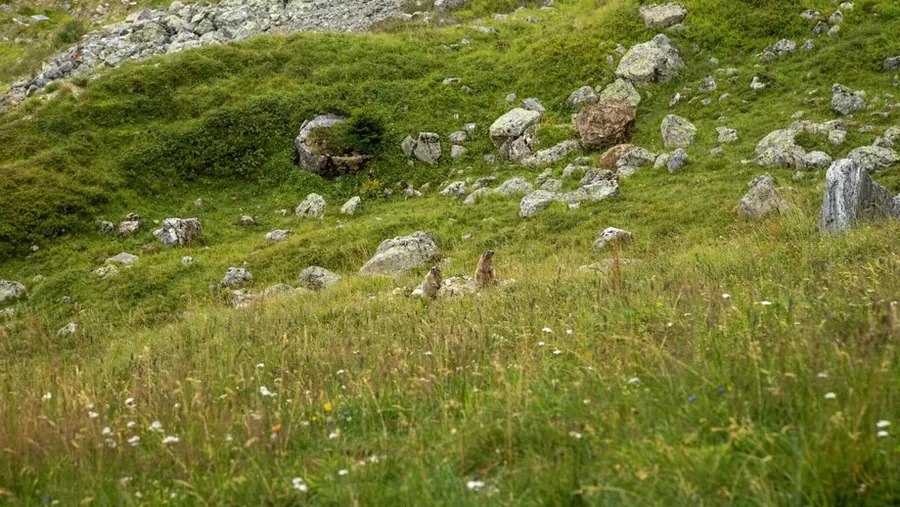
MurmeltiersteigOn the wayHike on the MurmeltiersteigModerate hike on the MurmeltiersteigMarmots on the Murmeltiersteig
01 / 05

Photo: Serfaus-Fiss-Ladis Marketing GmbH

Moderate

Murmeltiersteig

Loop from Bergstation Lazidbahn

Length
6.92km
Duration
3:00h
Ascent
302m
Descent
669m

6.92 km, 3:00 h, 302 m up, 669 m down

On the trail of the marmots, the mountain path leads through the high alpine marmot region to Lake Furgler. Along the way, wide mountain panoramas and glimpses into the world of the furry residents await.

Photo: Serfaus-Fiss-Ladis Marketing GmbH

Description

On the trail of the marmots: the varied mountain path leads through the high alpine marmot region to Lake Furgler, with impressive mountain panoramas and fascinating insights into the world of the furry residents.

From the Lazidbahn top station (S301), first follow the wide track to the Scheid (S217). From the signpost (S218) behind the lift station, the path joins the marmot trail 25a, over the Kitzköpfl to Lake Furgler (S211). From Lake Furgler follow long-distance path 702 (trail 21), cross the Malfrist meadows and continue to Komperdell (Kölner Haus).

Key facts

Start
Bergstation Lazidbahn
Finish
Bergstation Komperdellbahn
Tour
Loop
Difficulty
moderate

Nearby

Food and stops
  • Kölner HausSerfaus
  • Restaurant LassidaSerfaus
Parking and service
  • Car park Ortseinfahrt - SerfausSerfaus

From the hotel

  1. From the hotel
  2. On footHotel Gebhard to Talstation Waldbahn966 m, about 13 min
  3. 2
    Mountain liftWaldbahn upfrom 1411 m to 1827 m, 416 m elevation
  4. 3
    On footBergstation Waldbahn to Bergstation Sunliner33 m, about 1 min
  5. 4
    Mountain liftSunliner downfrom 1828 m to 1439 m, 389 m elevation
  6. 5
    On footTalstation Sunliner to Talstation Komperdellbahn95 m, about 2 min
  7. 6
    Mountain liftKomperdellbahn upfrom 1445 m to 1974 m, 529 m elevation
  8. 7
    On footBergstation Komperdellbahn to Talstation Lazidbahn225 m, about 3 min
  9. 8
    Mountain liftLazidbahn upfrom 1978 m to 2346 m, 368 m elevation
  10. The tour
  11. S
    StartBergstation Lazidbahn6.92 km, 3:00 h
  12. Z
    FinishBergstation Komperdellbahn
  13. A
    Mountain liftKomperdellbahn downfrom 1974 m to 1445 m, 529 m elevation
  14. B
    On footTalstation Komperdellbahn to Talstation Sunliner95 m, about 2 min
  15. C
    Mountain liftSunliner upfrom 1439 m to 1828 m, 389 m elevation
  16. D
    On footBergstation Sunliner to Bergstation Waldbahn33 m, about 1 min
  17. E
    Mountain liftWaldbahn downfrom 1827 m to 1411 m, 416 m elevation
  18. F
    On footTalstation Waldbahn to Hotel Gebhard966 m, about 13 min
WALDBAHNSUNLINERKOMPERDELLBAHNLAZIDBAHNHotel 1.433 mWaldbahn 1.827 mSunliner 1.439 mKomperdellbahn 1.974 mLazidbahn 2.346 mFinish 1.972 m0 km1234567891011121314
Map key

on footMountain lift (dashed)Tour, light = low, dark = high (1972 to 2471 m)

Paths: OpenStreetMap contributors (ODbL), tour map Hotel Gebhard. Elevations and contour lines: EU-DEM 25 m (Copernicus)
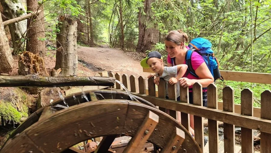
02.06

Mountain hiking in Serfaus-Fiss-Ladis

Photo: Serfaus-Fiss-Ladis Marketing GmbH

Moderate

Ascherhütte via Spinnscharte

Schönjochbahn Bergstation to Ascherhütte

Length
8.52km
Duration
4:30h
Ascent
583m
Descent
768m

8.52 km, 4:30 h, 583 m up, 768 m down

A demanding mountain tour over the Spinnscharte to the Ascherhütte with impressive alpine scenery and wonderful panoramic views. From the upper Spinnsee lake you climb over scree to the Spinnscharte at 2,681 metres.

Photo: Serfaus-Fiss-Ladis Marketing GmbH

Description

A demanding mountain tour over the Spinnscharte to the Ascherhütte with impressive alpine scenery and wonderful panoramic views.

You reach the upper Spinnsee lake (F106) as described for path 16; from the lake turn left and climb over scree to the Spinnscharte (F106a) at 2,681 m. Beyond it, descend gently onto a ridge and down it a little more steeply to the valley floor and the hut. Return via the Glockscharte (S269) and the Glockhäuser (S263/261) or via the Medrigjoch and Furglerjoch (S212) to Komperdell (S103), walking time 3 to 4 h. Shorter is the descent to See in the Paznaun valley (cable car): 1 hour to the cable car, 2½ hours to the valley. For multi-day hut tours, the crossing on path 713 over the Masnerjoch at 2,685 m (S239) to the Hexenseehütte (S233) is recommended.

Key facts

Start
Schönjochbahn Bergstation
Finish
Ascherhütte
Difficulty
moderate

Nearby

Food and stops
  • Panoramarestaurant BergDiamantFiss
Parking and service
  • Short-stay parking Cable car car park P1 - FissFiss

From the hotel

  1. From the hotel
  2. On footHotel Gebhard to Talstation Schönjochbahn I613 m, about 8 min
  3. 2
    Mountain liftSchönjochbahn I upfrom 1473 m to 1912 m, 439 m elevation
  4. 3
    Mountain liftSchönjochbahn II upfrom 1912 m to 2435 m, 523 m elevation
  5. The tour
  6. S
    StartSchönjochbahn Bergstation8.52 km, 4:30 h
  7. Z
    FinishAscherhütte
SCHÖNJOCHBAHN ISCHÖNJOCHBAHN IIHotel 1.433 mSchönjochbahn I 1.912 mSchönjochbahn II 2.435 mFinish 2.253 m0 km1234567891011
Map key

on footMountain lift (dashed)Tour, light = low, dark = high (2232 to 2678 m)

Paths: OpenStreetMap contributors (ODbL), tour map Hotel Gebhard. Elevations and contour lines: EU-DEM 25 m (Copernicus)
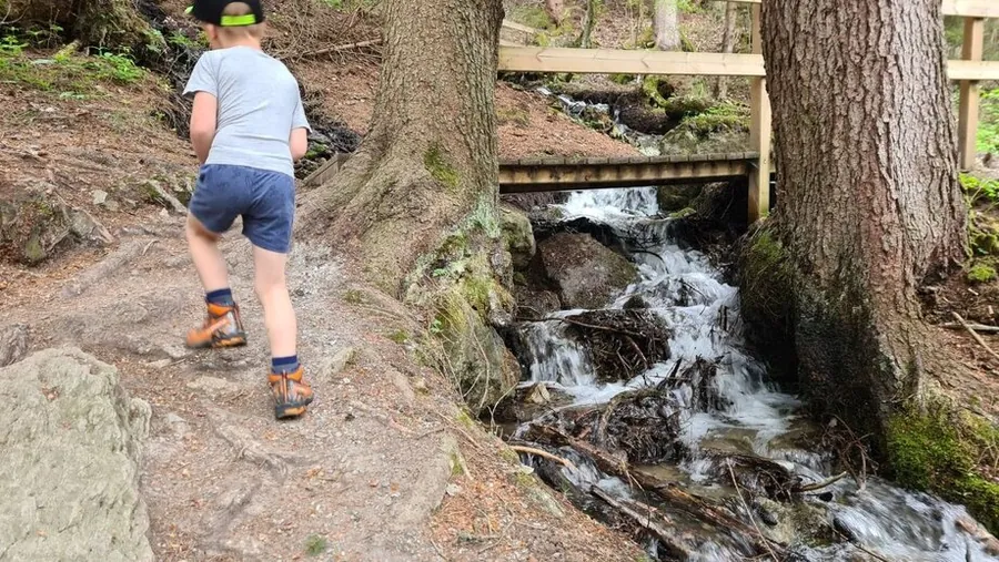
02.07

Alpenrosensteig in FissFrommesseeAlpenrosensteig from the Fisser JochAlpenrosensteig
01 / 04

Photo: Serfaus-Fiss-Ladis Marketing GmbH

Moderate

Alpenrosensteig

Fisser Joch to Fiss

Length
11.23km
Duration
5:00h
Ascent
181m
Descent
1.180m

11.23 km, 5:00 h, 181 m up, 1,180 m down

Flowering alpine roses, fragrant Swiss pines and wonderful views of the Inn valley: the Alpenrosensteig is a particularly charming hike through alpine nature. It is often combined with the Naggalunsteig from the Fisser Joch to Frommes.

Photo: Serfaus-Fiss-Ladis Marketing GmbH

Description

Flowering alpine roses, fragrant Swiss pines and wonderful views of the Inn valley: the Alpenrosensteig is a particularly charming hike through alpine nature.

The Alpenrosensteig is often walked from the Fisser Joch (F087) in combination with the Naggalunsteig as a connection to Frommes (walking time Fisser Joch, Frommes to path no. 5: 2 hours). On the Naggalunsteig no. 25 (F044) it takes 1 hour down to the Waldkrone, where you meet the Alpenrosensteig (F043). Turn right here and continue on the flat to the Naggalunboden, then climb again to Frommes (F073). Descend to Fiss on path no. 5 as described (total walking time to Fiss 5 hours).

Key facts

Start
Fisser Joch
Finish
Fiss
Difficulty
moderate

Nearby

Food and stops
  • Panoramarestaurant BergDiamantFiss
  • Frommes AlpFiss
Parking and service
  • Short-stay parking Cable car car park P1 - FissFiss
  • Cable car car park P1-P3 - FissFiss

From the hotel

  1. From the hotel
  2. On footHotel Gebhard to Talstation Schönjochbahn I613 m, about 8 min
  3. 2
    Mountain liftSchönjochbahn I upfrom 1473 m to 1912 m, 439 m elevation
  4. 3
    Mountain liftSchönjochbahn II upfrom 1912 m to 2435 m, 523 m elevation
  5. The tour
  6. S
    StartFisser Joch11.23 km, 5:00 h
  7. Z
    FinishFiss
SCHÖNJOCHBAHN ISCHÖNJOCHBAHN IIHotel 1.433 mSchönjochbahn I 1.912 mSchönjochbahn II 2.435 mFinish 1.430 m0 km1234567891011121314
Map key

on footMountain lift (dashed)Tour, light = low, dark = high (1430 to 2434 m)

Paths: OpenStreetMap contributors (ODbL), tour map Hotel Gebhard. Elevations and contour lines: EU-DEM 25 m (Copernicus)
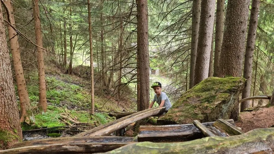
03

Schwere Wanderungen3

03.01

Mountain hike in summer

Photo: Serfaus-Fiss-Ladis Marketing GmbH

Difficult

Ascherhütte via Urgjoch

Bergstation Komperdellbahn to Ascherhütte

Length
7.01km
Duration
5:00h
Ascent
833m
Descent
552m

7.01 km, 5:00 h, 833 m up, 552 m down

A demanding mountain tour over the Urgjoch to the Ascherhütte with impressive summit views and unspoilt alpine scenery. It starts at the Komperdell top station, first on long-distance path 702.

Photo: Serfaus-Fiss-Ladis Marketing GmbH

Description

A demanding mountain tour over the Urgjoch to the Ascherhütte with impressive summit views and unspoilt alpine scenery.

From the Komperdell top station (S201), first follow path 21 (long-distance path 702) to the turn-off (S208). Climb on trail 22 to the lower Glockhäuser (small lake, S261), as the large hollow is known locally. From the hollow, zigzag steeply up to the Urgjoch (2,759 m, S271). From the Urgjoch head north-west over snowfields, dangerous even in summer, to the Kübelgrubenscharte (S273), down into the Kübelgrubengrund (S276) and on to the Ascherhütte. At the signpost (S276) you can climb the Rotpleiskopf (2,936 m) in one hour.

Key facts

Start
Bergstation Komperdellbahn
Finish
Ascherhütte
Difficulty
difficult

Nearby

Food and stops
  • Kölner HausSerfaus
Parking and service
  • Car park Ortseinfahrt - SerfausSerfaus

From the hotel

  1. From the hotel
  2. On footHotel Gebhard to Talstation Waldbahn966 m, about 13 min
  3. 2
    Mountain liftWaldbahn upfrom 1411 m to 1827 m, 416 m elevation
  4. 3
    On footBergstation Waldbahn to Bergstation Sunliner33 m, about 1 min
  5. 4
    Mountain liftSunliner downfrom 1828 m to 1439 m, 389 m elevation
  6. 5
    On footTalstation Sunliner to Talstation Komperdellbahn95 m, about 2 min
  7. 6
    Mountain liftKomperdellbahn upfrom 1445 m to 1974 m, 529 m elevation
  8. The tour
  9. S
    StartBergstation Komperdellbahn7.01 km, 5:00 h
  10. Z
    FinishAscherhütte
WALDBAHNSUNLINERKOMPERDELLBAHNHotel 1.433 mWaldbahn 1.827 mSunliner 1.439 mKomperdellbahn 1.974 mFinish 2.263 m0 km12345678910111213
Map key

on footMountain lift (dashed)Tour, light = low, dark = high (1980 to 2803 m)

Paths: OpenStreetMap contributors (ODbL), tour map Hotel Gebhard. Elevations and contour lines: EU-DEM 25 m (Copernicus)
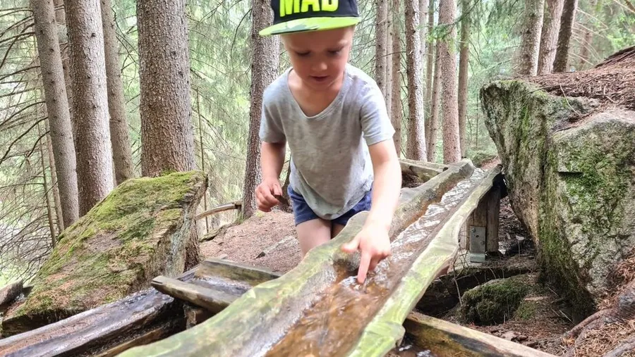
03.02

Blankasee

Photo: Serfaus-Fiss-Ladis Marketing GmbH

Difficult

Ascherhütte via Blankasee

Bergstation Lazidbahn to Ascherhütte

Length
7.74km
Duration
5:00h
Ascent
515m
Descent
590m

7.74 km, 5:00 h, 515 m up, 590 m down

A demanding mountain tour past impressive mountain lakes and alpine paths to the Ascherhütte, an experience for experienced hikers. From the Lazidbahn the route follows the marmot trail to Lake Furgler.

Photo: Serfaus-Fiss-Ladis Marketing GmbH

Description

A demanding mountain tour past impressive mountain lakes and alpine paths to the Ascherhütte, an experience for experienced hikers.

From the Lazidbahn top station (S301) follow the wide track to the Scheid (S217). From the signpost (S218) behind the lift station take the marmot trail 25a over the Kitzköpfl to Lake Furgler (S211). Shortly after Lake Furgler (S209) branch off north-west over the Kanzel (trail 24) to the upper Glockhäuser (S263) and past the Blanka lakes to the Glockscharte (S269). From here descend northwards, partly over snowfields, to the Ascherhütte.

Key facts

Start
Bergstation Lazidbahn
Finish
Ascherhütte
Difficulty
difficult

Nearby

Food and stops
  • Kölner HausSerfaus
  • Restaurant LassidaSerfaus
Parking and service
  • Car park Ortseinfahrt - SerfausSerfaus

From the hotel

  1. From the hotel
  2. On footHotel Gebhard to Talstation Waldbahn966 m, about 13 min
  3. 2
    Mountain liftWaldbahn upfrom 1411 m to 1827 m, 416 m elevation
  4. 3
    On footBergstation Waldbahn to Bergstation Sunliner33 m, about 1 min
  5. 4
    Mountain liftSunliner downfrom 1828 m to 1439 m, 389 m elevation
  6. 5
    On footTalstation Sunliner to Talstation Komperdellbahn95 m, about 2 min
  7. 6
    Mountain liftKomperdellbahn upfrom 1445 m to 1974 m, 529 m elevation
  8. 7
    On footBergstation Komperdellbahn to Talstation Lazidbahn225 m, about 3 min
  9. 8
    Mountain liftLazidbahn upfrom 1978 m to 2346 m, 368 m elevation
  10. The tour
  11. S
    StartBergstation Lazidbahn7.74 km, 5:00 h
  12. Z
    FinishAscherhütte
WALDBAHNSUNLINERKOMPERDELLBAHNLAZIDBAHNHotel 1.433 mWaldbahn 1.827 mSunliner 1.439 mKomperdellbahn 1.974 mLazidbahn 2.346 mFinish 2.244 m0 km123456789101112131415
Map key

on footMountain lift (dashed)Tour, light = low, dark = high (2244 to 2774 m)

Paths: OpenStreetMap contributors (ODbL), tour map Hotel Gebhard. Elevations and contour lines: EU-DEM 25 m (Copernicus)
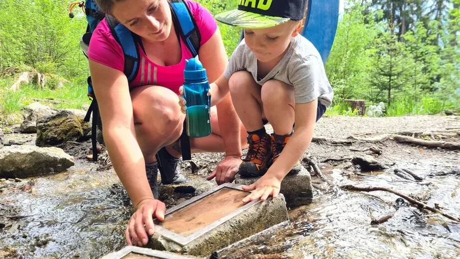
03.03

Mountain hiking in Serfaus-Fiss-Ladis

Photo: Serfaus-Fiss-Ladis Marketing GmbH

Difficult

Ascherhütte via Furglerjoch

Bergstation Komperdellbahn to Ascherhütte

Length
8.02km
Duration
5:00h
Ascent
806m
Descent
535m

8.02 km, 5:00 h, 806 m up, 535 m down

A demanding high-alpine tour over the Furglerjoch to the Ascherhütte, with impressive summit and panoramic views. From the Komperdell top station it takes about three hours on path 21 to the Furglerjoch.

Photo: Serfaus-Fiss-Ladis Marketing GmbH

Description

A demanding high-alpine tour over the Furglerjoch to the Ascherhütte, with impressive summit and panoramic views.

From the Komperdell top station (S201) follow the main hiking route 702 (path 21) to Lake Furgler (S211) and on to the Furglerjoch (3 hours, S212). From here descend on the Koblenzerweg, first into the Kalten-Bach valley and then north into the rock face of the Blankakopf-Medrig ridge (wire rope protection). Over the Medrigjoch (2,570 m) zigzag down into the Kübelgrubengrund to the Ascherhütte (2 hours). Return 2 hours to the Furglerjoch or 4 hours to Komperdell (Kölner Haus).

Key facts

Start
Bergstation Komperdellbahn
Finish
Ascherhütte
Difficulty
difficult

Nearby

Food and stops
  • Kölner HausSerfaus
Parking and service
  • Car park Ortseinfahrt - SerfausSerfaus

From the hotel

  1. From the hotel
  2. On footHotel Gebhard to Talstation Waldbahn966 m, about 13 min
  3. 2
    Mountain liftWaldbahn upfrom 1411 m to 1827 m, 416 m elevation
  4. 3
    On footBergstation Waldbahn to Bergstation Sunliner33 m, about 1 min
  5. 4
    Mountain liftSunliner downfrom 1828 m to 1439 m, 389 m elevation
  6. 5
    On footTalstation Sunliner to Talstation Komperdellbahn95 m, about 2 min
  7. 6
    Mountain liftKomperdellbahn upfrom 1445 m to 1974 m, 529 m elevation
  8. The tour
  9. S
    StartBergstation Komperdellbahn8.02 km, 5:00 h
  10. Z
    FinishAscherhütte
WALDBAHNSUNLINERKOMPERDELLBAHNHotel 1.433 mWaldbahn 1.827 mSunliner 1.439 mKomperdellbahn 1.974 mFinish 2.244 m0 km1234567891011121314
Map key

on footMountain lift (dashed)Tour, light = low, dark = high (1980 to 2751 m)

Paths: OpenStreetMap contributors (ODbL), tour map Hotel Gebhard. Elevations and contour lines: EU-DEM 25 m (Copernicus)
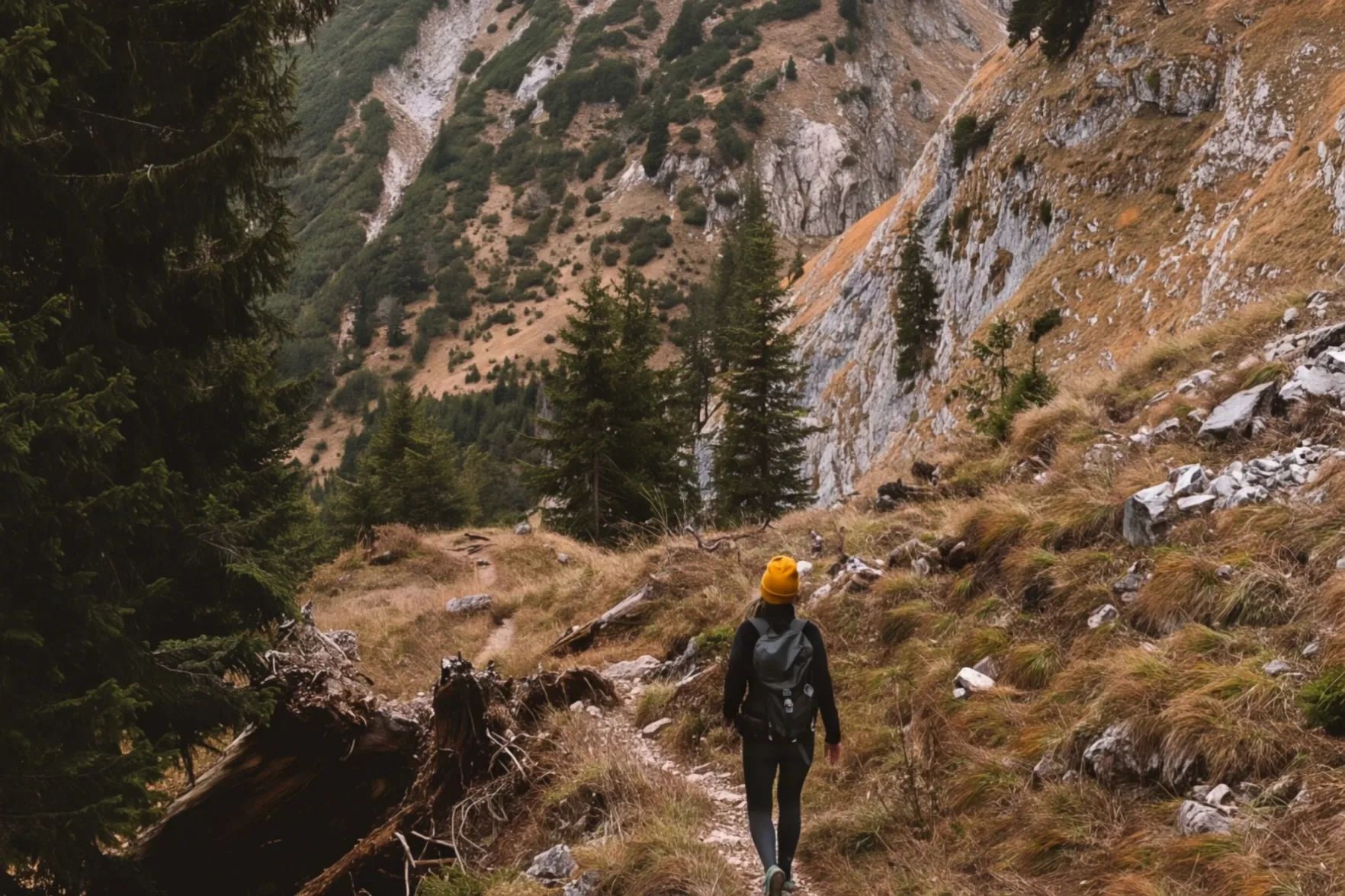
Hiker with a yellow cap on a path through a steep mountain forest, rock faces behind

04 — Routes from our doorstep

Nine routes, one sheet.

All nine start at our doorstep, from a gentle stroll to a three-thousand-metre peak. Click on a route on the map to see the way from the house, including cable cars, the elevation profile and step-by-step directions.

Routes from our doorstep

Terrain: AWS Terrain Tiles. Cable cars, paths, places: OpenStreetMap (ODbL).

All nine routes start at our doorstep. Tap a route to see the way from the house on the map, including cable cars, the elevation profile and step-by-step directions. The three summit routes require sure-footedness and settled weather. Their ascent times are provided by the tourist board (tirol.at). Terrain: AWS Terrain Tiles. Paths, places and cable cars: OpenStreetMap (ODbL). Elevations calculated from the terrain model. The map, trail status information and regional content belong to the Serfaus-Fiss-Ladis tourist board.
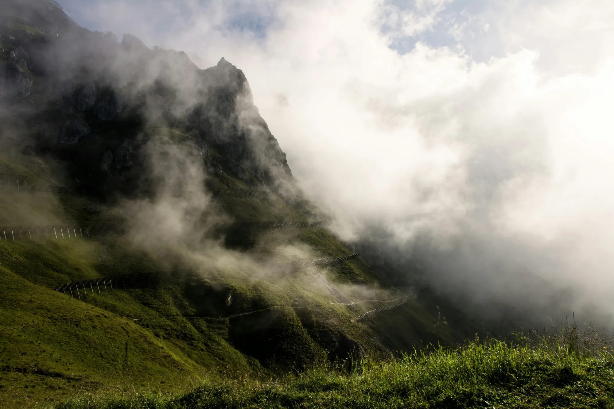
Clouds drifting around a steep green mountainside with avalanche barriers

05 — Location

Around 2.000 hours of sunshine a year.

The plateau faces south and sits around 600 metres above the Upper Inn Valley. The three villages are at an altitude of about 1.400 metres.

The region records over 2.000 hours of sunshine a year. You can feel it in June just as much as in October.

PLATEAU
around 600 m above the Inn Valley
VILLAGES
at around 1.400 metres
SUNSHINE
over 2.000 hours a year
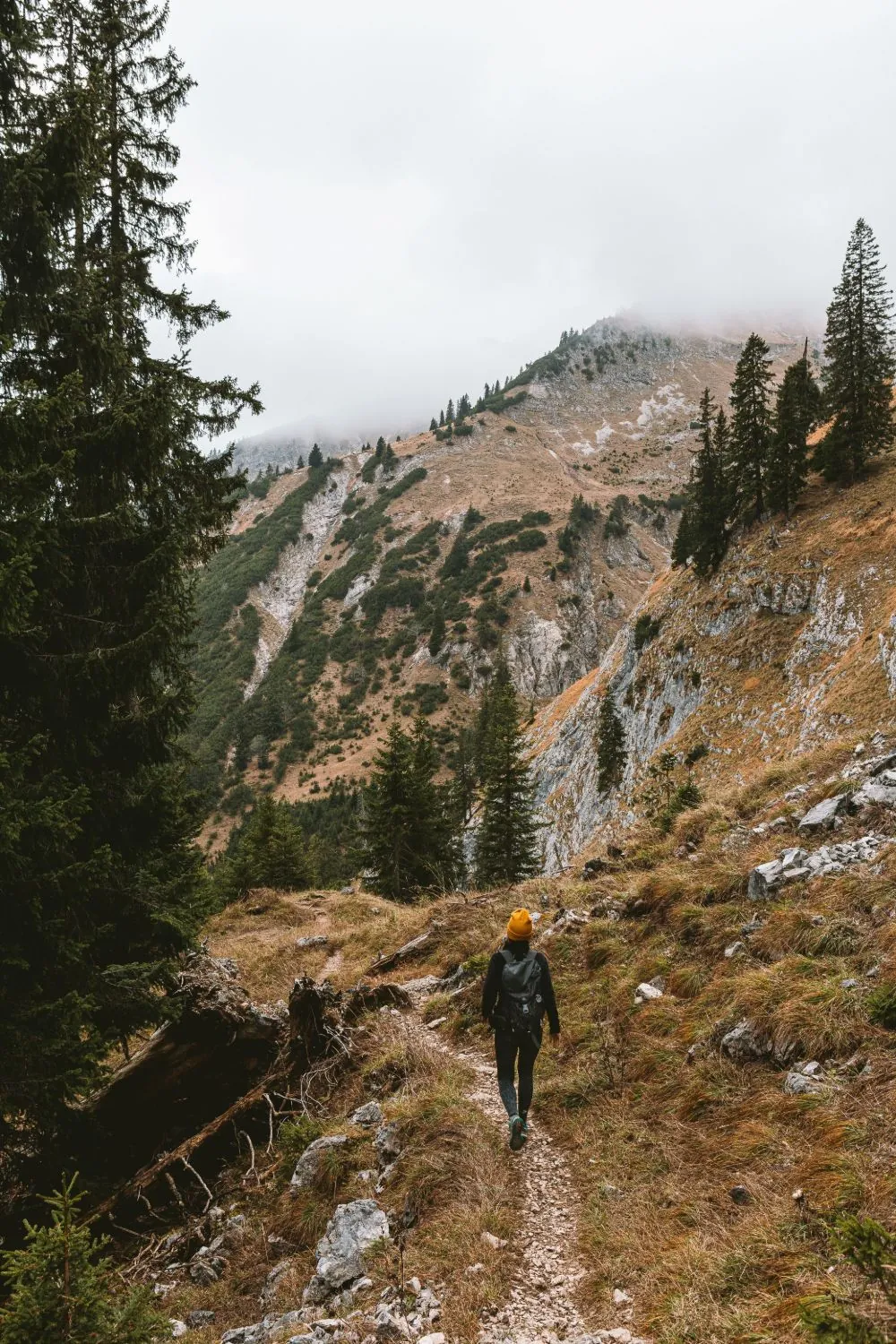
Woman hiking in a yellow hat on a narrow trail, with mist-covered mountainsides behind
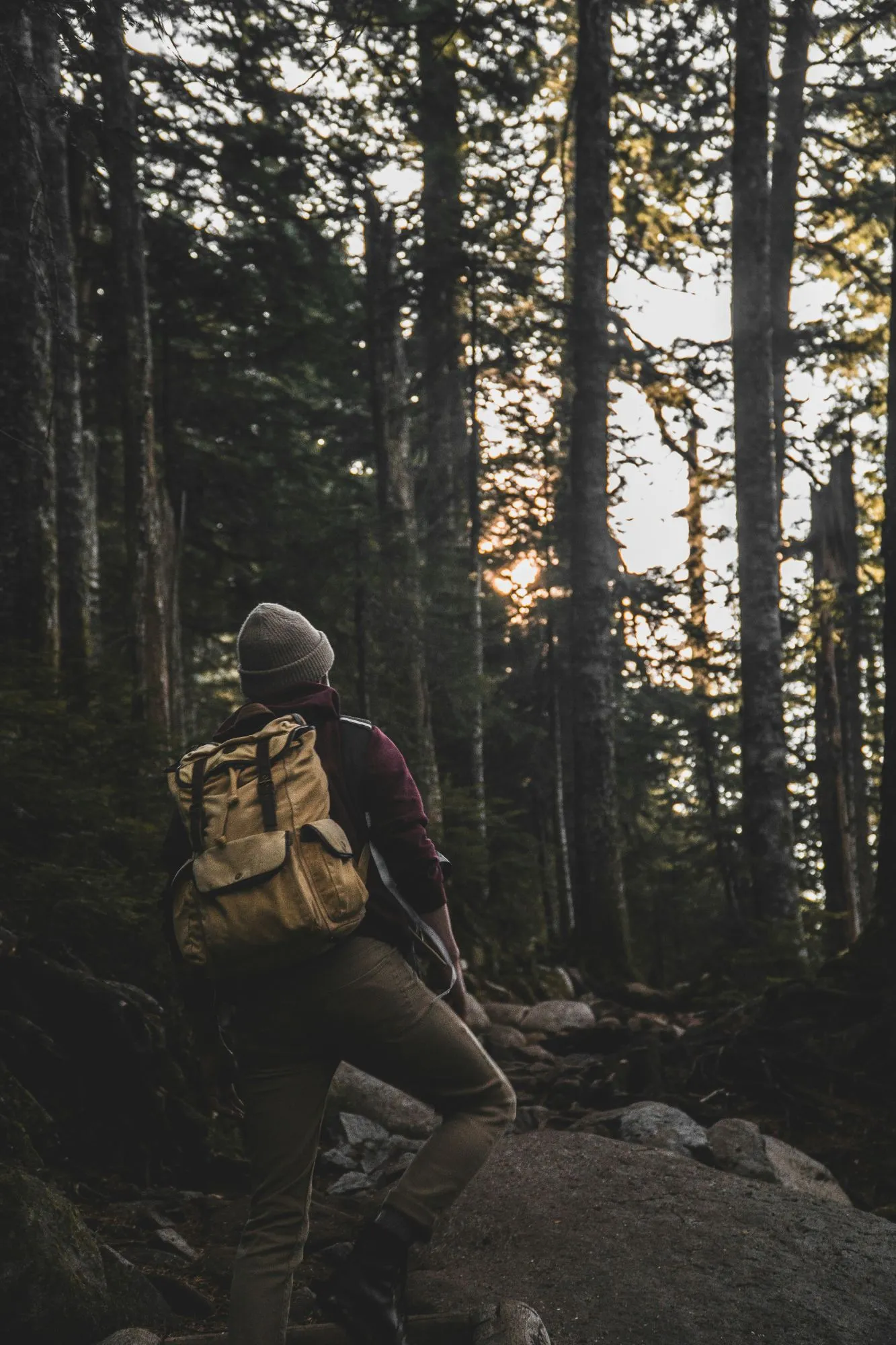
Hiker wearing a beanie and a yellow backpack looking towards the evening sun in a dark spruce forest
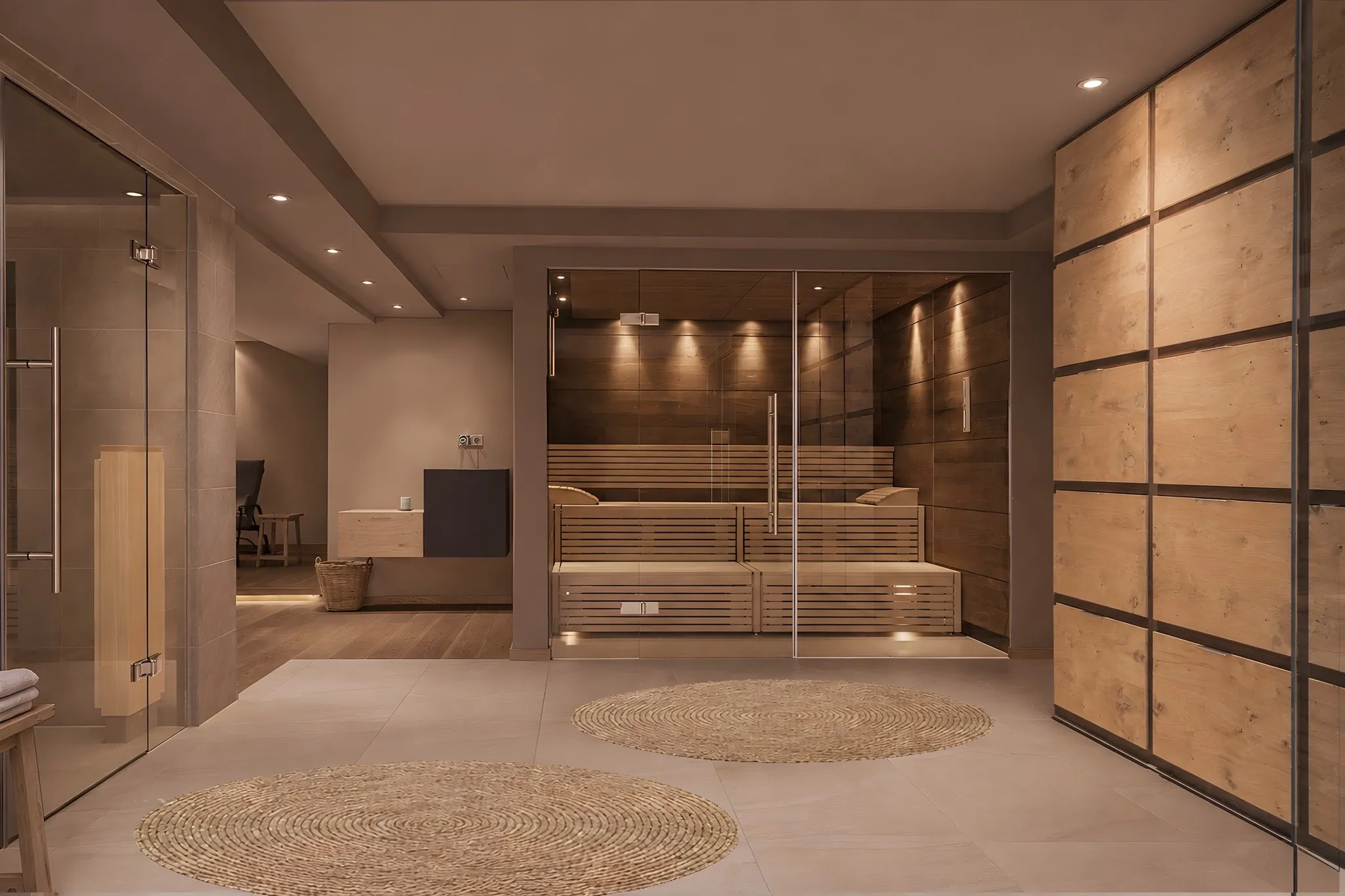
Bio sauna behind glass in the spa at Hotel Gebhard in Fiss, with warm lighting and wooden benches

Wellness

Back at the hotel.

The Finnish sauna, bio-herbal sauna, steam room and infrared cabin are open to you daily from 4 pm to 8 pm at no extra charge. A bathrobe and sauna towel are ready in your room.

WellnessThe house
Two slices of toast with cream cheese, kumquats, honeycomb and pistachios on a plate, with a honey dipper beside it

Food

A breakfast to keep you going all the way to the summit.

From 8 am to 10 am, with local eggs, homemade speck and homemade jam. If you want to head out earlier, let us know the evening before.

BreakfastFood
Water being poured from a glass bottle into a glass with ice and a flower

Bar

The bar for a bite between meals.

The snack bar in the FREIRAUM is open until 9 pm for you to prepare your own snacks when you're hungry after a day out. Crockery, glasses, cutlery and chopping boards are ready for you. We'll do the washing-up. Drinks from the bar are not included in the room rate.

The barFREIRAUM
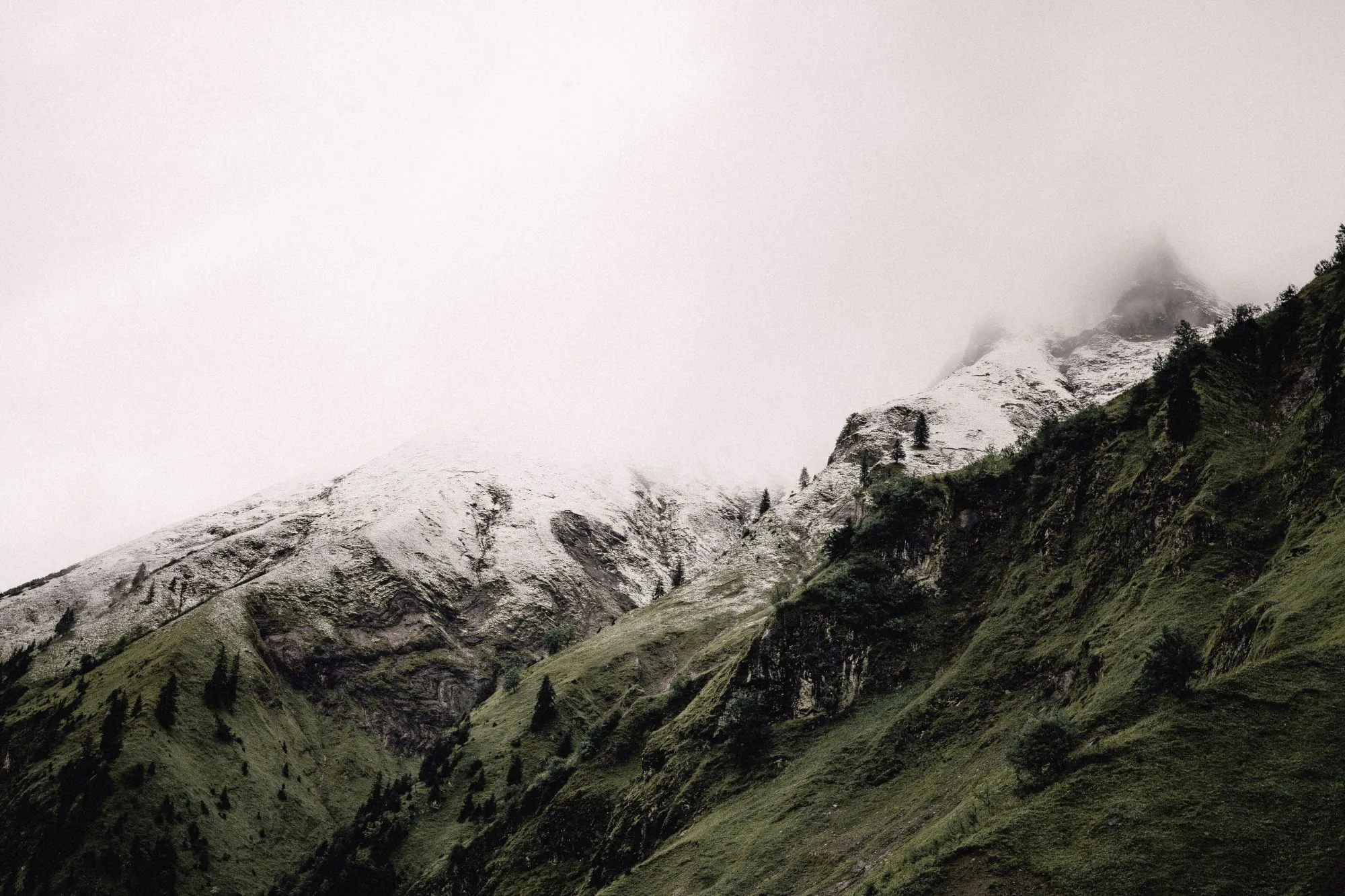
Snow-covered mountain ridge in the mist above green slopes
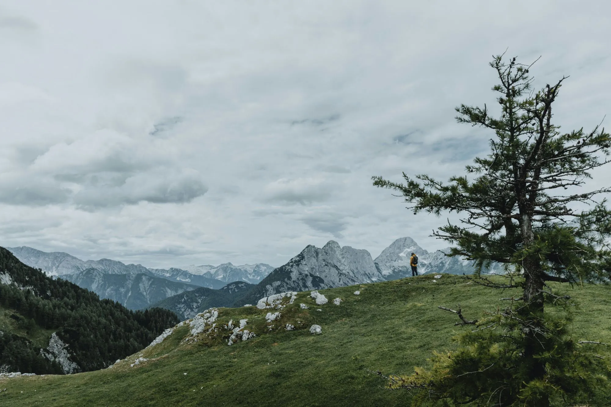
Hiker in a yellow jacket in an alpine meadow with a larch tree, with rocky peaks beneath clouds behind
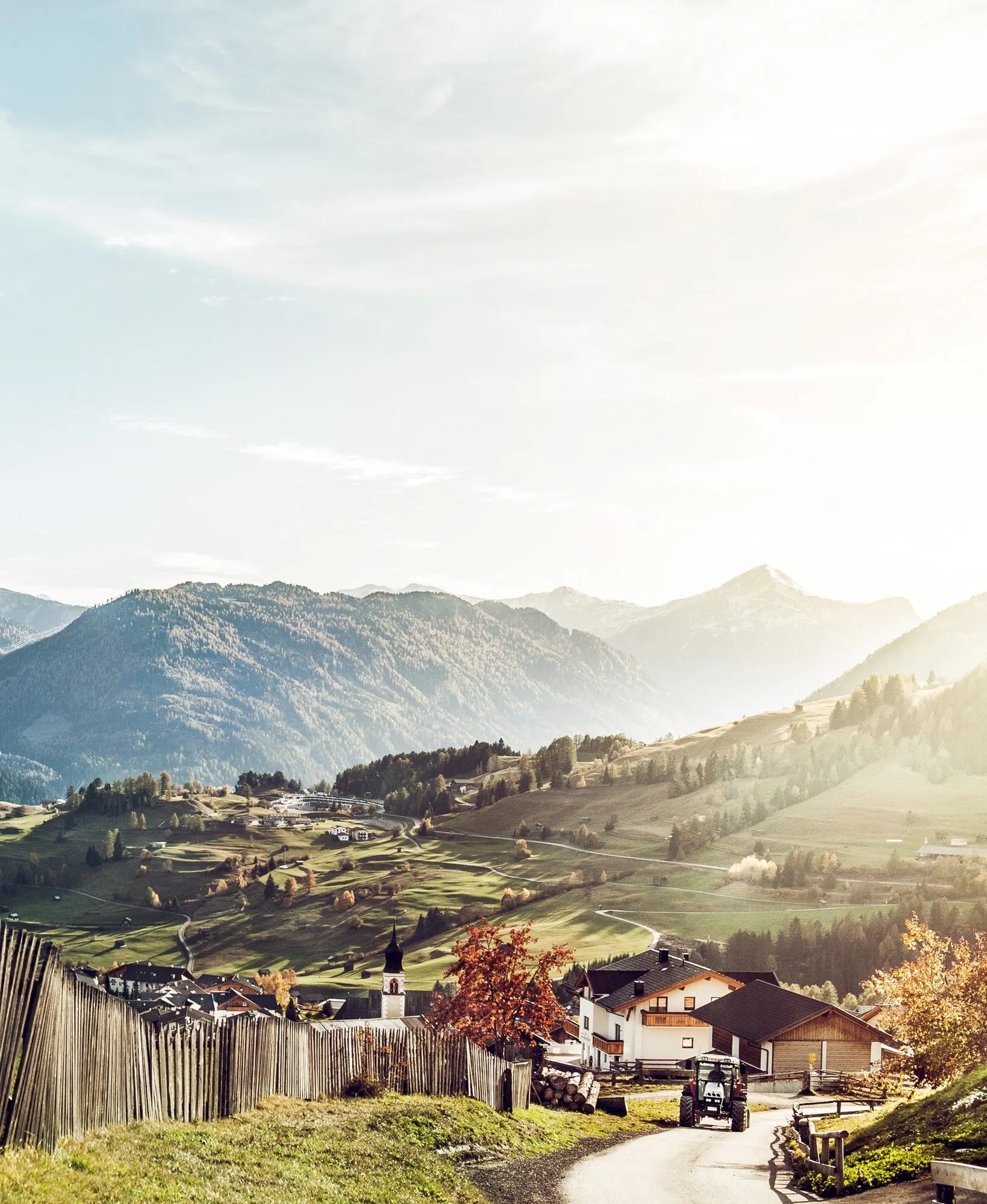
View across Fiss towards the mountains of the Serfaus-Fiss-Ladis holiday region
Woman hiking on a rock beside a mountain lake, her reflection in the still water
Hiker photographed from above, at the edge of a rocky drop above the trees
Purple mountain flowers on a ridge, with a snowfield behind
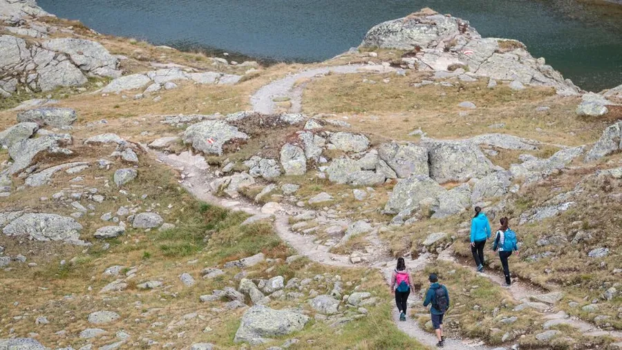
Mountain bikingin FissFamiliesin summerRoomsand rates