Gebhard

DE / NL

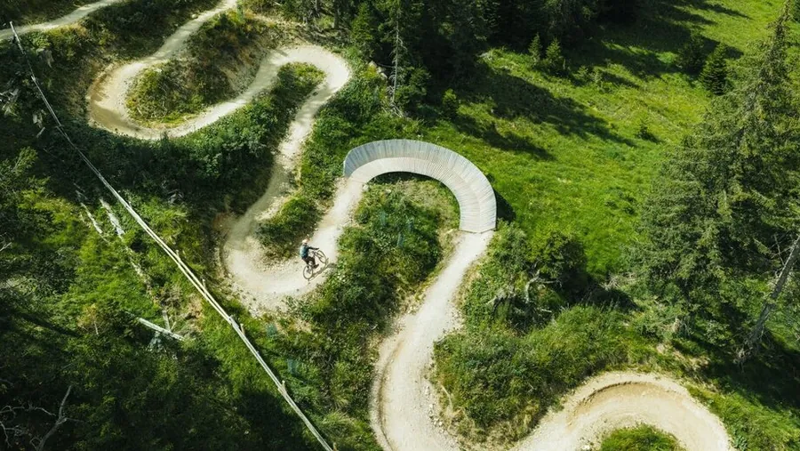
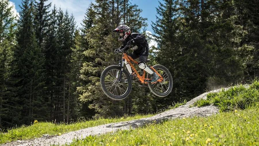
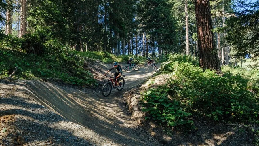
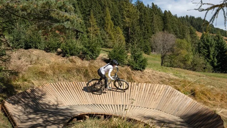
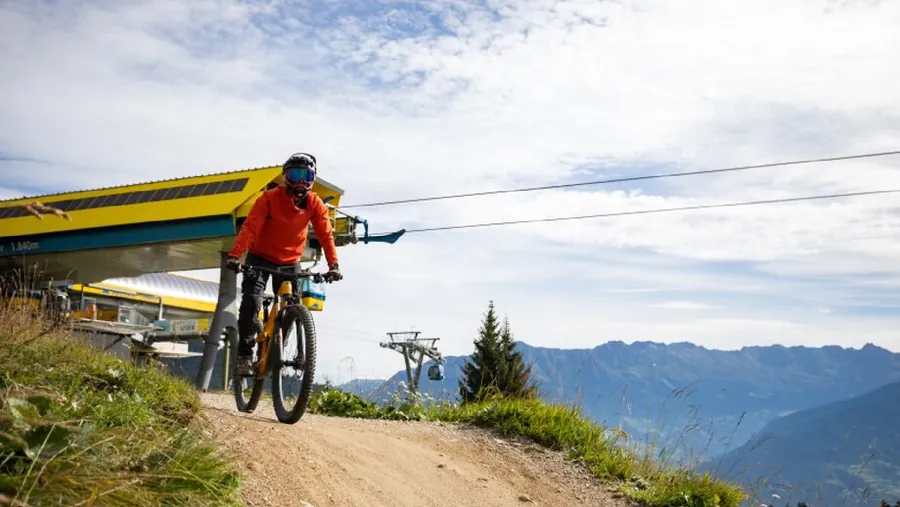
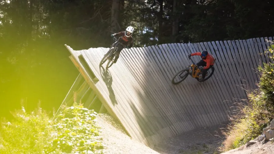
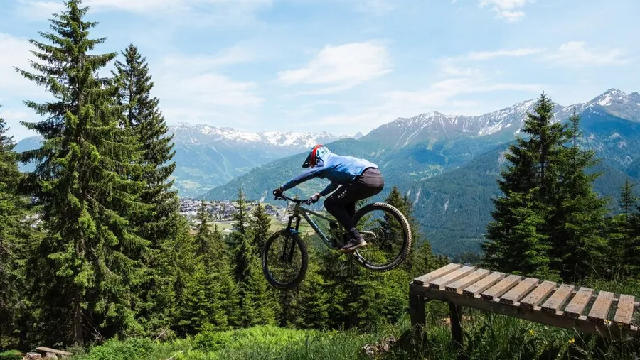
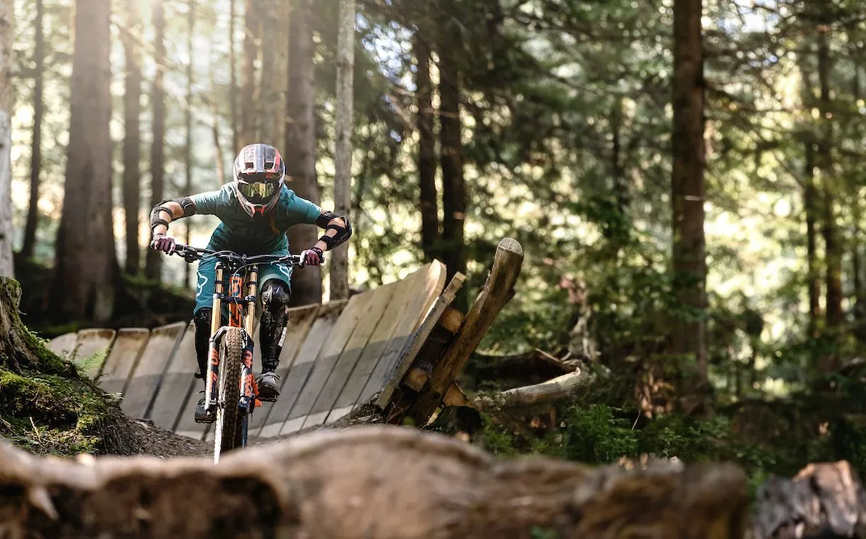
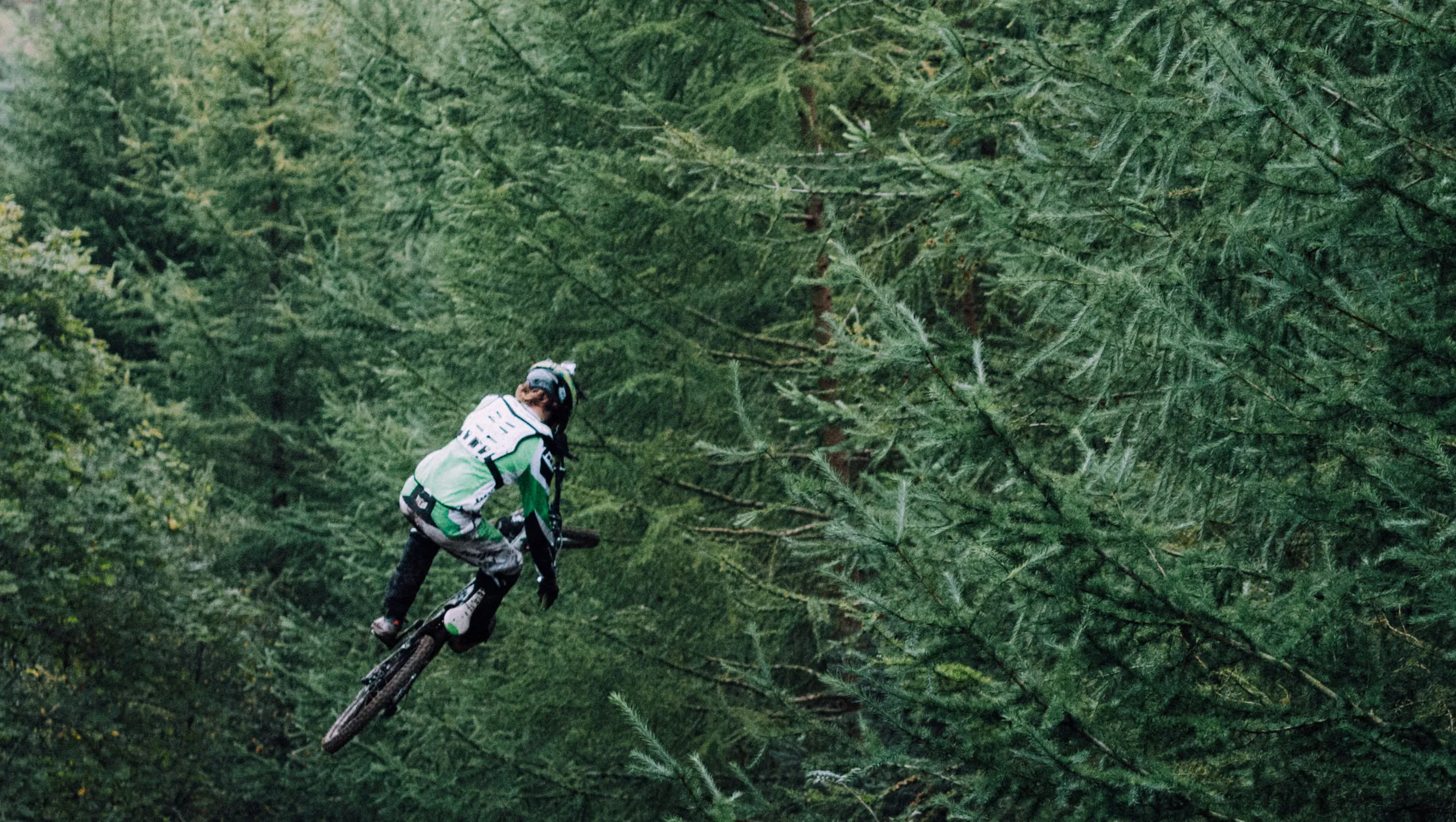
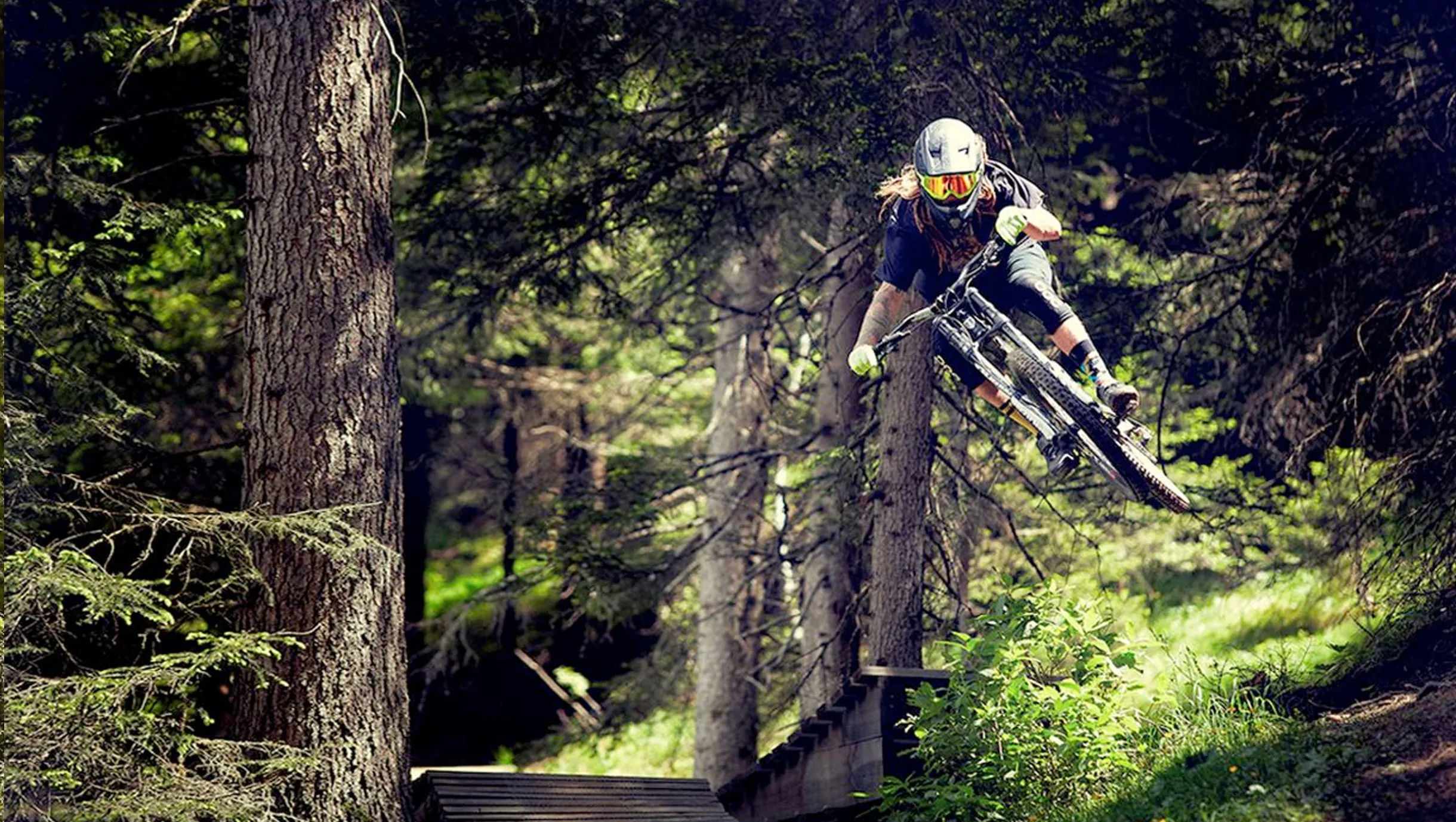
A mountain biker jumps over a wooden walkway in a sunlit conifer forest.
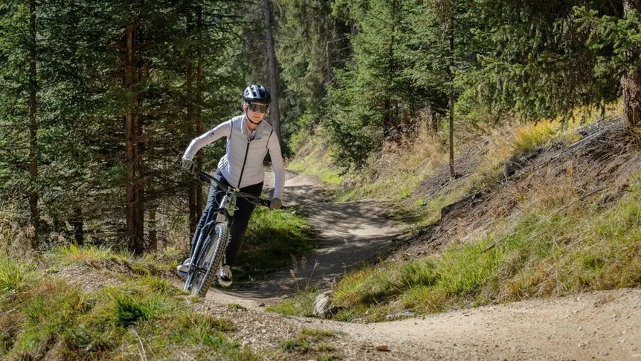
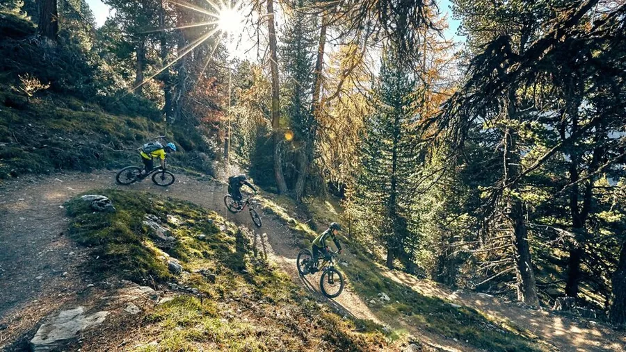
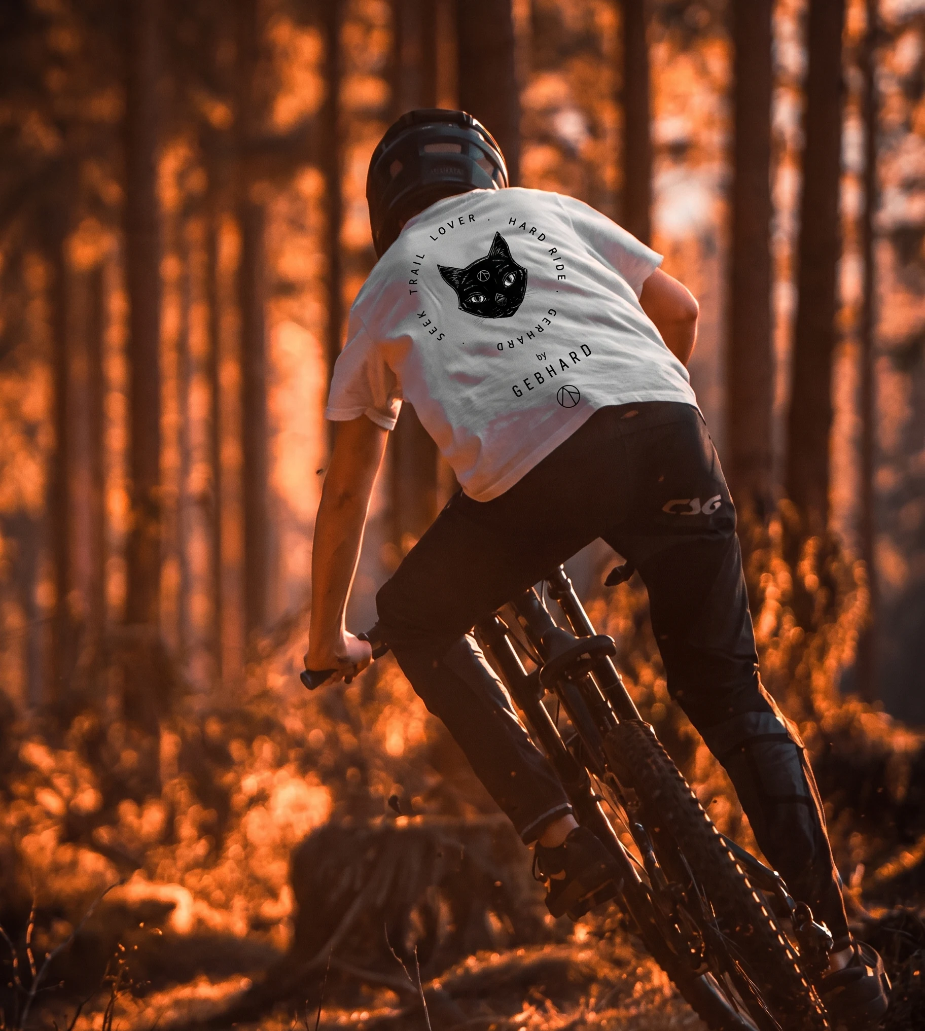
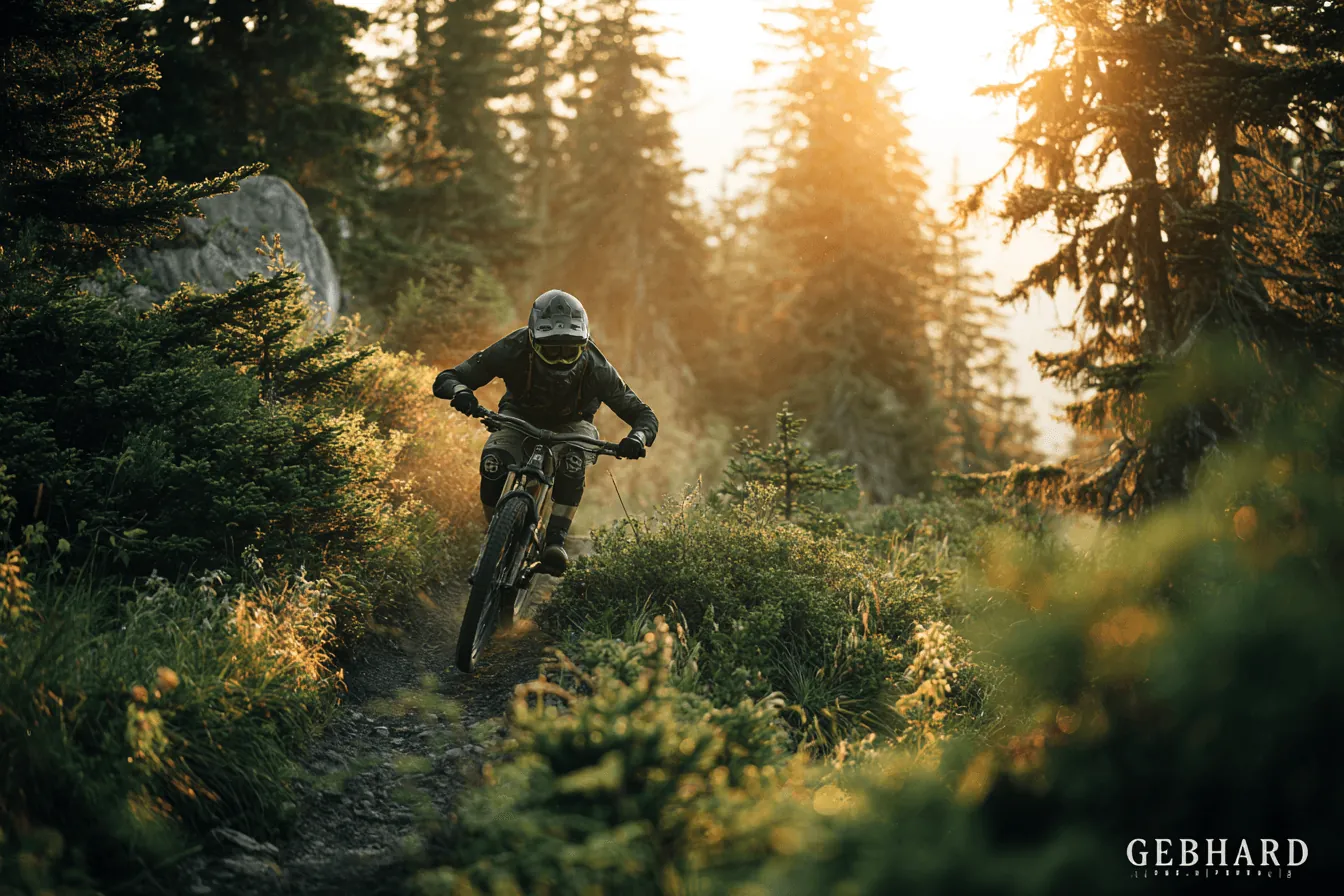
A mountain biker rides down a narrow forest trail, backlit by the sun, with dust hanging in the air.

01 · Bike park

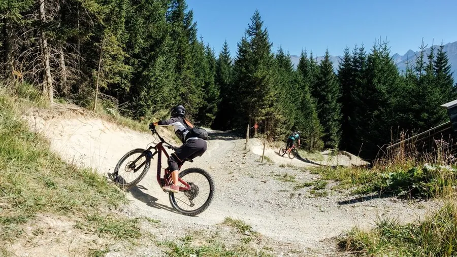
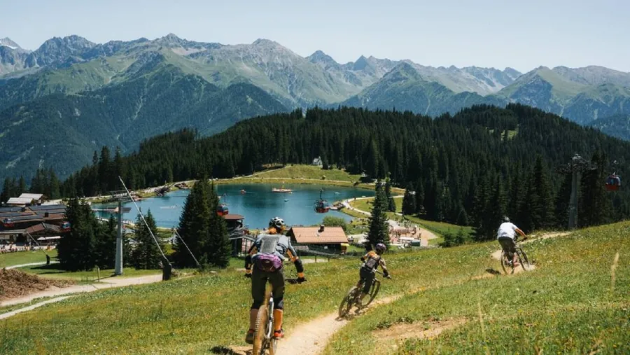
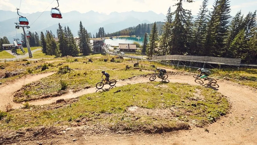
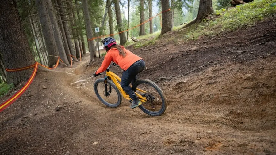
Mountain biking in Fiss

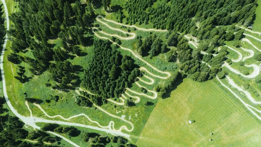
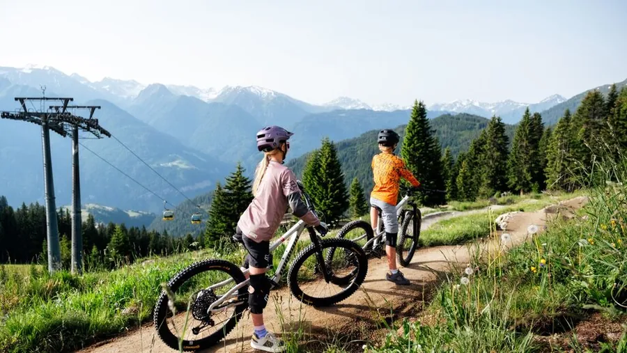
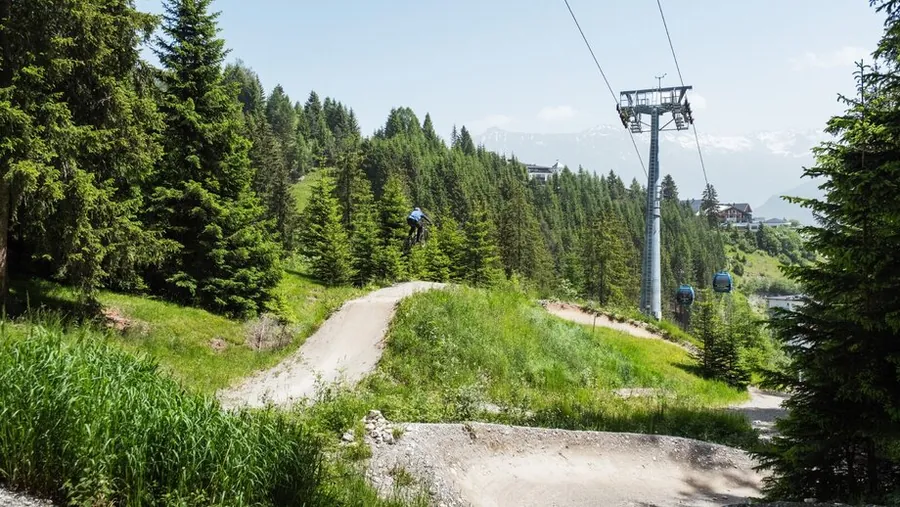
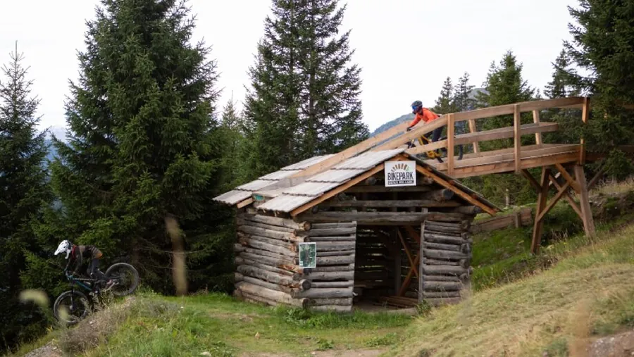
The Serfaus-Fiss-Ladis bike park has nine trails, with another eight singletracks in the region. The Waldbahn valley station is just a few minutes’ walk from Fiss. The bike school is right there too, if you’re looking for a course or some help with your riding.

Together, the 17 trails cover 58,3 kilometres, with 5.482 metres of descent. Eleven mountain lifts give you access to the region. The right route for your day depends on its length and difficulty: the map has everything from very easy to difficult.

BIKE PARK
9 trails
SINGLETRACKS
8 in the region
BIKE SCHOOL
right by the Waldbahn

02 · Trails in numbers

17 trails, 58,3 kilometres

The 17 trails cover a total of 58,3 kilometres with 5.482 metres of descent. The longest is the Frommestrail at 9,6 kilometres with 871 metres of descent. The Zirbentrail comes close at 9,1 kilometres if you’re looking for a long trail for your day out.

There’s a wide range of difficulty levels too: 2 trails are very easy, 6 easy, 7 intermediate and 2 difficult. You can choose between short and long descents and combine trails to suit your riding ability and planned route.

TOTAL
58,3 km of trails
DESCENT
5.482 metres of descent
FROMMESTRAIL
9,6 km · 871 m descent

In the bike park

Trail tips

Every trail starts where you stay, at 1,433 metres. 17 trails begin from here.

HOTEL GEBHARD1,433 M1.000 M2.600 MHOTEL GEBHARD1,433 M1.000 M2.600 M

One scale, one starting point, 17 trails

Clicking loads content from komoot.com. Data (e.g. your IP address) is transmitted to Komoot. More in the privacy policy.

Komoot guide, publicly available. See all tours from the hotel on komoot.com

01

Sehr leichte Trails2

01.01

Mountain biker at the Bärenkopf on the AlpkopftrailFamily on the Alpkopftrail with a view of the mountainsRiding the Alpkopftrail togetherMountain biker on the Alpkopftrail below the AlpkopfbahnFamily mountain biking on the AlpkopftrailFamily with mountain bikes in front of the mountains at the Alpkopf
01 / 06

Photo: Serfaus-Fiss-Ladis Marketing GmbH, Manuel Kokseder

Very easy

Alpkopftrail

Alpkopfbahn Bergstation to Alpkopfbahn Bergstation

Length
2.6km
Downhill
182m

2.6 km, 182 m downhill

The Alpkopfbahn drops you off at a good 2,000 metres, from there you roll down to Lake Hög. On the way, a flowy singletrail with natural terrain sections awaits.

Photo: Serfaus-Fiss-Ladis Marketing GmbH, Manuel Kokseder

Description

Flowy singletrail with varied curves and natural terrain sections for plenty of riding fun.

The Alpkopftrail leads from the Alpkopf that gives it its name down to Lake Hög. First take the gondola to the top station at a full 2,023 m. From there you ride smoothly through subalpine terrain. Slightly challenging passages, especially in the second section, give you the chance to improve your bike handling. With a distance of 2.6 km and a drop of 200 m, the Alpkopftrail is rated very easy (green). It is the ideal introduction for all bikers who want to try singletrail riding. Experienced riders can also use it as a warm-up and collect a few relaxed singletrail kilometres. The trail ends at Lake Hög at 1,829 m, where the Hög Alm and the Seealm Hög offer first-class places to refuel before the next trails.

Key facts

Start
Alpkopfbahn Bergstation
Finish
Alpkopfbahn / Hög Mittelstation
Difficulty
Very easy
Highest point
2020 m
Lowest point
1828 m
Average gradient
7,4 %
Trail number
7110

Nearby

Food and stops
  • Seealm HögSerfaus
  • Erlebnispark HögSerfaus
  • Hög AlmRied im Oberinntal
  • MurmlikioskSerfaus
Parking and service
  • E-bike charging Seealm HögSerfaus
  • E-bike charging Hög AlmSerfaus

From the hotel

  1. From the hotel
  2. On footHotel Gebhard to Talstation Waldbahn966 m, about 13 min
  3. 2
    Mountain liftWaldbahn upfrom 1411 m to 1827 m, 416 m elevation
  4. 3
    On footBergstation Waldbahn to Bergstation Sunliner33 m, about 1 min
  5. 4
    Mountain liftSunliner downfrom 1828 m to 1439 m, 389 m elevation
  6. 5
    On foot or by busTalstation Sunliner to Talstation Alpkopfbahnabout 100 m as the crow flies, please follow the signs
  7. 6
    Mountain liftAlpkopfbahn upfrom 1432 m to 2018 m, 586 m elevation
  8. The tour
  9. S
    StartAlpkopfbahn Bergstation2.6 km
  10. Z
    FinishAlpkopfbahn / Hög Mittelstation
23-45-6GEBHARDWaldbahnSunlinerAlpkopfbahnTalstation WaldbahnFissSerfausKölner HausHög AlmN500 m
Map key

on footMountain lift (dashed)Tour

Paths: OpenStreetMap contributors (ODbL), tour map Hotel Gebhard. Contour lines: EU-DEM 25 m (Copernicus)

Elevation profile, from 2020 m to 1828 m
01.02

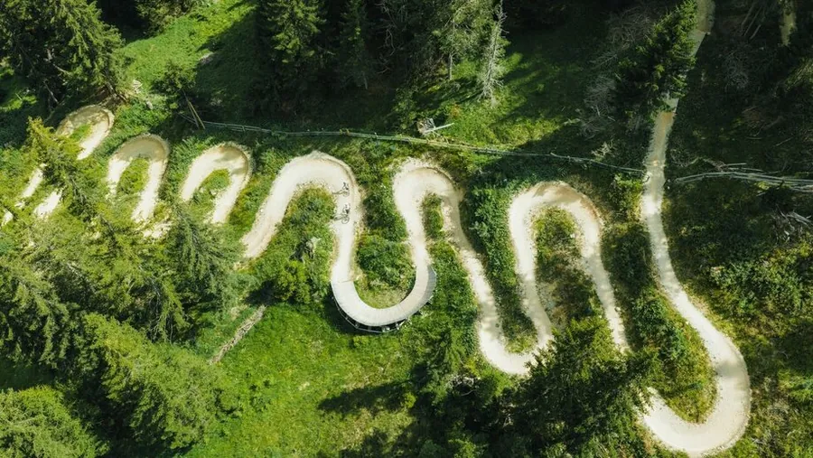
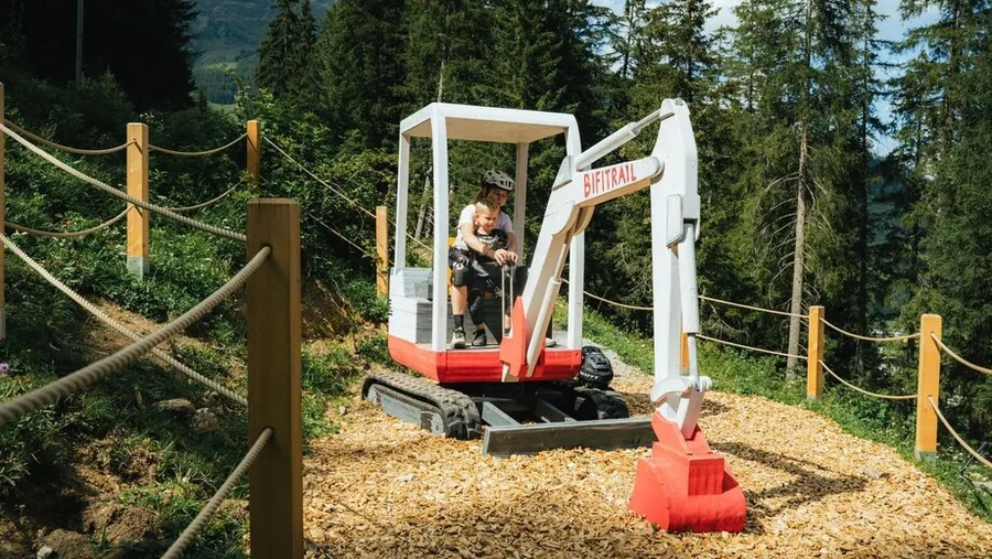
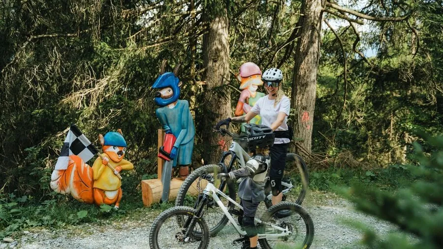
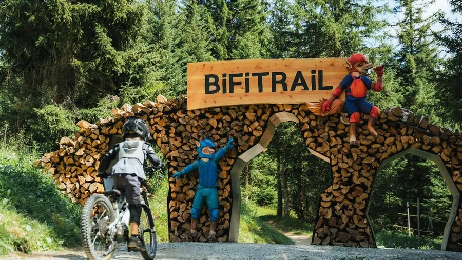
Small bike adventures at the entrance to the BifitrailSweeping curves on the Bifitrail from abovePlayful break at the Bifitrail with the little diggerKleine Entdeckungstour to den tierischen Freunden am BifitrailReaching the finish together on the BifitrailCurve fun in the green on the BifitrailSwinging through the curves of the Bifitrail
01 / 07

Photo: Serfaus-Fiss-Ladis Marketing GmbH, Markus Lindl

Very easy

Bifitrail

Sunliner Bergstation to Waldbahn Talstation

Length
6.9km
Downhill
390m

6.9 km, 390 m downhill

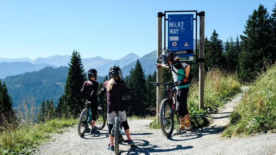
Almost seven kilometres, and still the easiest long trail here. It starts at the Waldbahn top station, right next to the Milky Way.

Photo: Serfaus-Fiss-Ladis Marketing GmbH, Markus Lindl

Description

Twisty singletrail with varied passages and lots of riding fun on natural ground.

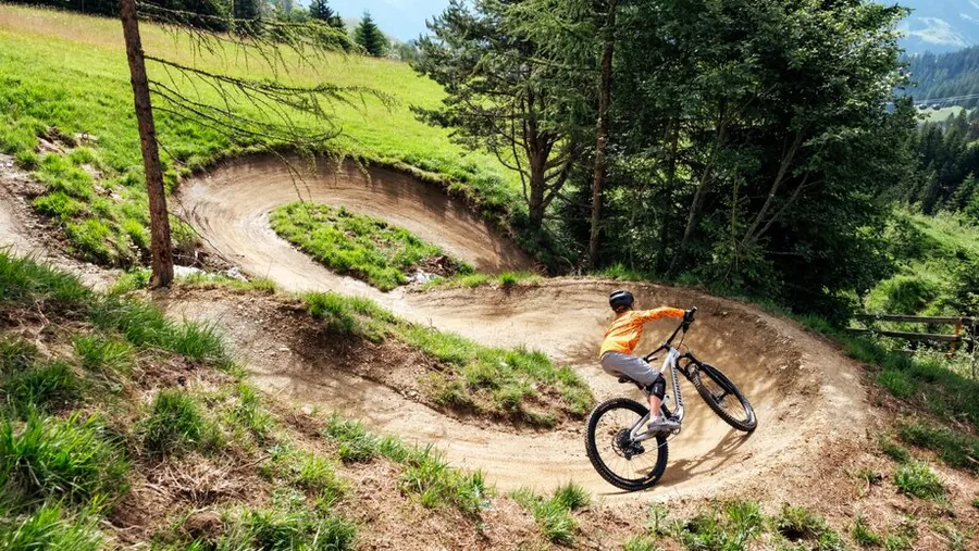
The start is at the Waldbahn top station, next to the Milky Way. The 6.9 km and 390 m of descent offer a flowy introduction to mountain biking, with a wonderful panorama. The trail starts with a combination of small rollers and easy curves. Very playful and with many berms, it continues through mountain meadows and old forests. In the last section, North Shore elements, rollers and curves add variety. All elements are beginner-friendly and can easily be rolled over. On this flowy trail you get a perfect first taste of MTB.

Key facts

Start
Waldbahn Bergstation
Finish
Waldbahn Talstation
Difficulty
Very easy
Highest point
1831 m
Lowest point
1433 m
Average gradient
6,5 %
Trail number
7126

Nearby

Parking and service
  • E-bike charging Bikepark - WaldbahnFiss
  • Multi-storey car park WaldbahnFiss

From the hotel

  1. From the hotel
  2. On footHotel Gebhard to Talstation Waldbahn966 m, about 13 min
  3. 2
    Mountain liftWaldbahn upfrom 1411 m to 1827 m, 416 m elevation
  4. The tour
  5. S
    StartWaldbahn Bergstation6.9 km
  6. Z
    FinishWaldbahn Talstation
  7. A
    On footTalstation Waldbahn to Hotel Gebhard966 m, about 13 min
2GEBHARDWaldbahnTalstation WaldbahnFissAGEBHARDFissN500 m
Map key

on footMountain lift (dashed)Tour

Paths: OpenStreetMap contributors (ODbL), tour map Hotel Gebhard. Contour lines: EU-DEM 25 m (Copernicus)

Elevation profile, from 1831 m to 1433 m

02

Leichte Trails6

02.01

Vuelta

Photo: Serfaus-Fiss-Ladis Marketing GmbH

Easy

Vuelta

Sunliner Bergstation to Waldbahn Bergstation

Length
0.26km
Uphill
4m
Downhill
20m

0.26 km, 20 m downhill, 4 m up

The shortest trail in the area, 161 metres. It leaves the Milky Way at the Waldbahn top station, runs a little to the south and rejoins it above the steel bridge.

Photo: Serfaus-Fiss-Ladis Marketing GmbH

Description

Flowy singletrail with varied curves and natural terrain. The trail combines smooth riding with exciting passages for varied biking fun.

The Vuelta, an extension of the Milky Way, also starts at the Waldbahn top station at 1,840 metres. The 170-metre Vuelta first runs slightly south of the Milky Way before rejoining it a few metres above the steel bridge. You don't have to be a pro for the Vuelta either: in terms of difficulty this bike park trail is very easy (blue), so less experienced riders can choose this line to get back to the Waldbahn valley station without any problems.

Key facts

Start
Waldbahn Bergstation
Finish
Waldbahn Talstation
Difficulty
Easy
Highest point
1805 m
Lowest point
1783 m
Average gradient
8,2 %

Nearby

Food and stops
  • Schirmbar WaldbahnFiss
Parking and service
  • Short-stay parking Team-Resort - FissFiss
  • Car park Ferschnes - FissFiss
  • Multi-storey car park WaldbahnFiss
  • E-bike charging Bikepark - WaldbahnFiss
  • Bikeshop Bikepark Serfaus-Fiss-LadisFiss

From the hotel

  1. From the hotel
  2. On footHotel Gebhard to Talstation Waldbahn966 m, about 13 min
  3. 2
    Mountain liftWaldbahn upfrom 1411 m to 1827 m, 416 m elevation
  4. The tour
  5. S
    StartWaldbahn Bergstation0.26 km
  6. Z
    FinishWaldbahn Talstation
  7. A
    On footTalstation Waldbahn to Hotel Gebhard966 m, about 13 min
2GEBHARDWaldbahnTalstation WaldbahnFissAGEBHARDFissN500 m
Map key

on footMountain lift (dashed)Tour

Paths: OpenStreetMap contributors (ODbL), tour map Hotel Gebhard. Contour lines: EU-DEM 25 m (Copernicus)

Elevation profile, from 1805 m to 1783 m

02.02

Morning GloryMorning GloryMorning Glory
01 / 03

Photo: Serfaus-Fiss-Ladis Marketing GmbH, Manuel Kokseder

Easy

Morning Glory

Waldbahn Bergstation to Waldbahn Talstation

Length
0.83km
Downhill
103m

0.83 km, 103 m downhill

Barely 700 metres, but the fastest of the day. You enter via the Milky Way, turn right shortly after the steel bridge and end up back on the Milky Way.

Photo: Serfaus-Fiss-Ladis Marketing GmbH, Manuel Kokseder

Description

Flowy bike park trail with varied curves and smooth passages for plenty of riding fun.

Good morning, time to get up. The Morning Glory is the perfect start to a bike day and an absolute highlight in the bike park. Whether beginner or mountain bike specialist, whether warming up or practising, this trail guarantees everyone a big portion of bike park fun. Despite its easy rating (blue), the Morning Glory has many exciting features such as berms and jumps that make every biker's heart beat faster. You reach the trail entry via the Milky Way. Shortly after the steel bridge the trail branches off to the right and runs downhill with exceptional flow. After 750 metres you are back on the Milky Way and can take it easy for the rest of the way.

Key facts

Start
Waldbahn Bergstation
Finish
Waldbahn Talstation
Difficulty
Easy
Highest point
1766 m
Lowest point
1658 m
Average gradient
12,7 %

Nearby

Food and stops
  • Schirmbar WaldbahnFiss
Parking and service
  • Bikeshop Bikepark Serfaus-Fiss-LadisFiss
  • Short-stay parking Team-Resort - FissFiss
  • Multi-storey car park WaldbahnFiss
  • Car park Ferschnes - FissFiss
  • E-bike charging Bikepark - WaldbahnFiss

From the hotel

  1. From the hotel
  2. On footHotel Gebhard to Talstation Waldbahn966 m, about 13 min
  3. 2
    Mountain liftWaldbahn upfrom 1411 m to 1827 m, 416 m elevation
  4. The tour
  5. S
    StartWaldbahn Bergstation0.83 km
  6. Z
    FinishWaldbahn Talstation
  7. A
    On footTalstation Waldbahn to Hotel Gebhard966 m, about 13 min
2GEBHARDWaldbahnTalstation WaldbahnFissAGEBHARDFissN500 m
Map key

on footMountain lift (dashed)Tour

Paths: OpenStreetMap contributors (ODbL), tour map Hotel Gebhard. Contour lines: EU-DEM 25 m (Copernicus)

Elevation profile, from 1766 m to 1658 m

02.03

Milky Way StartMilky WayMilky Way
01 / 03

Photo: Serfaus-Fiss-Ladis Marketing GmbH, Manuel Kokseder

Easy

Milky Way

Sunliner Bergstation to Waldbahn Bergstation

Length
2.94km
Downhill
377m

2.94 km, 377 m downhill

The trail for your first bike park day. Entry at the Waldbahn top station, small jumps and flat berms, nothing else to surprise you.

Photo: Serfaus-Fiss-Ladis Marketing GmbH, Manuel Kokseder

Description

Flowy bike park trail with varied curves and exciting passages for plenty of riding fun.

The trail entry is at an altitude of 1,840 metres. The three-kilometre bike park trail covers a little over 400 metres of descent. The Milky Way is an easy trail (blue) aimed especially at beginners with little bike experience. Whatever the pace and level, fun comes first on this line. Its character makes the Milky Way ideal for families and mountain bikers gaining their first bike park and trail experience. Still, smaller obstacles add variety, and jumps and flatter berms in particular give a mini adrenaline kick. The Milky Way is perfect for a first taste of bike park air and the first trail kilometres of the day.

Key facts

Start
Waldbahn Bergstation
Finish
Waldbahn Talstation
Difficulty
Easy
Highest point
1830 m
Lowest point
1441 m
Average gradient
11,4 %

Nearby

Food and stops
  • Schirmbar WaldbahnFiss
Parking and service
  • Bikeshop Bikepark Serfaus-Fiss-LadisFiss
  • Multi-storey car park WaldbahnFiss
  • Car park Ferschnes - FissFiss
  • E-bike charging Bikepark - WaldbahnFiss
  • Short-stay parking Team-Resort - FissFiss

From the hotel

  1. From the hotel
  2. On footHotel Gebhard to Talstation Waldbahn966 m, about 13 min
  3. 2
    Mountain liftWaldbahn upfrom 1411 m to 1827 m, 416 m elevation
  4. The tour
  5. S
    StartWaldbahn Bergstation2.94 km
  6. Z
    FinishWaldbahn Talstation
  7. A
    On footTalstation Waldbahn to Hotel Gebhard966 m, about 13 min
2GEBHARDWaldbahnTalstation WaldbahnFissAGEBHARDFissN500 m
Map key

on footMountain lift (dashed)Tour

Paths: OpenStreetMap contributors (ODbL), tour map Hotel Gebhard. Contour lines: EU-DEM 25 m (Copernicus)

Elevation profile, from 1830 m to 1441 m

02.04

Riding the Högtrail together with a view of Lake HögHögtrail to Lake HögBike adventure on the Högtrail with a stunning view of Lake HögExploring the Högtrail together and enjoying the mountainsCurves and action on the HögtrailBy mountain bike towards Lake Hög, riding fun with a mountain panorama
01 / 06

Photo: Serfaus-Fiss-Ladis Marketing GmbH, Markus Lindl

Easy

Högtrail

Alpkopfbahn Bergstation to Sunliner Talstation

Length
3.8km
Downhill
355m

3.8 km, 355 m downhill

An easy blue trail that still packs a punch. It starts at Lake Hög at 1,829 metres and ends at the valley station of the Komperdell and Alpkopf lifts.

Photo: Serfaus-Fiss-Ladis Marketing GmbH, Markus Lindl

Description

Varied singletrail with flowy curves and exciting passages for sporty riding fun.

Fancy getting into mountain biking? Or simply enjoying pure trail pleasure at a relaxed pace? The Högtrail makes it possible: an easy trail (blue) that still packs a punch. The Högtrail starts at Lake Hög at 1,829 m and can be reached directly via the Alpkopfbahn middle station at the lake, or ridden in combination with the Alpkopftrail. True to the motto "the more trail, the better", take the Alpkopfbahn all the way to the top station and ride the Alpkopftrail and then the Högtrail as an extension down to Serfaus. Flowy trails and rollers for the odd jump are part of the Högtrail, and North Shore elements through the high moor around Hög and root sections add plenty of variety. After 3.8 km you reach the valley station of the Komperdell and Alpkopf lifts. Beginner or pro, nobody gets bored on this flow trail.

Key facts

Start
Högsee
Finish
Komperdell Talstation
Difficulty
Easy
Highest point
1811 m
Lowest point
1493 m
Average gradient
8,3 %
Trail number
7081

Nearby

Food and stops
  • Hög AlmRied im Oberinntal
  • Seealm HögSerfaus
Parking and service
  • E-bike charging Seealm HögSerfaus
  • E-bike charging Hög AlmSerfaus

02.05

Singletrail LeithetrailLeithetrailSingletrailFlowy trailJumpLeithe TrailLeithe Trail
01 / 07

Photo: Serfaus-Fiss-Ladis Marketing GmbH, Luke Schütz

Easy

Leithetrail

Sunliner Bergstation to Sunliner Talstation

Length
4.3km
Downhill
312m

4.3 km, 312 m downhill

The link between the bike park and the Serfaus singletrails. It branches off the Bifitrail, crosses the Argebach stream on a bridge and ends at the valley station of the Alpkopf and Komperdell lifts.

Photo: Serfaus-Fiss-Ladis Marketing GmbH, Luke Schütz

Description

A flowy start to the trail adventure: small rollers, easy curves and smooth berms lead through alpine meadows and old forests. North Shore elements, rollers and curves add extra fun in the last section, perfect for collecting your first trail kilometres.

The Leithetrail connects the Serfaus-Fiss-Ladis bike park with the singletrails around Serfaus. It branches off the Bifitrail and ends at the valley station of the Alpkopf and Komperdell lifts. The first section of the blue Leithetrail has small rollers, doubles and easy berms; more experienced riders find small jumps at the edge of the trail. The middle section features changing steep curves, North Shore elements and a bridge over the Argebach. At the Komperdellbahn middle station you can switch to the Scheidtrail, Alpkopftrail or Högtrail. The last section offers another big portion of flow with obstacles you can roll over.

Key facts

Start
Waldbahn Bergstation
Finish
Alpkopf- und Komperdellbahn Talstation
Difficulty
Easy
Highest point
1759 m
Lowest point
1444 m
Average gradient
8,0 %
Trail number
7128

Nearby

Food and stops
  • Restaurant Leithe WirtSerfaus
Parking and service
  • E-bike charging Leithe WirtSerfaus

From the hotel

  1. From the hotel
  2. On footHotel Gebhard to Talstation Waldbahn966 m, about 13 min
  3. 2
    Mountain liftWaldbahn upfrom 1411 m to 1827 m, 416 m elevation
  4. The tour
  5. S
    StartWaldbahn Bergstation4.3 km
  6. Z
    FinishAlpkopf- und Komperdellbahn Talstation
  7. A
    Mountain liftKomperdellbahn downfrom 1974 m to 1445 m, 529 m elevation
  8. B
    On footTalstation Komperdellbahn to Talstation Sunliner95 m, about 2 min
  9. C
    Mountain liftSunliner upfrom 1439 m to 1828 m, 389 m elevation
  10. D
    On footBergstation Sunliner to Bergstation Waldbahn33 m, about 1 min
  11. E
    Mountain liftWaldbahn downfrom 1827 m to 1411 m, 416 m elevation
  12. F
    On footTalstation Waldbahn to Hotel Gebhard966 m, about 13 min
2GEBHARDWaldbahnTalstation WaldbahnFissSerfausKölner HausHög AlmSeealm HögAB-CD-EFGEBHARDKomperdellbahnSunlinerWaldbahnBergstation KomperdellbahnFissSerfausKölner HausHög AlmSeealm HögN500 m
Map key

on footMountain lift (dashed)Tour

Paths: OpenStreetMap contributors (ODbL), tour map Hotel Gebhard. Contour lines: EU-DEM 25 m (Copernicus)

Elevation profile, from 1759 m to 1444 m

02.06

ZirbentrailZirbentrailSingletrail through the Swiss pine forestZirbentrail in FissZirbentrail singletrailZirbentrail on the north side of FissZirbentrail
01 / 07

Photo: Serfaus-Fiss-Ladis Marketing GmbH, Raphael Pöham

Easy

Zirbentrail

Almbahn Bergstation to Almbahn Talstation

Length
9.1km
Downhill
790m

9.1 km, 790 m downhill

At 9.1 kilometres the longest singletrail in the region, created from three former trails. It starts at around 2,600 metres and runs down to the Almbahn valley station.

Photo: Serfaus-Fiss-Ladis Marketing GmbH, Raphael Pöham

Description

Varied singletrail with flowy curves and natural terrain for sporty riding fun.

At 9.1 km, the Zirbentrail on the north side of Fiss is the longest singletrail in Serfaus-Fiss-Ladis. It is based on three former trails (Almtrail, Flüstertrail and Zirbentrail), cleverly linked and partly redesigned to give riders more action over more singletrail kilometres. Starting at 2,600 m, the trail winds with lots of flow through breathtaking high alpine terrain towards the Fisser Joch, with gentle hairpins, flowy curves and small and large rollers to the Heustadldorf, the perfect spot for a short rest: enjoy the sun, admire the panorama, ride on. In the lower third the trail enters the Swiss pine forest that gives it its name. A whole series of North Shore elements, rollers and doubles allow many line choices, so both beginners and advanced riders get their money's worth. There are few limits to creativity here. In total the easy (blue) singletrail covers almost 790 metres of descent on its varied route from the Zwölferkopf to the Almbahn valley station.

Key facts

Start
Albahn Bergstation
Finish
Almbahn Talstation
Difficulty
Easy
Highest point
2580 m
Lowest point
1808 m
Average gradient
8,5 %
Trail number
7083

Nearby

Food and stops
  • Panoramarestaurant BergDiamantFiss
Parking and service
  • E-bike charging BergDiamantFiss

03

Mittlere Trails7

03.01

Freeride Trail in the bike parkFreeride jump
01 / 02

Photo: Serfaus-Fiss-Ladis Marketing GmbH

Moderate

Freeride Trail

Waldbahn Talstation to Waldbahn Talstation

Length
0.35km
Uphill
4m
Downhill
31m

0.35 km, 31 m downhill, 4 m up

Only 370 metres, but with the most airtime. You reach the entry via the Strada del Sole and turn off in the lower third, then rejoin it.

Photo: Serfaus-Fiss-Ladis Marketing GmbH

Description

Action-packed freeride trail with varied passages, curves and lots of airtime for plenty of riding fun.

The Freeride Trail is loved not only by the readers of Freeride magazine, who inspired and co-designed it. For advanced and experienced bike park riders in particular, it is a paradise. You reach the trailhead via the Strada del Sole. In the lower third is the turn-off to the Freeride Trail, where doubles and massive jumps provide plenty of airtime. Focus and concentration are a must on this intermediate (red) bike park line. After 370 metres the Freeride Trail rejoins the Strada del Sole for the last metres back to the Waldbahn valley station. A quick snack in the valley and then another run, right?

Key facts

Start
Waldbahn Bergstation
Finish
Waldbahn Talstation
Difficulty
Moderate
Highest point
1490 m
Lowest point
1453 m
Average gradient
10,4 %

Nearby

Food and stops
  • Schirmbar WaldbahnFiss
Parking and service
  • Bikeshop Bikepark Serfaus-Fiss-LadisFiss
  • Multi-storey car park WaldbahnFiss
  • E-bike charging Bikepark - WaldbahnFiss
  • Short-stay parking Team-Resort - FissFiss
  • Car park Ferschnes - FissFiss

From the hotel

  1. From the hotel
  2. On footHotel Gebhard to Talstation Waldbahn966 m, about 13 min
  3. 2
    Mountain liftWaldbahn upfrom 1411 m to 1827 m, 416 m elevation
  4. The tour
  5. S
    StartWaldbahn Bergstation0.35 km
  6. Z
    FinishWaldbahn Talstation
  7. A
    On footTalstation Waldbahn to Hotel Gebhard966 m, about 13 min
2GEBHARDWaldbahnTalstation WaldbahnFissAGEBHARDFissN500 m
Map key

on footMountain lift (dashed)Tour

Paths: OpenStreetMap contributors (ODbL), tour map Hotel Gebhard. Contour lines: EU-DEM 25 m (Copernicus)

Elevation profile, from 1490 m to 1453 m

03.02

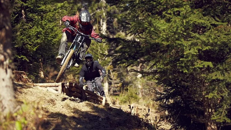
Supernatural trail in the bike parkIntermediate bike park trail SupernaturalSuper Natural
01 / 03

Photo: Serfaus-Fiss-Ladis Marketing GmbH

Moderate

Supernatural

Waldbahn Bergstation to Waldbahn Talstation

Length
0.51km
Downhill
52m

0.51 km, 52 m downhill

An intermediate red trail with lots of flow, especially for skilled freeriders. From the Waldbahn top station you follow the Strada del Sole for a few metres, then it branches off.

Photo: Serfaus-Fiss-Ladis Marketing GmbH

Description

Challenging bike park trail with technical passages, curves and varied terrain for experienced riders.

The Supernatural is an intermediate (red) trail with lots of flow, especially attractive for skilled freeriders. From the Waldbahn top station you follow the Strada del Sole for a few metres before entering the Supernatural. Differently designed and combined berms, jumps and rollers demand constant speed adjustments. Partly slightly technical passages, many small sidehips and North Shore elements allow endless combinations. Depending on skill, the Supernatural can be ridden with very few pedal strokes and little braking. Anyone who still wants more after its 610 metres can go straight on to the extension, the Supernatural 2.0, and keep rolling towards the valley station.

Key facts

Start
Waldbahn Bergstation
Finish
Waldbahn Talstation
Difficulty
Moderate
Highest point
1778 m
Lowest point
1726 m
Average gradient
10,2 %

Nearby

Food and stops
  • Schirmbar WaldbahnFiss
Parking and service
  • Short-stay parking Team-Resort - FissFiss
  • Multi-storey car park WaldbahnFiss
  • Car park Ferschnes - FissFiss
  • Bikeshop Bikepark Serfaus-Fiss-LadisFiss
  • E-bike charging Bikepark - WaldbahnFiss

From the hotel

  1. From the hotel
  2. On footHotel Gebhard to Talstation Waldbahn966 m, about 13 min
  3. 2
    Mountain liftWaldbahn upfrom 1411 m to 1827 m, 416 m elevation
  4. The tour
  5. S
    StartWaldbahn Bergstation0.51 km
  6. Z
    FinishWaldbahn Talstation
  7. A
    On footTalstation Waldbahn to Hotel Gebhard966 m, about 13 min
2GEBHARDWaldbahnTalstation WaldbahnFissAGEBHARDFissN500 m
Map key

on footMountain lift (dashed)Tour

Paths: OpenStreetMap contributors (ODbL), tour map Hotel Gebhard. Contour lines: EU-DEM 25 m (Copernicus)

Elevation profile, from 1778 m to 1726 m

03.03

Bike park trail SupernaturalSuper Natural
01 / 02

Photo: Serfaus-Fiss-Ladis Marketing GmbH

Moderate

Supernatural 2.0

Waldbahn Bergstation to Waldbahn Talstation

Length
1.85km
Downhill
236m

1.85 km, 236 m downhill

The continuation, directly after the Supernatural. Almost two kilometres back to the Waldbahn valley station, smooth to ride and still demanding.

Photo: Serfaus-Fiss-Ladis Marketing GmbH

Description

Varied bike park trail with flowy passages, curves and exciting challenges. The route delivers lots of riding fun and a varied bike park feeling.

If the Supernatural is not enough, the Supernatural 2.0 is a high-quality addition to the bike park. After the 610-metre Supernatural you continue directly onto the Supernatural 2.0, which adds a further facet to the previous trail. It is almost two kilometres long, 1,900 metres to be exact. You don't have to look far for flow and variety here: the line winds smoothly but challengingly back to the hub of the bike park trail network, the Waldbahn valley station. The successful mix of elements makes the Supernatural 2.0 an absolute highlight for every mountain biker: freeriders who are on their bikes day in, day out, weekend warriors and leisure riders can all let off steam on this intermediate (red) line and be thrilled anew on every run.

Key facts

Start
Waldbahn Bergstation
Finish
Waldbahn Talstation
Difficulty
Moderate
Highest point
1701 m
Lowest point
1448 m
Average gradient
15,3 %

Nearby

Food and stops
  • Schirmbar WaldbahnFiss
Parking and service
  • E-bike charging Bikepark - WaldbahnFiss
  • Bikeshop Bikepark Serfaus-Fiss-LadisFiss
  • Short-stay parking Team-Resort - FissFiss
  • Multi-storey car park WaldbahnFiss
  • Car park Ferschnes - FissFiss

From the hotel

  1. From the hotel
  2. On footHotel Gebhard to Talstation Waldbahn966 m, about 13 min
  3. 2
    Mountain liftWaldbahn upfrom 1411 m to 1827 m, 416 m elevation
  4. The tour
  5. S
    StartWaldbahn Bergstation1.85 km
  6. Z
    FinishWaldbahn Talstation
  7. A
    On footTalstation Waldbahn to Hotel Gebhard966 m, about 13 min
2GEBHARDWaldbahnTalstation WaldbahnFissAGEBHARDFissN500 m
Map key

on footMountain lift (dashed)Tour

Paths: OpenStreetMap contributors (ODbL), tour map Hotel Gebhard. Contour lines: EU-DEM 25 m (Copernicus)

Elevation profile, from 1701 m to 1448 m

03.04

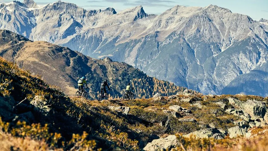
Scheidtrail in SerfausRed ScheidtrailScheidtrail with viewsScheidtrail for advanced ridersThrough the bridgeScheidtrailScheidtrailScheidtrail
01 / 08

Photo: Serfaus-Fiss-Ladis Marketing GmbH, Manuel Kokseder

Moderate

Scheidtrail

Lazidbahn Bergstation to Lazidbahn Bergstation

Length
2.3km
Downhill
212m

2.3 km, 212 m downhill

Short and high up, it stays above 2,100 metres all the way. The 2.3 kilometres start between Lazid and Scheid, reached via the Komperdellbahn.

Photo: Serfaus-Fiss-Ladis Marketing GmbH, Manuel Kokseder

Description

Varied singletrail with flowy passages, curves and exciting terrain sections for sporty riding fun.

Short but by no means monotonous. The 2.3 km Scheidtrail has everything a biker's heart desires. The action starts between Lazid and Scheid. The trail entry is reached via the Komperdellbahn and then the Lazidbahn; from the top station it is about 600 m to the trail. You stay between 2,350 and 2,100 m the whole time, so fascinating views of the mountains are guaranteed. The intermediate (red) trail invites advanced riders but should not put off beginners either. With berms, rollers and different gradients, all well matched and combinable in many ways, everyone can find their own line: roll down gently and enjoy the panorama, or ride the route at high speed, both are possible on the Scheidtrail. After about 240 metres of descent you roll smoothly along a stream bed back to the Lazidbahn valley station.

Key facts

Start
Lazid
Finish
Talboden Scheid
Difficulty
Moderate
Highest point
2312 m
Lowest point
2099 m
Average gradient
9,1 %
Trail number
7082

Nearby

Food and stops
  • Restaurant LassidaSerfaus
Parking and service
  • E-bike charging LassidaSerfaus

From the hotel

  1. From the hotel
  2. On footHotel Gebhard to Talstation Waldbahn966 m, about 13 min
  3. 2
    Mountain liftWaldbahn upfrom 1411 m to 1827 m, 416 m elevation
  4. 3
    On footBergstation Waldbahn to Bergstation Sunliner33 m, about 1 min
  5. 4
    Mountain liftSunliner downfrom 1828 m to 1439 m, 389 m elevation
  6. 5
    On footTalstation Sunliner to Talstation Komperdellbahn95 m, about 2 min
  7. 6
    Mountain liftKomperdellbahn upfrom 1445 m to 1974 m, 529 m elevation
  8. 7
    On footBergstation Komperdellbahn to Talstation Lazidbahn225 m, about 3 min
  9. 8
    Mountain liftLazidbahn upfrom 1978 m to 2346 m, 368 m elevation
  10. The tour
  11. S
    StartLazid2.3 km
  12. Z
    FinishTalboden Scheid
23-45-67-8GEBHARDWaldbahnSunlinerKomperdellbahnLazidbahnTalstation WaldbahnFissSerfausKölner HausHög AlmSeealm HögN1 km
Map key

on footMountain lift (dashed)Tour

Paths: OpenStreetMap contributors (ODbL), tour map Hotel Gebhard. Contour lines: EU-DEM 25 m (Copernicus)

Elevation profile, from 2312 m to 2099 m

03.05

Strada del SoleStrada del Sole FissStrada del Sole WallrideStrada del sole Bikepark
01 / 04

Photo: Serfaus-Fiss-Ladis Marketing GmbH

Moderate

Strada del Sole

Sunliner Bergstation to Waldbahn Talstation

Length
3.18km
Downhill
393m

3.18 km, 393 m downhill

The long red line in the bike park, from the Waldbahn top station down to the valley. There are over forty jumps on the route, and you can roll over almost all of them.

Photo: Serfaus-Fiss-Ladis Marketing GmbH

Description

Flowy bike park trail with fast curves and varied passages for plenty of riding fun.

Are the blue routes getting too slow and you are looking for the next challenge? Then head to the Strada del Sole, one of the intermediate (red) lines in the bike park. It starts at the Waldbahn top station. A length of 2,805 metres and over forty jumps deliver pure bike park action. If that is too much, you can simply roll over most of the jumps. Long curves alternating with passages of many short, tight berms guarantee a ride of a special kind. On top of that, the North Shore elements on the Strada del Sole are a special extra. A certain level of bike handling and control are required to master the Strada del Sole.

Key facts

Start
Waldbahn Bergstation
Finish
Waldbahn Talstation
Difficulty
Moderate
Highest point
1830 m
Lowest point
1442 m
Average gradient
12,2 %

Nearby

Food and stops
  • Schirmbar WaldbahnFiss
Parking and service
  • Bikeshop Bikepark Serfaus-Fiss-LadisFiss
  • Multi-storey car park WaldbahnFiss
  • Car park Ferschnes - FissFiss
  • Short-stay parking Team-Resort - FissFiss
  • E-bike charging Bikepark - WaldbahnFiss

From the hotel

  1. From the hotel
  2. On footHotel Gebhard to Talstation Waldbahn966 m, about 13 min
  3. 2
    Mountain liftWaldbahn upfrom 1411 m to 1827 m, 416 m elevation
  4. The tour
  5. S
    StartWaldbahn Bergstation3.18 km
  6. Z
    FinishWaldbahn Talstation
  7. A
    On footTalstation Waldbahn to Hotel Gebhard966 m, about 13 min
2GEBHARDWaldbahnTalstation WaldbahnFissAGEBHARDFissN500 m
Map key

on footMountain lift (dashed)Tour

Paths: OpenStreetMap contributors (ODbL), tour map Hotel Gebhard. Contour lines: EU-DEM 25 m (Copernicus)

Elevation profile, from 1830 m to 1442 m

03.06

Mountain bike adventure on the Jochtrail with an impressive mountain panoramaCurve fun on the Jochtrail from aboveSwinging through the curves of the Jochtrail
01 / 03

Photo: Serfaus-Fiss-Ladis Marketing GmbH, Markus Lindl

Moderate

Jochtrail

Schönjochbahn II Bergstation to Komperdellbahn Bergstation

Length
5.8km
Uphill
9m
Downhill
463m

5.8 km, 463 m downhill, 9 m up

The highest trail in the region. It starts at the Schönjochbahn top station, crosses the high plateau to the Mittlerer Sattelkopf and ends at the Komperdell top station.

Photo: Serfaus-Fiss-Ladis Marketing GmbH, Markus Lindl

Description

Varied singletrail with flowy passages, curves and natural terrain for sporty riding fun.

For everyone who wants to go high, the Jochtrail is without doubt the best option. The high-altitude trail of the Serfaus-Fiss-Ladis bike region runs through incredible mountain scenery. It starts at the Schönjochbahn top station at an airy 2,436 m. With lots of flow you ride from the BergDiamant panorama restaurant across the high plateau to the Mittlerer Sattelkopf, halfway. If you need a short breather, this is the right place: pause, admire the mountains and recharge. After a short rest you continue. With natural sections, North Shore elements and rock gardens in fine variety, the total 5.8 km fly by. 500 metres lower you finally roll over the finish line of this intermediate (red) trail at the Komperdell top station.

Key facts

Start
Fisserjoch (Bergdiamant)
Finish
Komperdell Bergstation
Difficulty
Moderate
Highest point
2426 m
Lowest point
1976 m
Average gradient
7,8 %
Trail number
7115

Nearby

Food and stops
  • Kölner HausSerfaus
  • Panoramarestaurant BergDiamantFiss
Parking and service
  • E-bike charging BergDiamantFiss

From the hotel

  1. From the hotel
  2. On footHotel Gebhard to Talstation Schönjochbahn I613 m, about 8 min
  3. 2
    Mountain liftSchönjochbahn I upfrom 1473 m to 1912 m, 439 m elevation
  4. 3
    Mountain liftSchönjochbahn II upfrom 1912 m to 2435 m, 523 m elevation
  5. The tour
  6. S
    StartFisserjoch (Bergdiamant)5.8 km
  7. Z
    FinishKomperdell Bergstation
  8. A
    Mountain liftKomperdellbahn downfrom 1974 m to 1445 m, 529 m elevation
  9. B
    On footTalstation Komperdellbahn to Talstation Sunliner95 m, about 2 min
  10. C
    Mountain liftSunliner upfrom 1439 m to 1828 m, 389 m elevation
  11. D
    On footBergstation Sunliner to Bergstation Waldbahn33 m, about 1 min
  12. E
    Mountain liftWaldbahn downfrom 1827 m to 1411 m, 416 m elevation
  13. F
    On footTalstation Waldbahn to Hotel Gebhard966 m, about 13 min
23GEBHARDSchönjochbahn ISchönjochbahn IITalstation Schönjochbahn ITalstation Schönjochbahn IIFissSerfausKölner HausSeealm HögWonnealmAB-CD-EFGEBHARDKomperdellbahnSunlinerWaldbahnBergstation KomperdellbahnFissSerfausKölner HausSeealm HögWonnealmN500 m
Map key

on footMountain lift (dashed)Tour

Paths: OpenStreetMap contributors (ODbL), tour map Hotel Gebhard. Contour lines: EU-DEM 25 m (Copernicus)

Elevation profile, from 2426 m to 1976 m

03.07

FrommestrailFrommestrailFrommestrail in Serfaus-Fiss-LadisFrommestrail through alpine terrainFrommestrailFrommestrail
01 / 06

Photo: Serfaus-Fiss-Ladis Marketing GmbH, Raphael Pöham

Moderate

Frommestrail

Schönjochbahn II Bergstation to Sonnenbahn Ladis-Fiss Talstation

Length
9.6km
Uphill
2m
Downhill
871m

9.6 km, 871 m downhill, 2 m up

The longest red trail, and the only one with a climb first. You should be able to ride roots, rocks, steps and tight curves safely.

Photo: Serfaus-Fiss-Ladis Marketing GmbH, Raphael Pöham

Description

Varied singletrail with flowy passages, curves and exciting terrain sections for sporty riding fun.

When roots, rocks, steps and tight curves are no longer a problem, it is time to venture onto challenging terrain. The intermediate (red) Frommestrail offers exactly that. Before the enduro action can begin, there is a short uphill section. First take the Schönjochbahn to the Fisser Joch. From there, a good 60 metres of climbing on a gravel road take you to the Schönjöchl summit cross, the trail entry. Once at 2,493 m, it is brakes open and let it run. Over 8.6 km the trail first winds through alpine terrain. The end of the Frommestrail then leads through spruce forests, which give pleasant shade on sunny days, before the next trail kilometres cross lush green pastures. It is only relaxed in the first third, though. The character stays the same down to the Frommes Alp; from there some root sections make it tricky. From the Frommes Alp you can continue on the trail or take the forest roads instead. From the end of the trail an alpine path leads back to the Schönjochbahn in Fiss.

Key facts

Start
Fisser Joch
Finish
Almweg Nr.4
Difficulty
Moderate
Highest point
2486 m
Lowest point
1624 m
Average gradient
9,3 %
Trail number
7077

From the hotel

  1. From the hotel
  2. On footHotel Gebhard to Talstation Schönjochbahn I613 m, about 8 min
  3. 2
    Mountain liftSchönjochbahn I upfrom 1473 m to 1912 m, 439 m elevation
  4. 3
    Mountain liftSchönjochbahn II upfrom 1912 m to 2435 m, 523 m elevation
  5. The tour
  6. S
    StartFisser Joch9.6 km
  7. Z
    FinishAlmweg Nr.4
23GEBHARDSchönjochbahn ISchönjochbahn IITalstation Schönjochbahn ITalstation Schönjochbahn IIFissWonnealmN500 m
Map key

on footMountain lift (dashed)Tour

Paths: OpenStreetMap contributors (ODbL), tour map Hotel Gebhard. Contour lines: EU-DEM 25 m (Copernicus)

Elevation profile, from 2486 m to 1624 m

04

Schwere Trails2

04.01

Rooty TrailDownhill routeDownhillDownhill Fiss
01 / 04

Photo: Serfaus-Fiss-Ladis Marketing GmbH

Difficult

Downhill

Waldbahn Bergstation to Waldbahn Talstation

Length
1.48km
Downhill
326m

1.48 km, 326 m downhill

The steepest route in the bike park, with an average gradient of over twenty percent. The start is the seven-way junction, then it goes over root carpets, forest floors and rock fields to the valley station.

Photo: Serfaus-Fiss-Ladis Marketing GmbH

Description

Varied downhill trail with fast sections, tight curves and technical passages. The varied line delivers lots of riding fun and demands bike skills and concentration.

The biggest adrenaline kick in the Serfaus-Fiss-Ladis bike park comes on the downhill route. Over a distance of 1,480 metres you descend more than 400 metres, a steep affair. You start at the seven-way junction and blast back to the valley station at your own top speed. On top of that comes a considerable number of tricky elements that demand a lot from riders on every run. The great variety on this short trail comes from natural sections, root carpets and forest floors. Rock gardens also set the downhill route apart from the other trails and justify its rating as a difficult (black) line. The built-in jumps, whether over North Shore elements or terrain edges, occasionally send you airborne. Experienced freeriders and downhillers can push themselves here and go full throttle.

Key facts

Start
Waldbahn Bergstation
Finish
Waldbahn Talstation
Difficulty
Difficult
Highest point
1767 m
Lowest point
1431 m
Average gradient
21,7 %

Nearby

Food and stops
  • Schirmbar WaldbahnFiss
Parking and service
  • Car park Ferschnes - FissFiss
  • Short-stay parking Team-Resort - FissFiss
  • Multi-storey car park WaldbahnFiss
  • E-bike charging Bikepark - WaldbahnFiss
  • Bikeshop Bikepark Serfaus-Fiss-LadisFiss

From the hotel

  1. From the hotel
  2. On footHotel Gebhard to Talstation Waldbahn966 m, about 13 min
  3. 2
    Mountain liftWaldbahn upfrom 1411 m to 1827 m, 416 m elevation
  4. The tour
  5. S
    StartWaldbahn Bergstation1.48 km
  6. Z
    FinishWaldbahn Talstation
  7. A
    On footTalstation Waldbahn to Hotel Gebhard966 m, about 13 min
2GEBHARDWaldbahnTalstation WaldbahnFissAGEBHARDFissN500 m
Map key

on footMountain lift (dashed)Tour

Paths: OpenStreetMap contributors (ODbL), tour map Hotel Gebhard. Contour lines: EU-DEM 25 m (Copernicus)

Elevation profile, from 1767 m to 1431 m

04.02

Hill Bill routeJump
01 / 02

Photo: Serfaus-Fiss-Ladis Marketing GmbH

Difficult

Hill Bill

Sunliner Bergstation to Waldbahn Bergstation

Length
2.45km
Downhill
369m

2.45 km, 369 m downhill

One of two black lines, not for the faint-hearted. Over 2,450 metres, root sections, drops and big jumps await, some with wooden elements.

Photo: Serfaus-Fiss-Ladis Marketing GmbH

Description

Twisty singletrail with varied passages and lots of riding fun. The trail offers an exciting mix of smooth sections and technical challenges for experienced mountain bikers.

Things get serious on the Hill Bill: no place for the faint-hearted. Besides the downhill route, the Hill Bill is the bike park's second black line, the top level in terms of difficulty. Over its 2,450 metres you have to prove your skills and can test your limits at the same time. Technical, fast, challenging: those are the characteristics of the Hill Bill. The relatively straight route allows high-speed records, and numerous root sections and drops provide thrills. North Shore elements and big jumps, sometimes even a combination of both, make your pulse race. After this action, riders can take a short breather in the valley or actively on the blue and red trails.

Key facts

Start
Waldbahn Bergstation
Finish
Waldbahn Talstation
Difficulty
Difficult
Highest point
1826 m
Lowest point
1442 m
Average gradient
17,3 %

Nearby

Food and stops
  • Schirmbar WaldbahnFiss
Parking and service
  • Short-stay parking Team-Resort - FissFiss
  • Multi-storey car park WaldbahnFiss
  • Car park Ferschnes - FissFiss
  • E-bike charging Bikepark - WaldbahnFiss
  • Bikeshop Bikepark Serfaus-Fiss-LadisFiss

From the hotel

  1. From the hotel
  2. On footHotel Gebhard to Talstation Waldbahn966 m, about 13 min
  3. 2
    Mountain liftWaldbahn upfrom 1411 m to 1827 m, 416 m elevation
  4. The tour
  5. S
    StartWaldbahn Bergstation2.45 km
  6. Z
    FinishWaldbahn Talstation
  7. A
    On footTalstation Waldbahn to Hotel Gebhard966 m, about 13 min
2GEBHARDWaldbahnTalstation WaldbahnFissAGEBHARDFissN500 m
Map key

on footMountain lift (dashed)Tour

Paths: OpenStreetMap contributors (ODbL), tour map Hotel Gebhard. Contour lines: EU-DEM 25 m (Copernicus)

Elevation profile, from 1826 m to 1442 m

Mountain biker jumping over a wooden walkway in a sunny conifer forest
  1. Bifitrail 7126 Very easy, 6,9 km
  2. Alpkopftrail 7110 Very easy, 2,6 km
  3. Zirbentrail 7083 Easy, 9,1 km
  4. Leithetrail 7128 Easy, 4,3 km
  5. Högtrail 7081 Easy, 3,8 km
  6. Milky Way Easy, 2,94 km
  7. Morning Glory Easy, 0,83 km
  8. Vuelta Easy, 0,26 km
  9. Frommestrail 7077 Intermediate, 9,6 km
  10. Jochtrail 7115 Intermediate, 5,8 km
  11. Strada del Sole Intermediate, 3,18 km
  12. Scheidtrail 7082 Intermediate, 2,3 km
  13. Supernatural 2.0 Intermediate, 1,85 km
  14. Supernatural Intermediate, 0,51 km
  15. Freeride Trail Intermediate, 0,35 km
  16. Hill Bill Difficult, 2,45 km
  17. Downhill Difficult, 1,48 km
A mountain biker seen from behind on a forest trail in the warm light of late evening.

17 trails covering 58,3 km

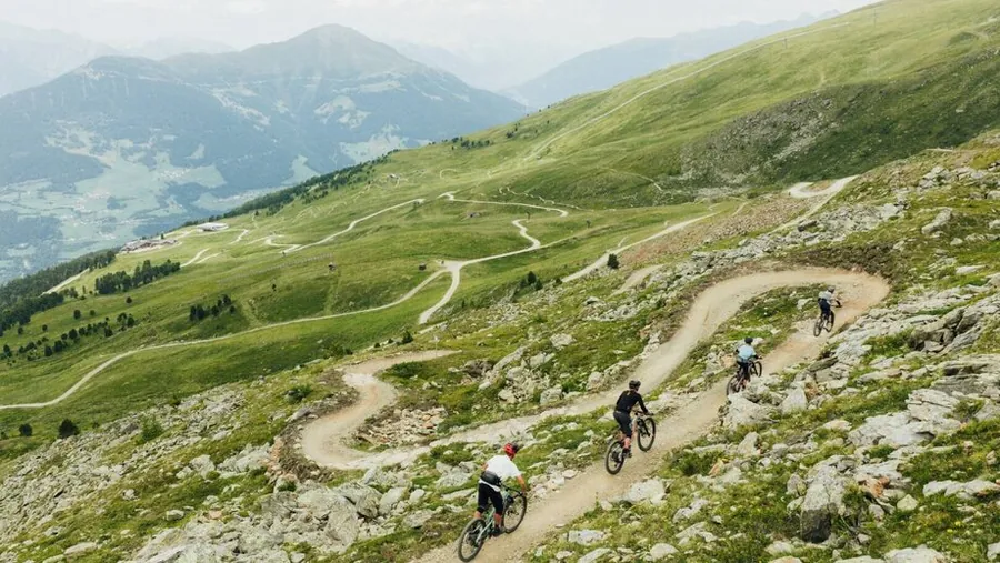
Nine bike park trails are around Waldbahn and Sunliner, with eight longer singletrack trails further out. You can combine short descents with longer rides. Frommestrail is the longest at 9,6 km.

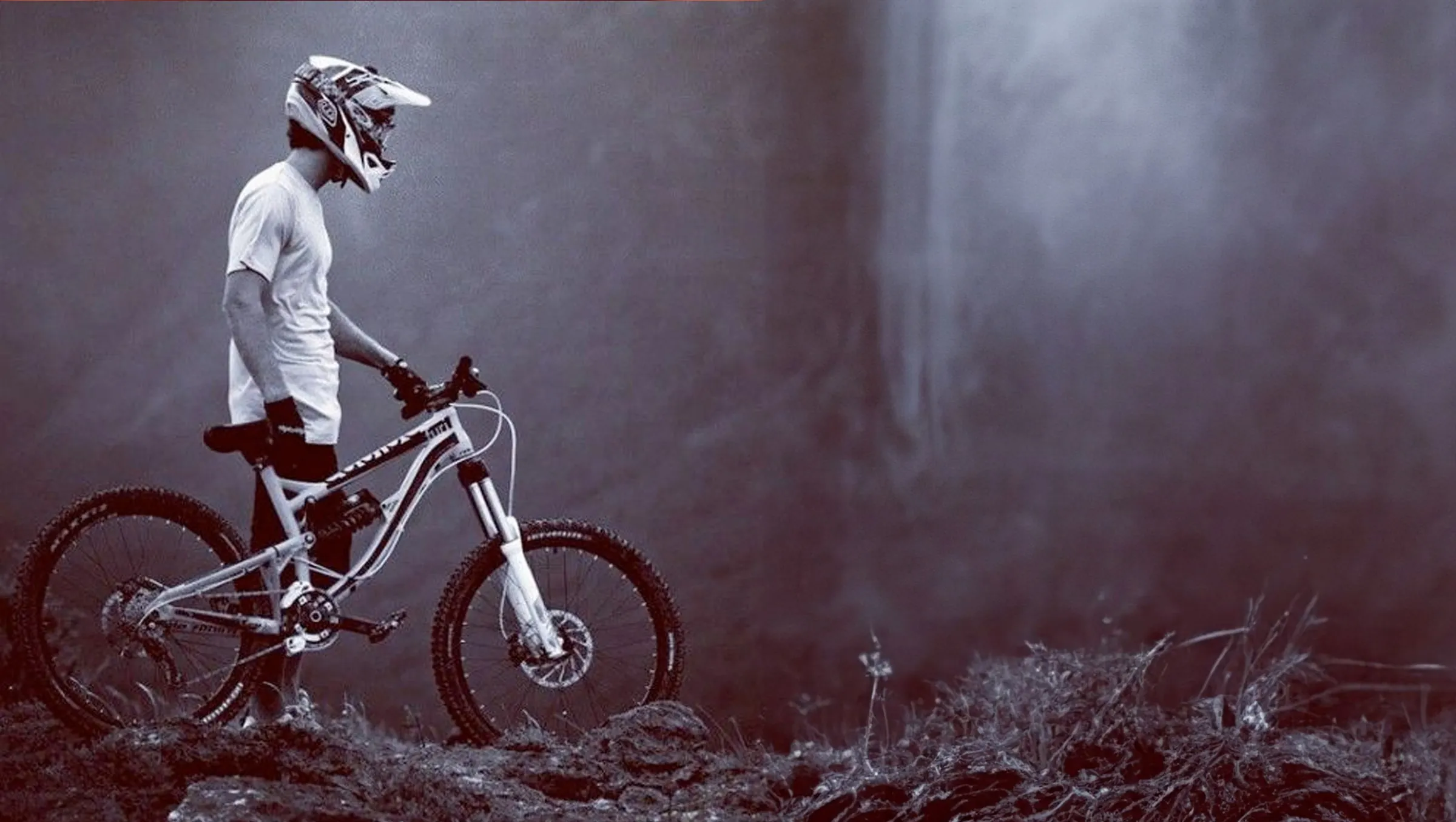
A rider wearing a full-face helmet stands with his downhill bike in the mist in front of dark trees.

5.482 metres of descent

Together, the 17 trails offer 5.482 metres of descent. You can plan your day around several descents or one longer trail. Frommestrail alone has 871 metres of descent.

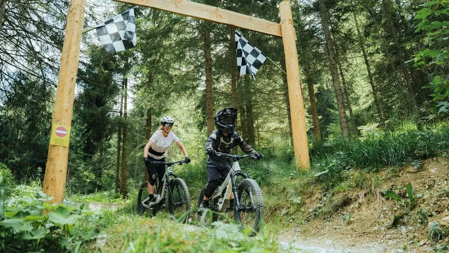
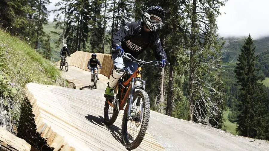
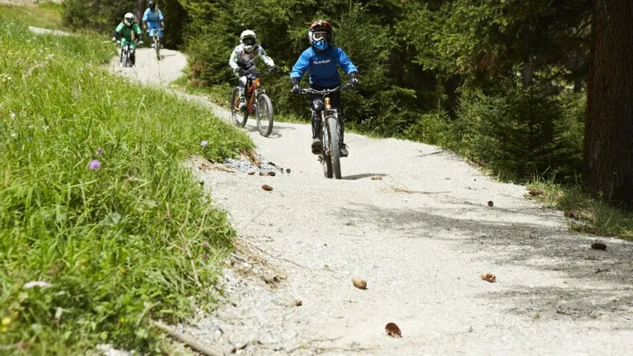
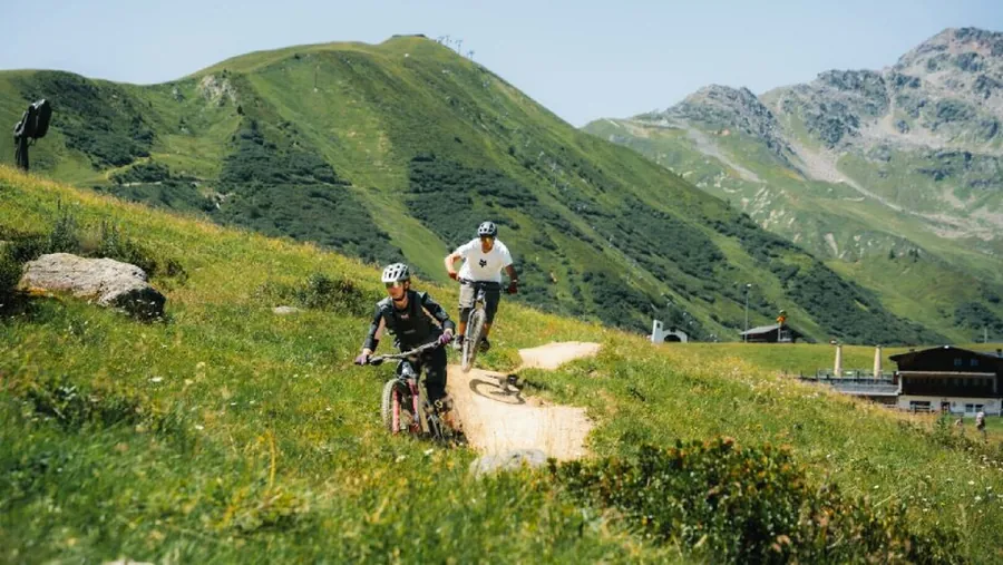
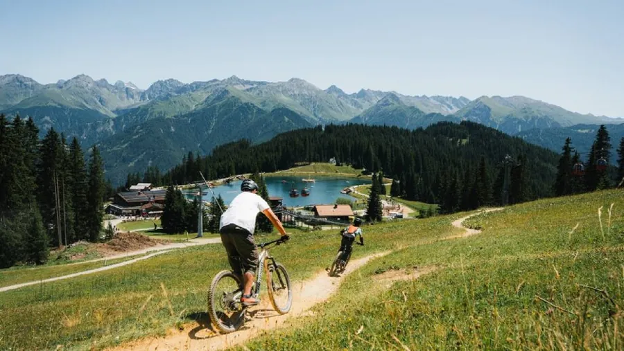
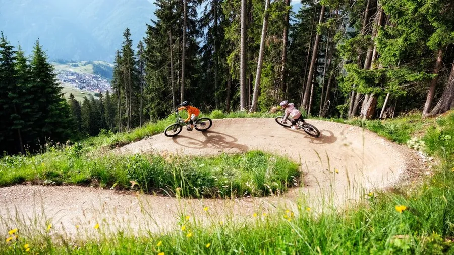
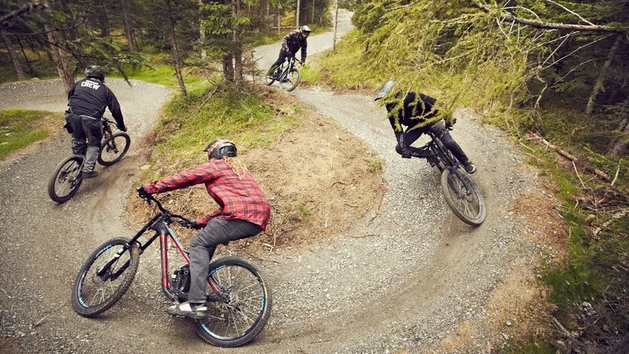
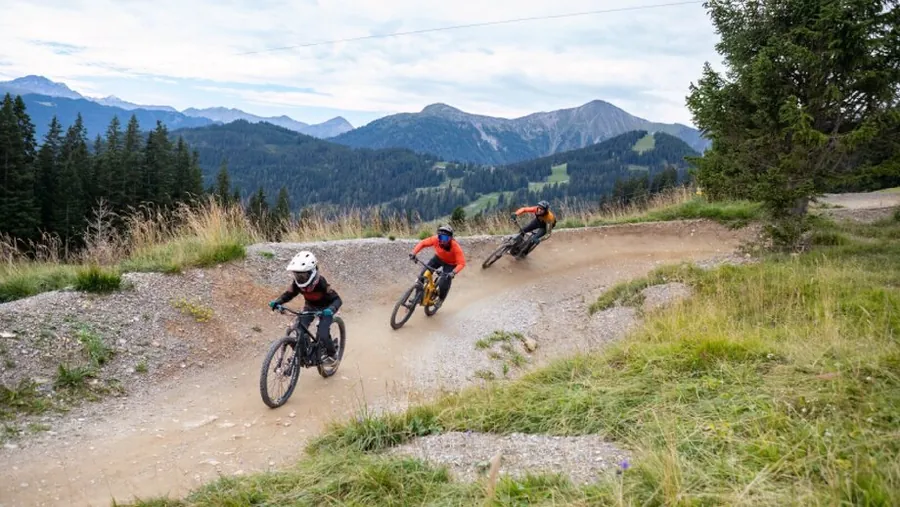
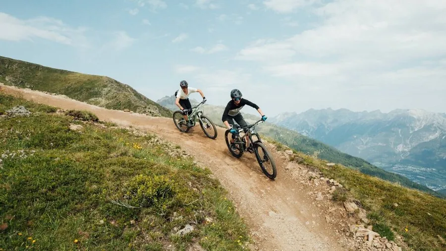
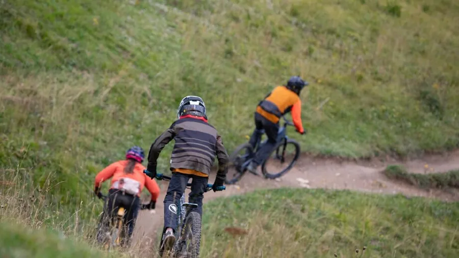
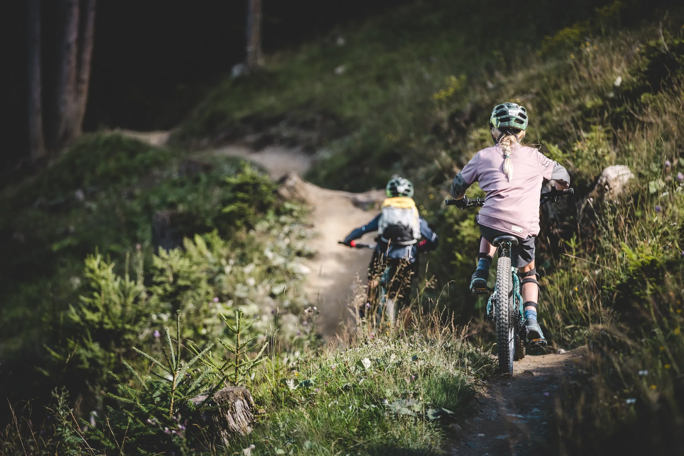
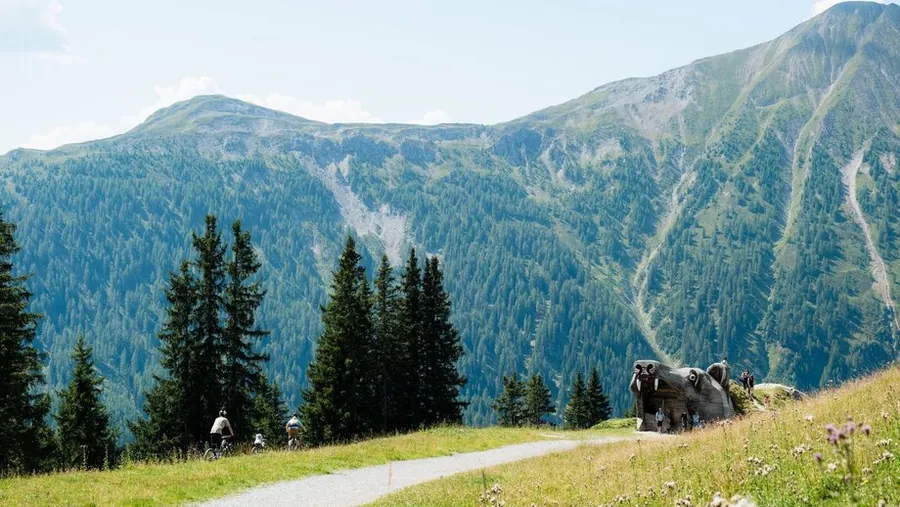
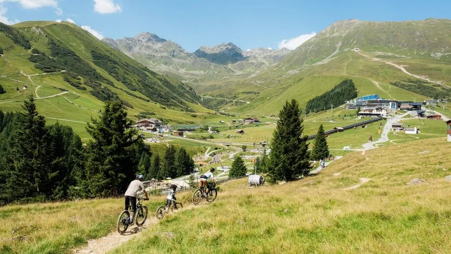
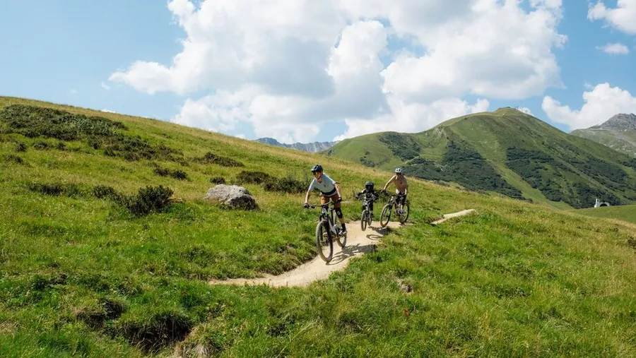
Two mountain bikers ride single file along a green trail, with a child in front.

4 difficulty levels to choose from

The map covers 2 very easy, 6 easy, 7 intermediate and 2 difficult trails. Use the map filter to find trails that suit your ability. The trail list also shows the length of each one.

Mountain biker lifts the front wheel among tall grasses, backlit by the sun
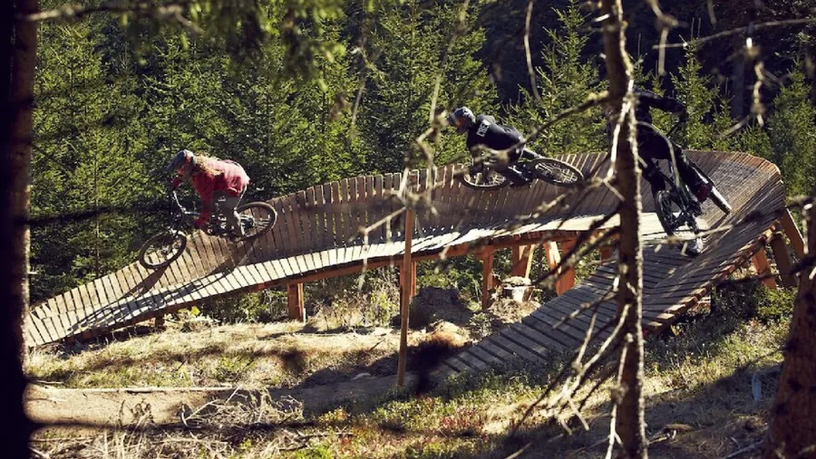
Mountain biker rides over a wooden bridge in the bike park, surrounded by dense forest.

03 · Bike storage

Your bike stays dry and locked away

Your room rate includes a lockable bike parking space in the underground garage. If the bike storage room is full, there is a bike rack outside the hotel. You can charge your e-bike using the sockets in the basement bike storage room, so it is ready to go again the next morning.

04 · Bike wash

Back to the hotel, all clean

After a dusty or wet ride, you can use the bike wash at Waldbahn. For any dirt still on your bike, cleaning cloths are available on request at Hotel Gebhard. That keeps the dirt outside and your bike ready for your next ride.

Back at the hotel

When you get back from your ride

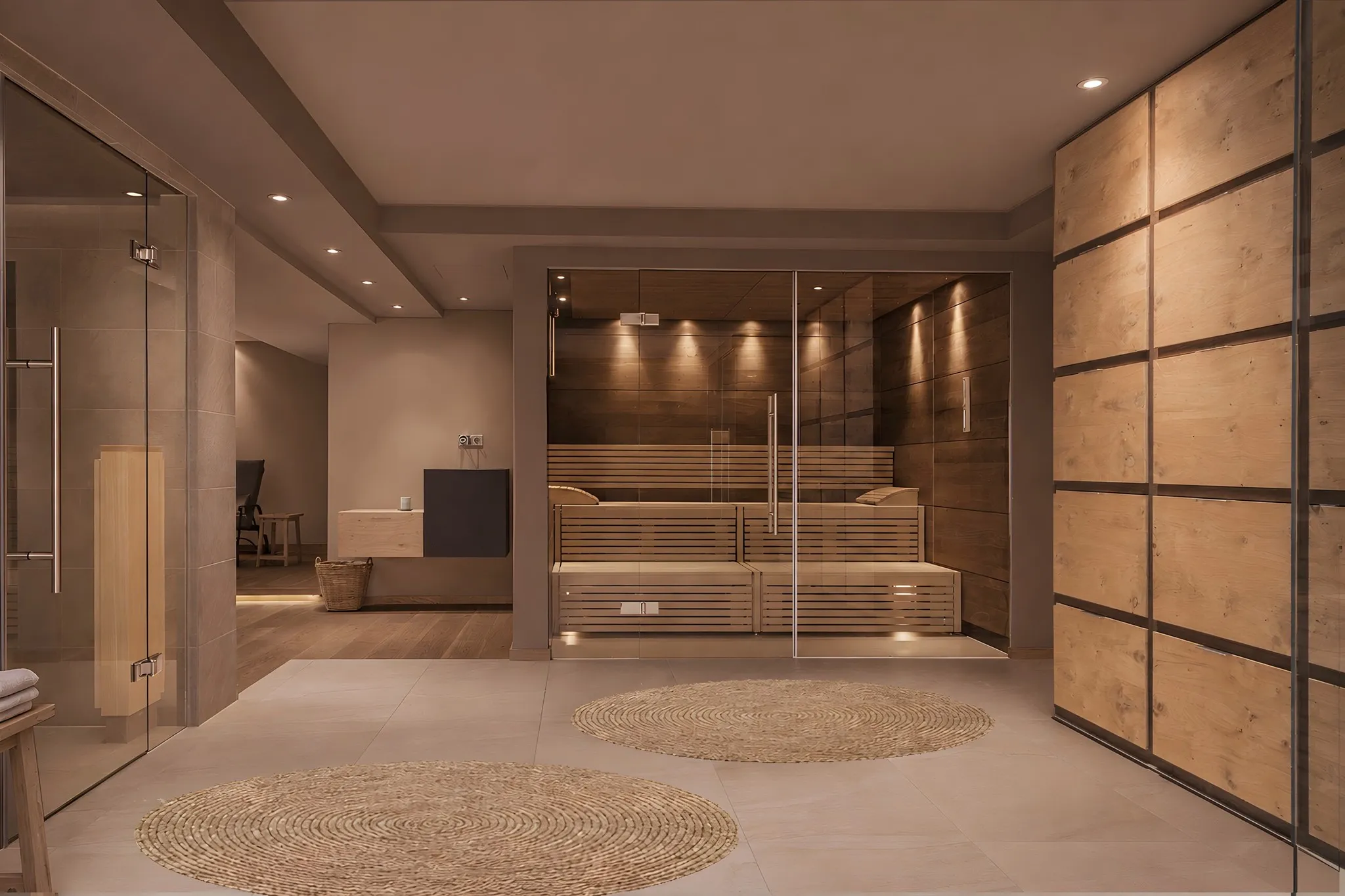
View of the sauna in the spa, with a glass door and wood panelling

Warmth for tired legs

Finnish sauna, herbal bio sauna, steam room and infrared. Afterwards, settle into the relaxation room. Your spa bag is already in your room.

Wellnesshotel
Cappuccino with milk foam seen from above on a greenish surface, with leaves casting shadows

Coffee and tea until 7 pm

Coffee, espresso, cappuccino, tea and hot chocolate are included in the price until 7 pm.

Coffeetea
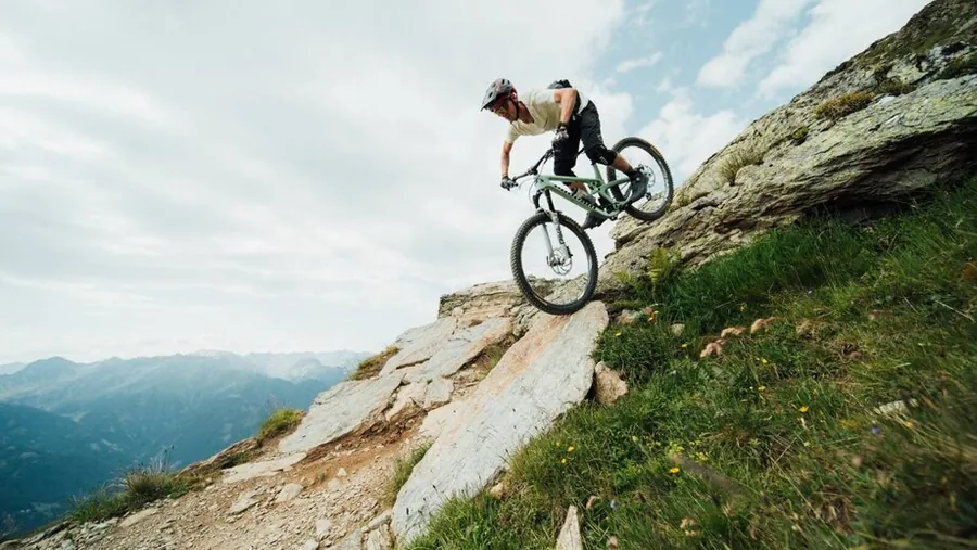
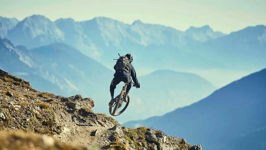
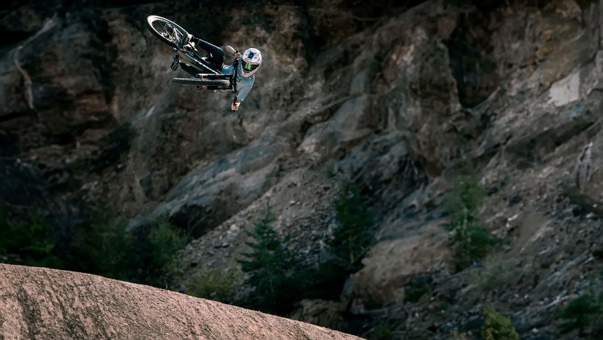
A mountain biker airborne above a rock face

05 · Super. Sommer. Card.

Mountain lifts and bike ticket

You’ll receive your Super. Sommer. Card. at check-in. It gives walkers free use of the mountain lifts, but bike transport is not included. Cyclists can get a discounted All-Mountain-Bike-Ticket. You’ll find the current prices for each season at bike-sfl.at and at reception.

Courses at the bike school are discounted too. The bike school is right by the Waldbahn valley station, just a few minutes’ walk from Fiss. You can choose your ticket and course when you’re here, to suit the days you want to spend on your bike.

CARD
at check-in
BIKE TICKET
discounted for cyclists
BIKE SCHOOL
discounted courses
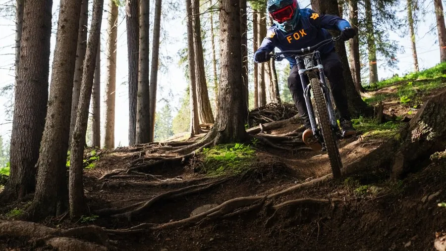
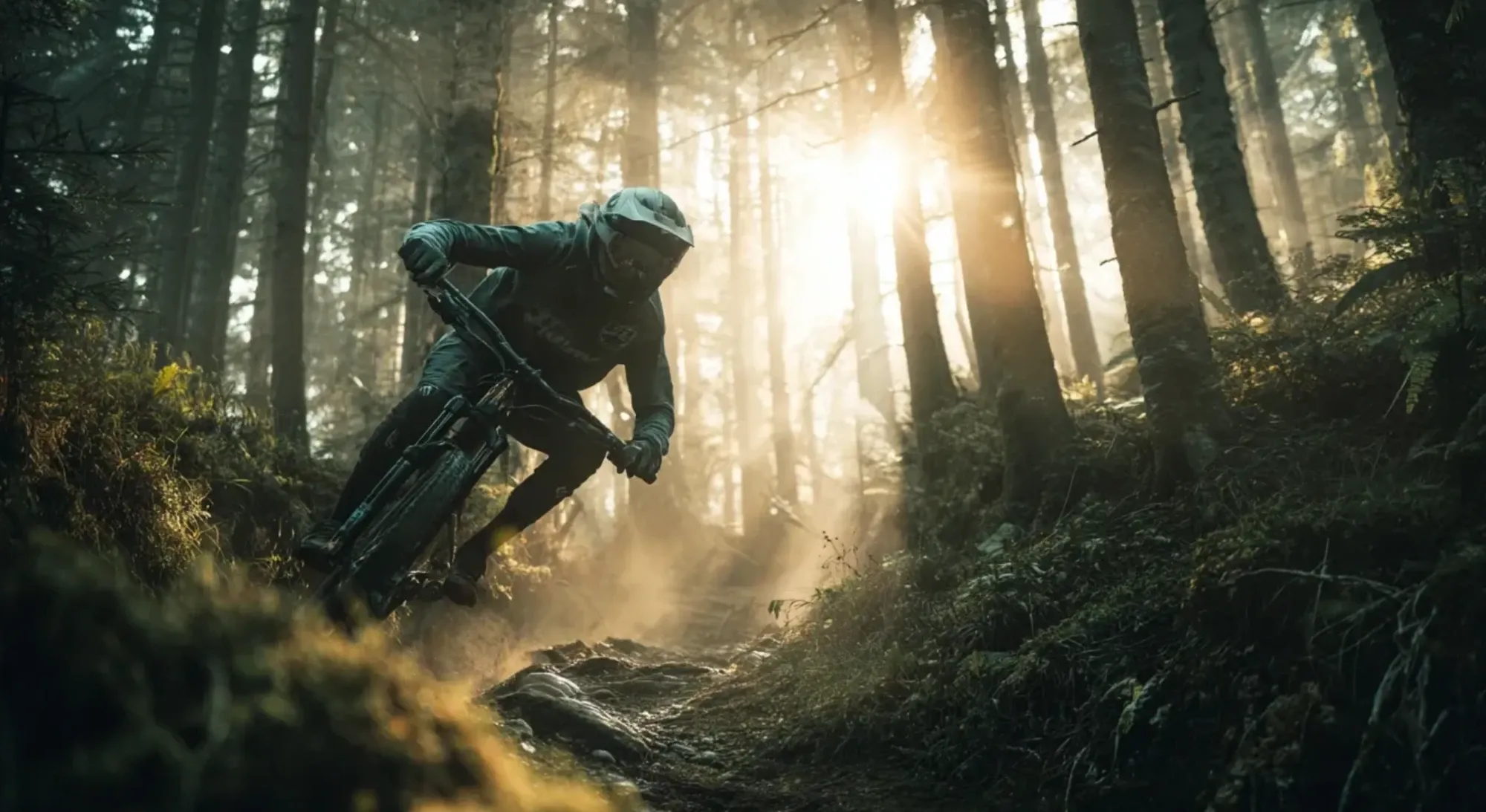
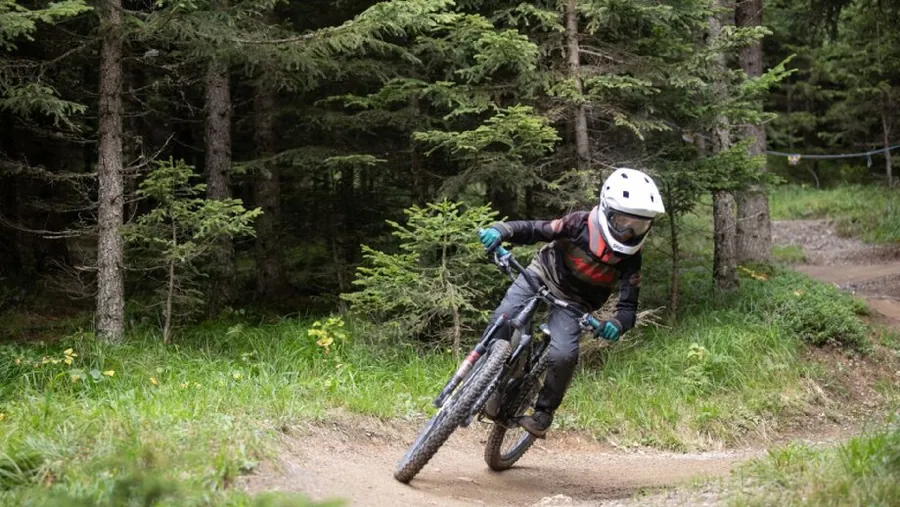
Mountain biker taking a bend on a forest trail, with sunbeams shining through the mist between the tree trunks
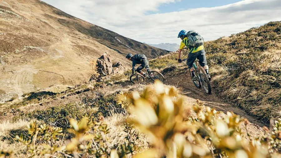
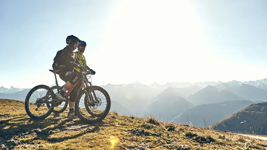
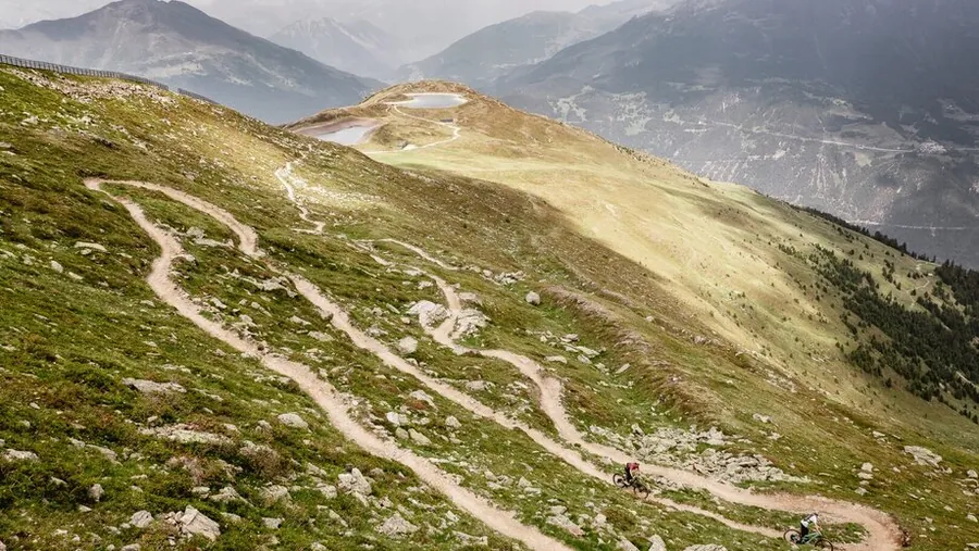
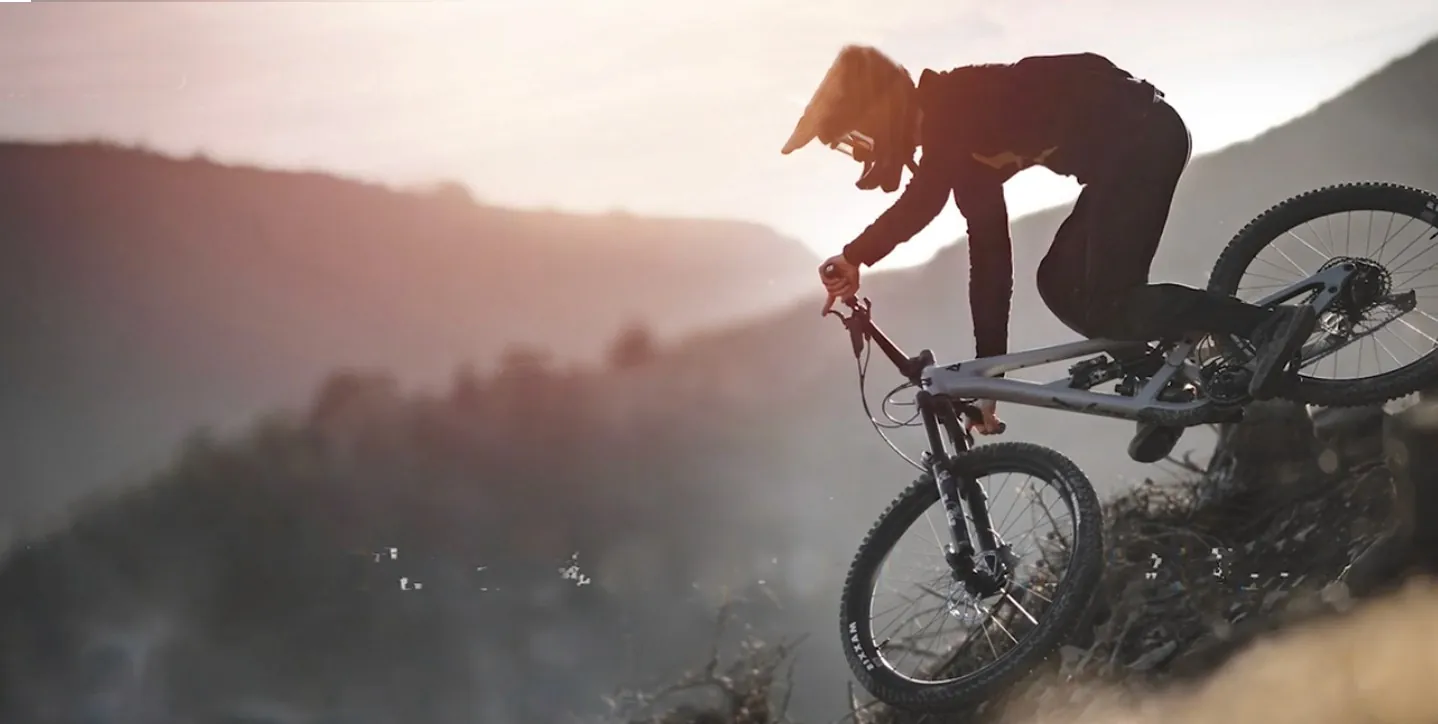
Mountain biker rides over a crest against a sweeping mountain panorama in the warm evening light.

06 · Plateau

Rides on the sunny plateau

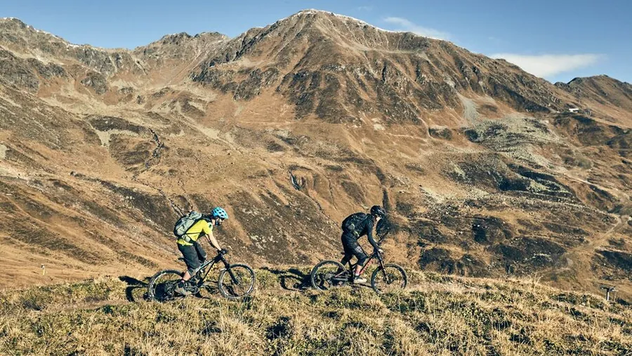
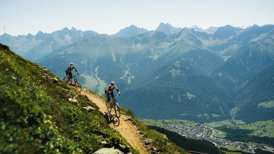
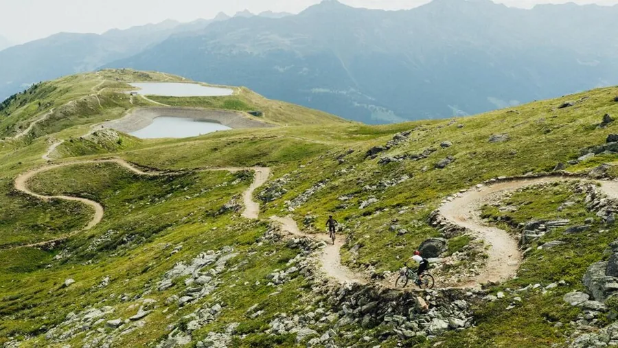
Serfaus, Fiss and Ladis sit at about 1.400 metres, around 600 metres above the Upper Inn Valley. Rides on the sunny plateau range from a gentle climb to an alpine pasture to a long circuit. You’ll find routes for a relaxed day as well as rides that cover more kilometres.

Eleven mountain lifts give you access to the region and more options for planning your day. Choose a longer circuit or link several descents, depending on the route, elevation gain and what you have planned for the day.

ALTITUDE
Villages at about 1.400 m
PLATEAU
around 600 m above the Inn Valley
LIFTS
11 in the region
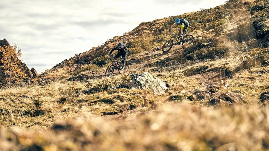
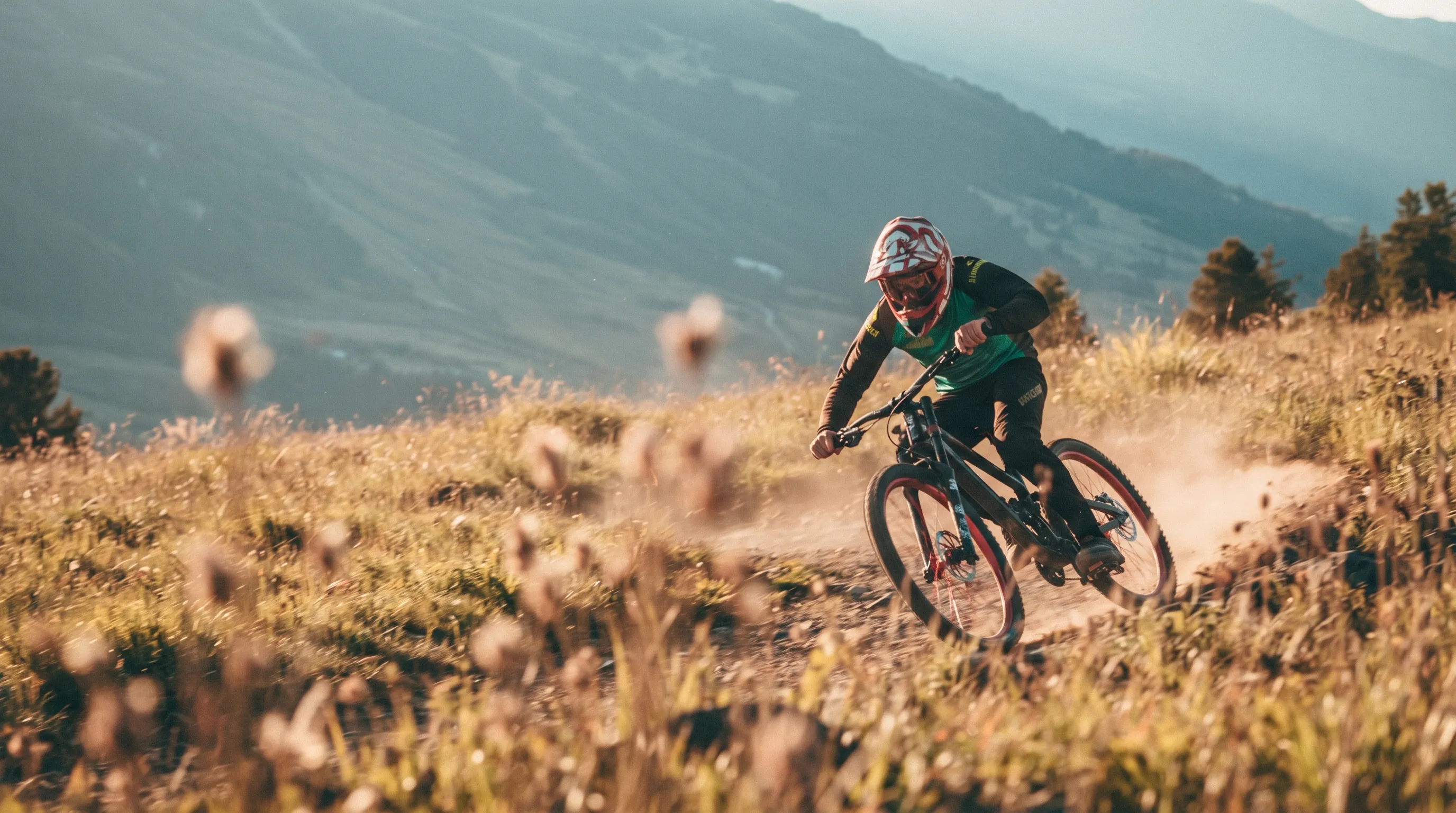
Mountain biker speeds round a bend on a singletrack trail across an alpine meadow, kicking up dust, with a broad mountainside behind in the evening light
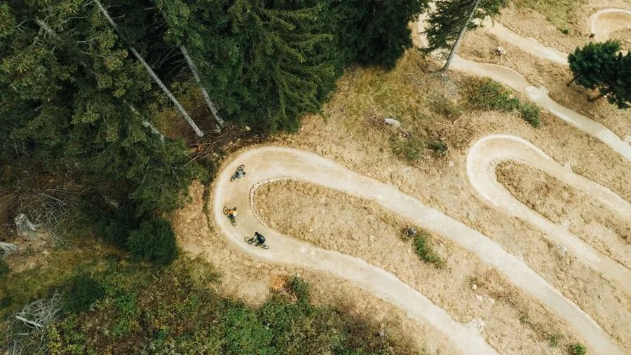
Mountain biker seen from above as a small figure on a trail in dense coniferous forest.

07 · Spa

Warm up after the descent

After your ride, the spa at Hotel Gebhard is open daily from 4 pm to 8 pm at no extra charge. You can use the Finnish sauna, gentle herbal sauna, steam room, infrared cabin, relaxation room and organic tea bar. A bathrobe and sauna towel are already waiting in your room.

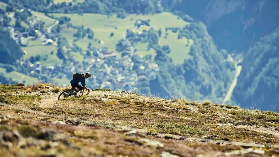
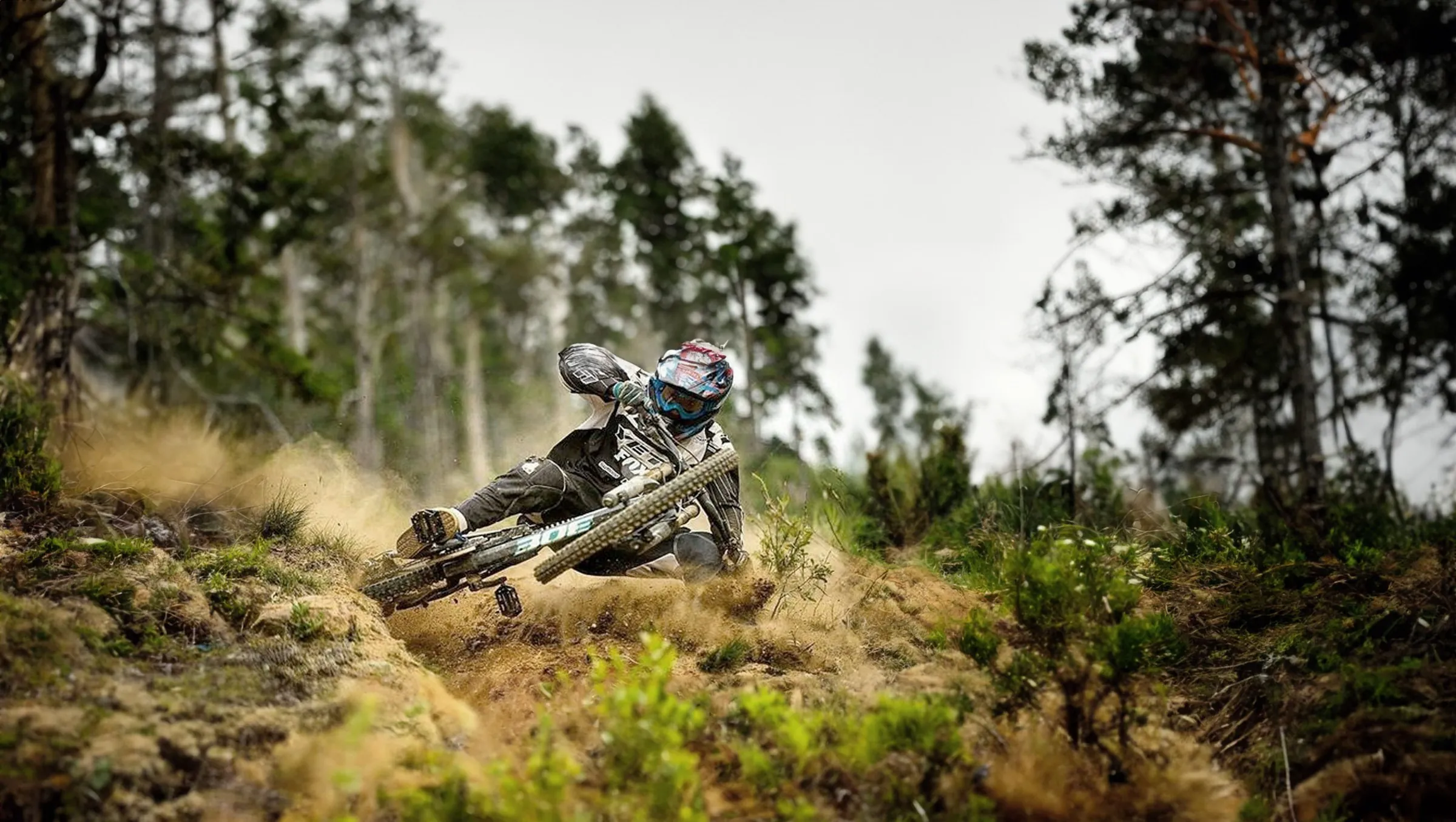
Mountain biker taking a bend on a meadow trail between trees

08 · Evening and breakfast

Eat when it suits your day

Hotel Gebhard is a bed and breakfast and does not offer half board. Coffee and espresso are available throughout the day, with the machine on until 7 pm. In the FREIRAUM, you can prepare something to eat at the Brotzeit snack bar until 9 pm. Each room has its own space in the fridge for your food.

If you'd prefer something hot in the evening, you can pre-order Pinsa Romana from our pop-up. We provide the drinks and do the washing-up. When you get back from your ride, you're free from fixed mealtimes or a traditional set dinner menu.

FREIRAUM
Brotzeit snack bar until 9 pm
PINSA
available to pre-order
COFFEE
Machine on until 7 pm
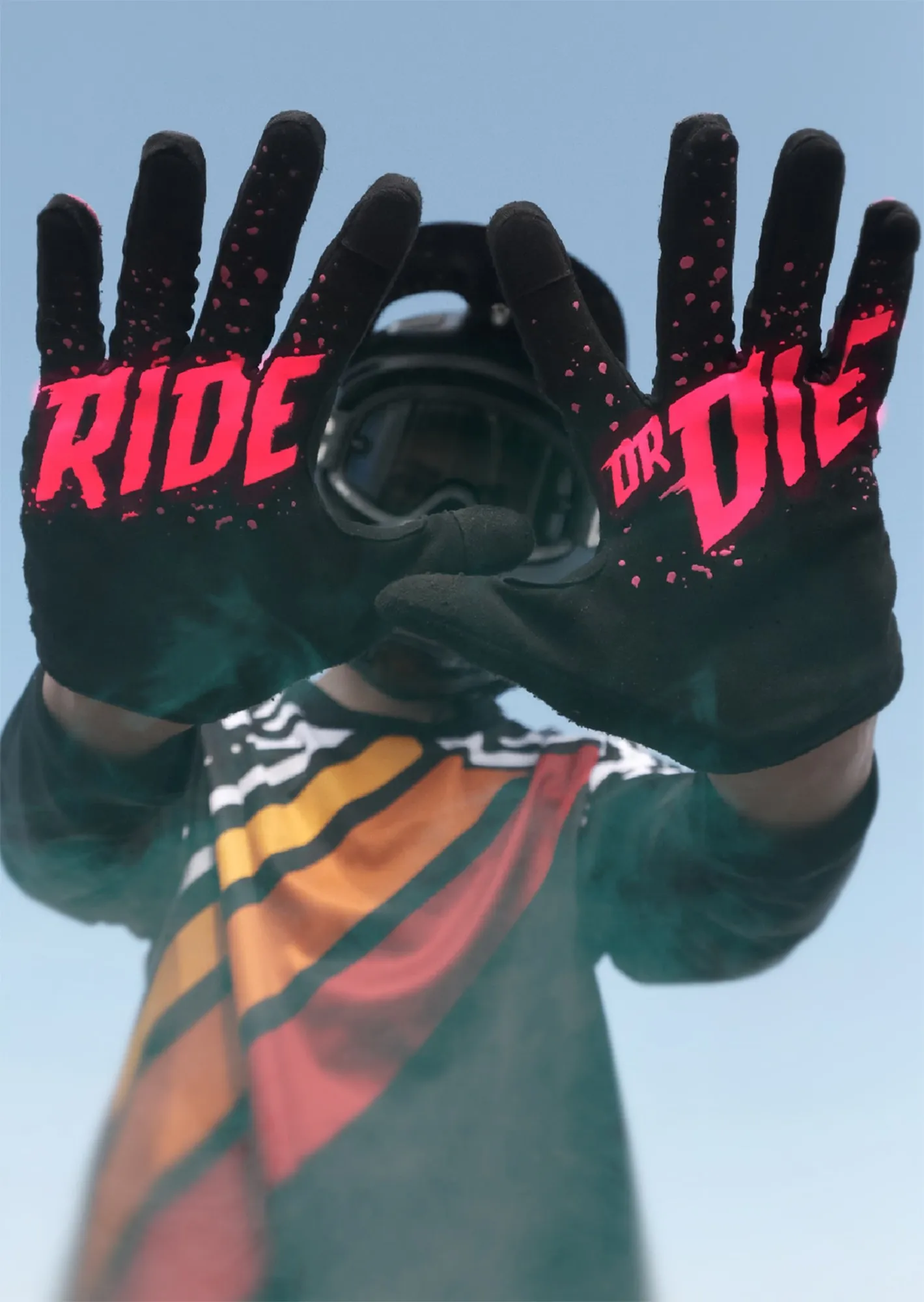
Hands in black gloves bearing the words Ride or Die against a blue sky
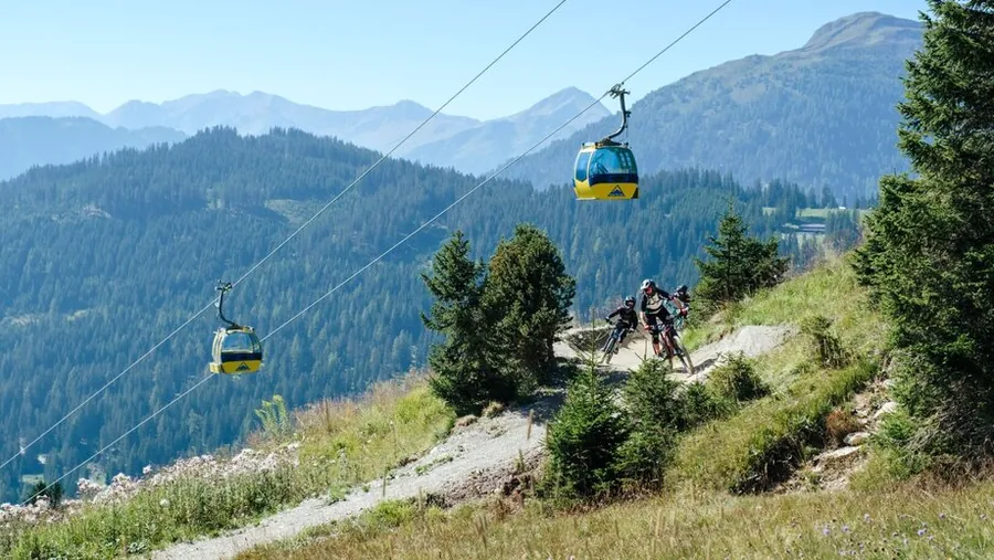
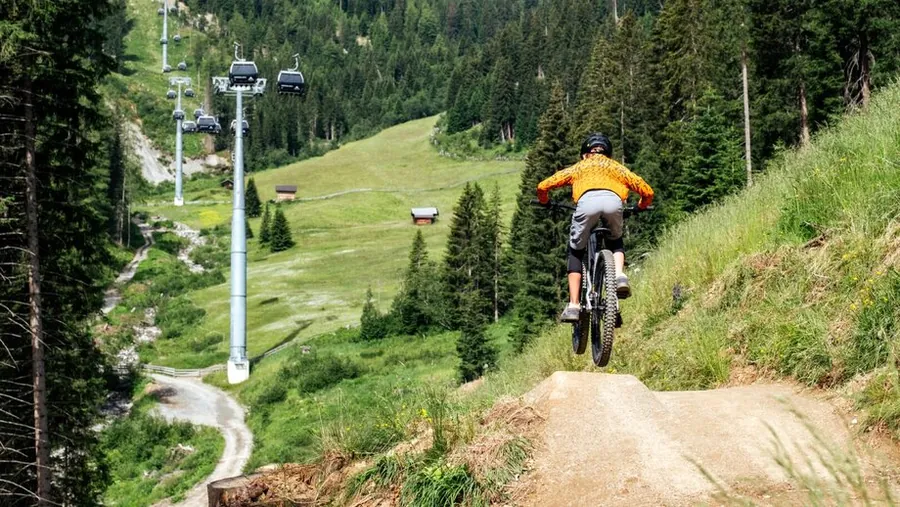
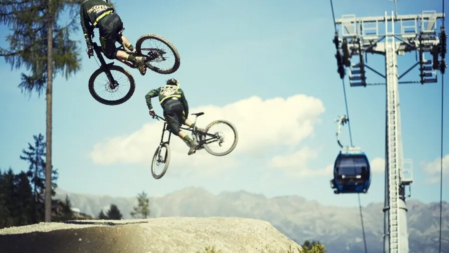
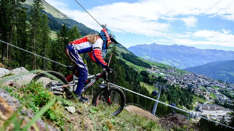
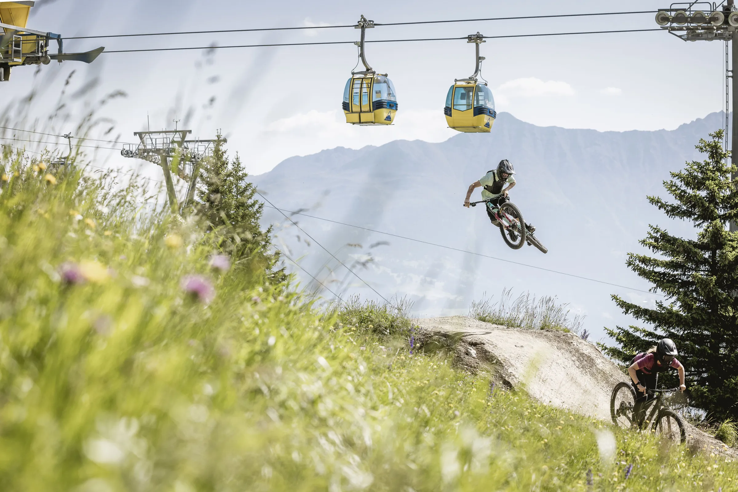
Mountain biker jumps over a mound in the bike park, with two yellow cable car gondolas above and mountains behind
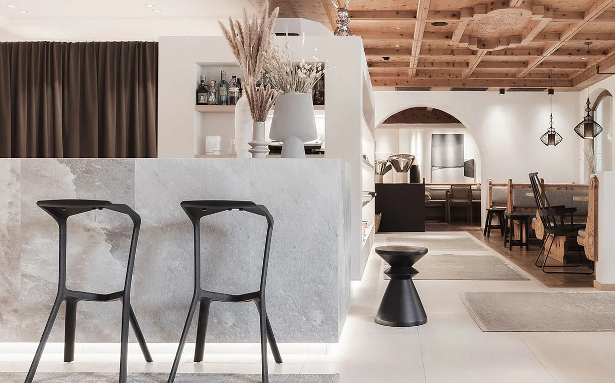
Hotel bar with bar stools beneath a wooden ceiling and open shelving in the background.
Two hands hold an open wholemeal sandwich over a round wooden bowl.
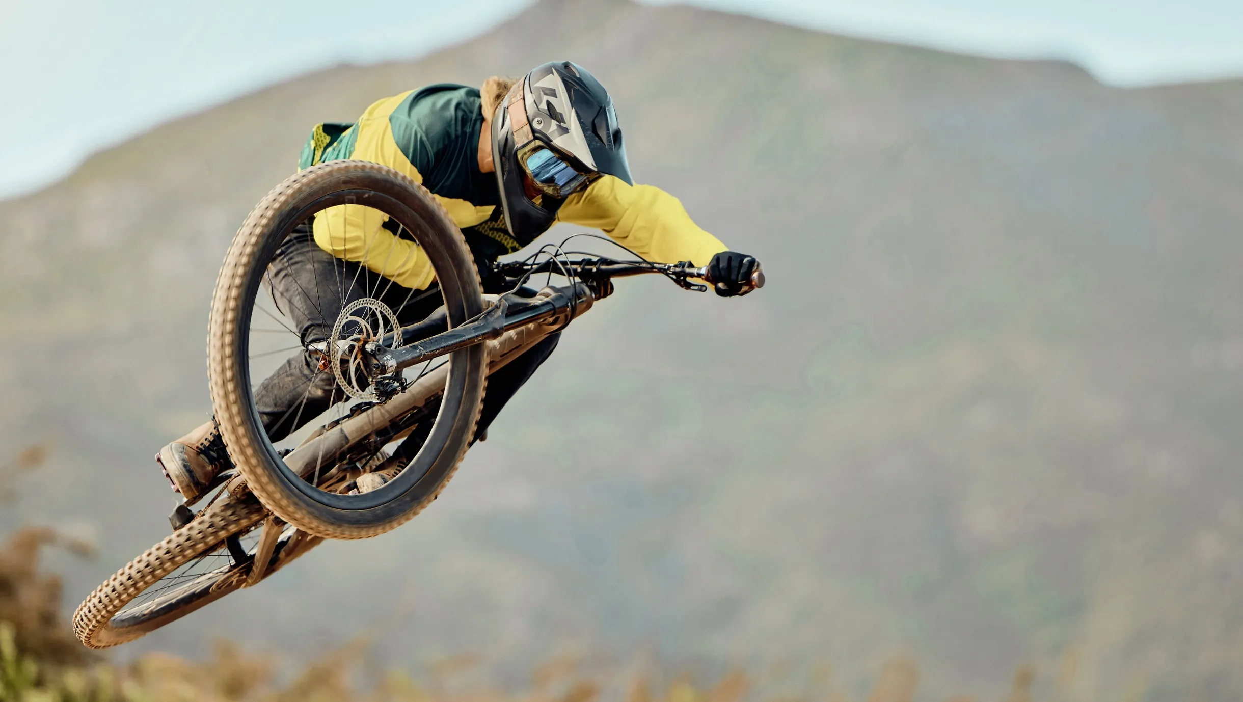
Mountain biker in a yellow jacket jumps with their bike in front of a steep rock face.
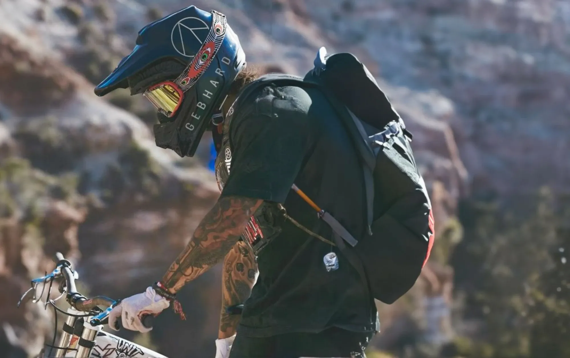
Mountain biker wearing a full-face helmet bearing the name GEBHARD, with a rucksack on their back and a hand on the handlebars
JournalRides for beginnersJournalCycling holidays in Tyrol
Hikingin FissRoomsratesGetting hereparking